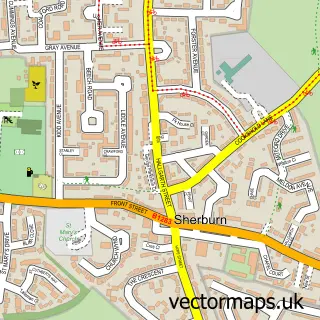
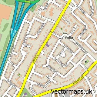
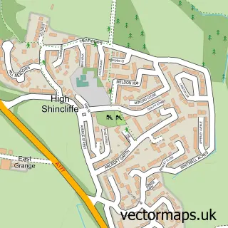
This Sherburn Hill street map is a detailed vector street map covering a 750m x 750m area. Select a larger area to create and download your own vector street map of Sherburn Hill.
The 750-metre map sample for Sherburn Hill covers 218 mapped buildings and approximately 10.8 km of road detail, of which 16 named roads are named. The immediate area includes 1 GP surgery within 2 miles and 1 MOT station within 2 miles. The wider area around Sherburn Hill features 1 campsite within 2 miles. To create a larger or custom map of Sherburn Hill, the map builder lets you define your own coverage area and download editable SVG, PDF and PNG files.
Create a larger editable map of Sherburn Hill
Choose any area you need and generate a high-quality vector map instantly. Perfect for print, planning, design, business and personal use.

This Sherburn Hill street map in Durham is available as downloadable SVG, PDF and PNG map files, or as a printed map for planning, business, display, education, local information and design work. You can also create a larger custom map area using the map selector.
What this Sherburn Hill map sample shows
Sherburn Hill lies within Shadforth Cp parish, part of Sherburn ward in the County Durham local authority area. The postcode geography for this area includes the DH postcode area, the DH6 postcode district and the DH6 1 postcode sector. Residents fall under the Nhs North East And North Cumbria Integrated Care Board for NHS services.
Local features near Sherburn Hill
Within 2 milesAmenities and services in and around Sherburn Hill.
Administrative and postcode information for Sherburn Hill
The local authority covering Sherburn Hill is County Durham, within the county of Durham. The settlement lies within Sherburn ward and Shadforth Cp civil parish. The DH6 postcode district and DH6 1 postcode sector serve the immediate area. NHS provision in the area is delivered through County Durham And Darlington Nhs Foundation Trust.
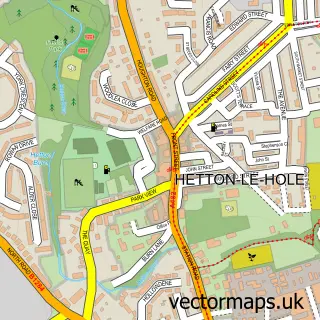
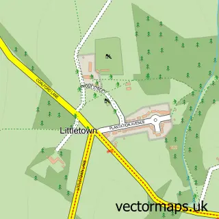
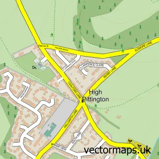
Nearby street map samples around Sherburn Hill

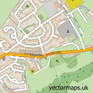
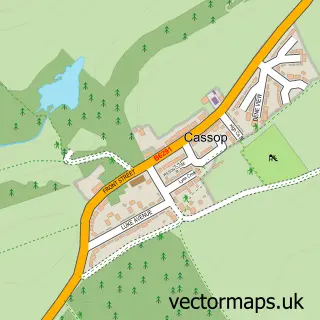
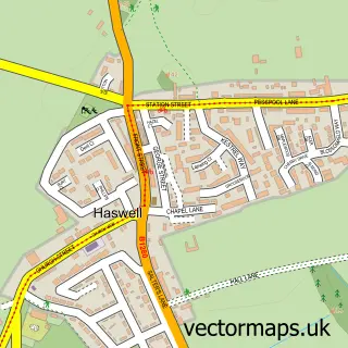
More street maps in Durham
750 metre map area coverage
Boundary, postcode and point of interest information for the 750m x 750m rectangle centred on this sample map.
Boundaries containing map centre
Constituency: City of Durham Co Const
District: County Durham
Icb: NHS North East and North Cumbria ICB
Parish: Shadforth CP
Police Force: durham
Postcode District: DH6
Postcode Sector: DH6 1
Nearby boundaries intersecting sample
Parish: Sherburn Village CP
Postcode coverage
POI category counts
Beauty Salon: 2
Funeral Services And Cemeteries: 2
Laundry Services: 2
Pizza Restaurant: 2
Professional Services: 2
Accountant: 1
Automotive Repair: 1
Barber: 1
Business Equipment And Supply: 1
Car Dealer: 1
Sample points of interest
- Think Kudos
- Martin Patton Motors
- Hilltop Barbers
- Strictly Beauty Clinic
- Strictly Hair Beauty and Extensions
- Pirnmill Access Solutions
- Reg Vardy
- Salvation Army
- Sherburn Hill Community Hub
- Keepmoat Showhome & Sales Centre
- Evri ParcelShop
- Co-op Funeralcare
Create a larger editable map of Sherburn Hill
This sample shows only a 750 metre area. To create a larger map of Sherburn Hill, use our map builder to choose your own coverage area, add titles and download editable SVG, PDF and PNG files.
Create a custom map of Sherburn Hill