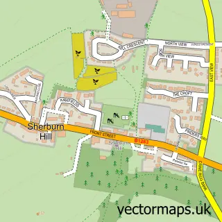
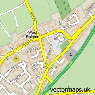
This Sherburn street map is a detailed vector street map covering a 750m x 750m area. Select a larger area to create and download your own vector street map of Sherburn.
The 750-metre map sample for Sherburn covers 555 mapped buildings and approximately 22.2 km of road detail, of which 40 named roads are named. The immediate area includes 1 school, 2 GP surgeries within 2 miles, 2 pubs and 12 MOT stations within 2 miles. The wider area around Sherburn features 1 tourism point of interest, 3 food and drink venues and 1 hotel. To create a larger or custom map of Sherburn, the map builder lets you define your own coverage area and download editable SVG, PDF and PNG files.
Create a larger editable map of Sherburn
Choose any area you need and generate a high-quality vector map instantly. Perfect for print, planning, design, business and personal use.

This Sherburn street map in Durham is available as downloadable SVG, PDF and PNG map files, or as a printed map for planning, business, display, education, local information and design work. You can also create a larger custom map area using the map selector.
What this Sherburn map sample shows
Sherburn lies within Sherburn Village Cp parish, part of Sherburn ward in the County Durham local authority area. The postcode geography for this area includes the DH postcode area, the DH6 postcode district and the DH6 1 postcode sector. Residents fall under the Nhs North East And North Cumbria Integrated Care Board for NHS services.
Local features near Sherburn
Within 2 milesAmenities and services in and around Sherburn.
Administrative and postcode information for Sherburn
Sherburn lies within Sherburn Village Cp parish, part of Sherburn ward in the County Durham local authority area. The postcode geography for this area includes the DH postcode area, the DH6 postcode district and the DH6 1 postcode sector. Residents fall under the Nhs North East And North Cumbria Integrated Care Board for NHS services.
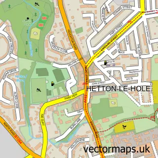
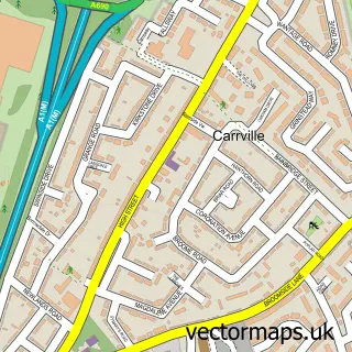
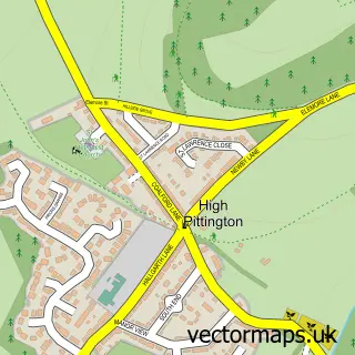
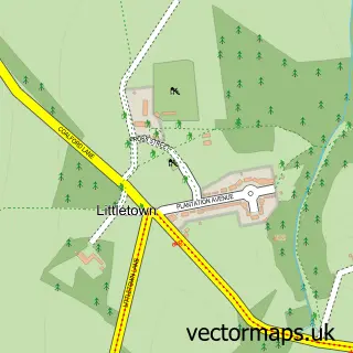
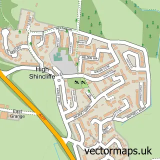
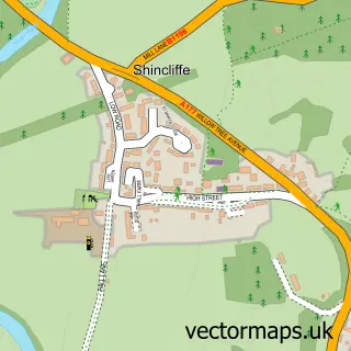
Nearby street map samples around Sherburn

More street maps in Durham
750 metre map area coverage
Boundary, postcode and point of interest information for the 750m x 750m rectangle centred on this sample map.
Boundaries containing map centre
Constituency: City of Durham Co Const
District: County Durham
Icb: NHS North East and North Cumbria ICB
Parish: Sherburn Village CP
Police Force: durham
Postcode District: DH6
Postcode Sector: DH6 1
Nearby boundaries intersecting sample
No additional intersecting boundaries found.
Postcode coverage
POI category counts
Beauty Salon: 5
Bakery: 4
Post Office: 3
Bridal Shop: 2
Building Supply Store: 2
Driving School: 2
Pub: 2
Roofing: 2
Alternative Medicine: 1
Anglican Church: 1
Sample points of interest
- Heavenscent
- St Mary's, Sherburn Village
- The Cooperative Food (BF) Sherburn, Sherburn Village
- Browns Auto Services
- Cooplands
- Peters Cathedral Bakers
- Sherburn
- Sugar mammas
- DHM Aesthetics & Beauty
- Forever Young Beauty
- Luxury Lounge
- Mandy Kelly Beauty
Create a larger editable map of Sherburn
This sample shows only a 750 metre area. To create a larger map of Sherburn, use our map builder to choose your own coverage area, add titles and download editable SVG, PDF and PNG files.
Create a custom map of Sherburn