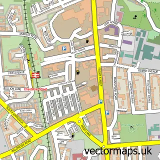
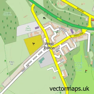
This Newfield street map is a detailed vector street map covering a 750m x 750m area. Select a larger area to create and download your own vector street map of Newfield.
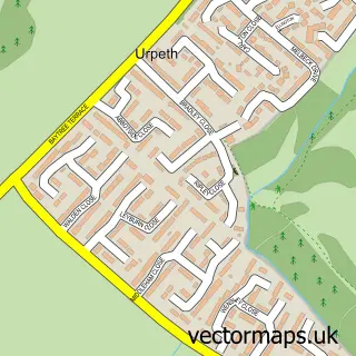
The 750-metre map sample for Newfield covers 161 mapped buildings and approximately 12.9 km of road detail, of which 15 named roads are named. The immediate area includes 1 school, 3 GP surgeries within 2 miles and 5 MOT stations within 2 miles. The wider area around Newfield features 1 tourism point of interest, 1 food and drink venue and 1 hotel. To create a larger or custom map of Newfield, the map builder lets you define your own coverage area and download editable SVG, PDF and PNG files.
Create a larger editable map of Newfield
Choose any area you need and generate a high-quality vector map instantly. Perfect for print, planning, design, business and personal use.

This Newfield street map in Durham is available as downloadable SVG, PDF and PNG map files, or as a printed map for planning, business, display, education, local information and design work. You can also create a larger custom map area using the map selector.
What this Newfield map sample shows
Newfield lies within Pelton Cp parish, part of Pelton ward in the County Durham local authority area. The postcode geography for this area includes the DH postcode area, the DH2 postcode district and the DH2 1 postcode sector. Residents fall under the Nhs North East And North Cumbria Integrated Care Board for NHS services.
Local features near Newfield
Within 2 milesAmenities and services in and around Newfield.
Administrative and postcode information for Newfield
Newfield lies within Pelton Cp parish, part of Pelton ward in the County Durham local authority area. The postcode geography for this area includes the DH postcode area, the DH2 postcode district and the DH2 1 postcode sector. Residents fall under the Nhs North East And North Cumbria Integrated Care Board for NHS services.
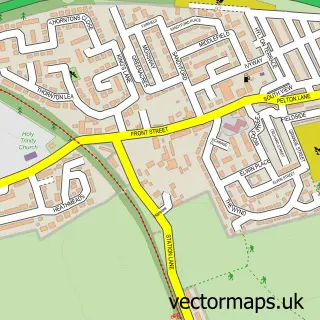
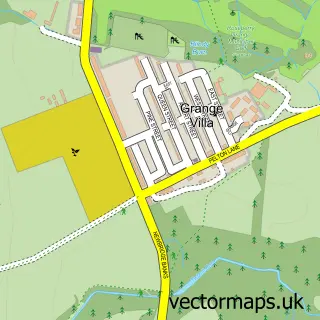
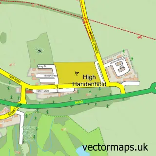
Nearby street map samples around Newfield

More street maps in Durham
750 metre map area coverage
Boundary, postcode and point of interest information for the 750m x 750m rectangle centred on this sample map.
Boundaries containing map centre
Constituency: North Durham Co Const
District: County Durham
Icb: NHS North East and North Cumbria ICB
Police Force: durham
Postcode District: DH2
Postcode Sector: DH2 2
Nearby boundaries intersecting sample
Parish: Pelton CP
Postcode Sector: DH2 1, DH2 3
Postcode coverage
POI category counts
Automotive Repair: 2
Beauty And Spa: 2
Printing Services: 2
Attractions And Activities: 1
Bar: 1
Building Contractor: 1
Construction Services: 1
Convenience Store: 1
Dentist: 1
Education: 1
Sample points of interest
- Roseberry Playing Fields
- M&D Patrick Motors
- R.B.L.H Mobile Auto Service
- Newfield Inn
- ML Beauty
- bycourtneeryder_
- A & a Cleaning Services
- The Colton Group
- Premier
- Pelton Lane Ends Dental Practice
- Roseberry College and Sixth Form
- Roseberry Primary School
Create a larger editable map of Newfield
This sample shows only a 750 metre area. To create a larger map of Newfield, use our map builder to choose your own coverage area, add titles and download editable SVG, PDF and PNG files.
Create a custom map of Newfield