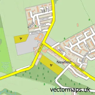
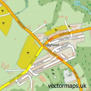
This West Pelton street map is a detailed vector street map covering a 750m x 750m area. Select a larger area to create and download your own vector street map of West Pelton.
The 750-metre map sample for West Pelton covers 98 mapped buildings and approximately 10.9 km of road detail, of which 7 named roads are named. The immediate area includes 1 school, 2 GP surgeries within 2 miles and 1 MOT station, with 5 within 2 miles. To create a larger or custom map of West Pelton, the map builder lets you define your own coverage area and download editable SVG, PDF and PNG files.
Create a larger editable map of West Pelton
Choose any area you need and generate a high-quality vector map instantly. Perfect for print, planning, design, business and personal use.

This West Pelton street map in Durham is available as downloadable SVG, PDF and PNG map files, or as a printed map for planning, business, display, education, local information and design work. You can also create a larger custom map area using the map selector.
What this West Pelton map sample shows
West Pelton lies within Urpeth Cp parish, part of Pelton ward in the County Durham local authority area. The postcode geography for this area includes the DH postcode area, the DH9 postcode district and the DH9 6 postcode sector. Residents fall under the Nhs North East And North Cumbria Integrated Care Board for NHS services.
Local features near West Pelton
Within 2 milesAmenities and services in and around West Pelton.
Administrative and postcode information for West Pelton
The local authority covering West Pelton is County Durham, within the county of Durham. The settlement lies within Pelton ward and Urpeth Cp civil parish. The DH9 postcode district and DH9 6 postcode sector serve the immediate area. NHS provision in the area is delivered through County Durham And Darlington Nhs Foundation Trust.
Nearby street map samples around West Pelton
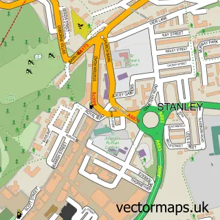

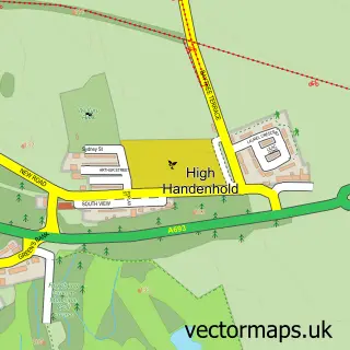
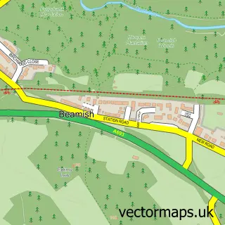
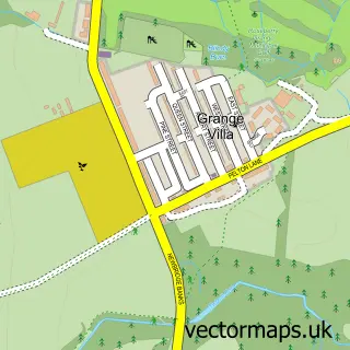
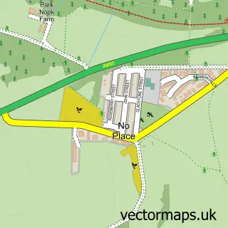
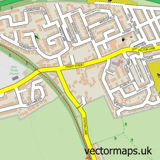
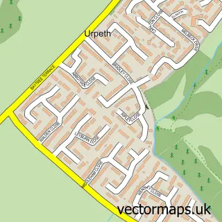
More street maps in Durham
750 metre map area coverage
Boundary, postcode and point of interest information for the 750m x 750m rectangle centred on this sample map.
Boundaries containing map centre
Constituency: North Durham Co Const
District: County Durham
Icb: NHS North East and North Cumbria ICB
Parish: Urpeth CP
Police Force: durham
Postcode District: DH9
Postcode Sector: DH9 6
Nearby boundaries intersecting sample
Parish: Edmondsley CP, Pelton CP
Postcode District: DH2
Postcode Sector: DH2 1, DH2 3, DH9 0
Postcode coverage
POI category counts
Automotive Repair: 2
Anglican Church: 1
Beauty Salon: 1
Courier And Delivery Services: 1
Currency Exchange: 1
Elementary School: 1
Holiday Rental Home: 1
Hunting And Fishing Supplies: 1
Lodge: 1
Printing Equipment And Supply: 1
Sample points of interest
- West Pelton: St Paul
- Durham Motor Services
- Jamieson's Garage
- Amy Rose Beauty
- Evri ParcelShop
- Post Office Travel Money
- West Pelton Primary School
- The Fairways
- Mountain High River Deep
- Beamish Glamping
- J's This and that
- Beamish Residential Care Home
Create a larger editable map of West Pelton
This sample shows only a 750 metre area. To create a larger map of West Pelton, use our map builder to choose your own coverage area, add titles and download editable SVG, PDF and PNG files.
Create a custom map of West Pelton