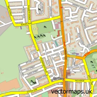
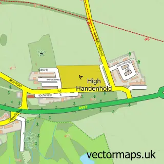
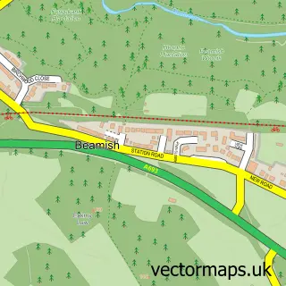
This Urpeth street map is a detailed vector street map covering a 750m x 750m area. Select a larger area to create and download your own vector street map of Urpeth.
The 750-metre map sample for Urpeth covers 241 mapped buildings and approximately 12.2 km of road detail, of which 15 named roads are named. The immediate area includes 3 GP surgeries within 2 miles, 1 pub and 8 MOT stations within 2 miles. The wider area around Urpeth features 1 food and drink venue and 1 hotel. To create a larger or custom map of Urpeth, the map builder lets you define your own coverage area and download editable SVG, PDF and PNG files.
Create a larger editable map of Urpeth
Choose any area you need and generate a high-quality vector map instantly. Perfect for print, planning, design, business and personal use.

This Urpeth street map in Durham is available as downloadable SVG, PDF and PNG map files, or as a printed map for planning, business, display, education, local information and design work. You can also create a larger custom map area using the map selector.
What this Urpeth map sample shows
Urpeth lies within Ouston Cp parish, part of Pelton ward in the County Durham local authority area. The postcode geography for this area includes the DH postcode area, the DH2 postcode district and the DH2 1 postcode sector. Residents fall under the Nhs North East And North Cumbria Integrated Care Board for NHS services.
Local features near Urpeth
Within 2 milesAmenities and services in and around Urpeth.
Administrative and postcode information for Urpeth
Urpeth lies within Ouston Cp parish, part of Pelton ward in the County Durham local authority area. The postcode geography for this area includes the DH postcode area, the DH2 postcode district and the DH2 1 postcode sector. Residents fall under the Nhs North East And North Cumbria Integrated Care Board for NHS services.
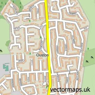
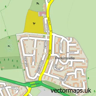
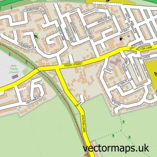
Nearby street map samples around Urpeth

More street maps in Durham
750 metre map area coverage
Boundary, postcode and point of interest information for the 750m x 750m rectangle centred on this sample map.
Boundaries containing map centre
Constituency: North Durham Co Const
District: County Durham
Icb: NHS North East and North Cumbria ICB
Parish: Urpeth CP
Police Force: durham
Postcode District: DH2
Postcode Sector: DH2 1
Nearby boundaries intersecting sample
No additional intersecting boundaries found.
Postcode coverage
POI category counts
Automotive Repair: 1
Building Contractor: 1
Building Supply Store: 1
Business: 1
Courier And Delivery Services: 1
Food Delivery Service: 1
Grocery Store: 1
Human Resource Services: 1
International Business And Trade Services: 1
Landscape Architect: 1
Sample points of interest
- D H 2 U
- J E Windows
- Colin Henderson
- Cash Control Systems
- Evri ParcelShop
- Evri ParcelShop
- Northern-Fairs
- Leyburn Solutions
- AF Installation Services
- Urpeth Ground Care
- Lifestyle Express
- InPost
Create a larger editable map of Urpeth
This sample shows only a 750 metre area. To create a larger map of Urpeth, use our map builder to choose your own coverage area, add titles and download editable SVG, PDF and PNG files.
Create a custom map of Urpeth