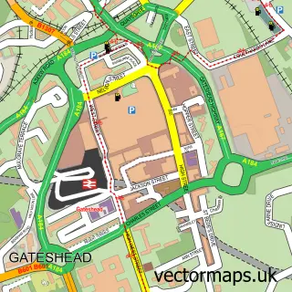
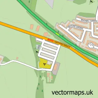
This Newcastle upon Tyne street map is a detailed vector street map covering a 750m x 750m area. Select a larger area to create and download your own vector street map of Newcastle upon Tyne.
The 750-metre map sample for Newcastle upon Tyne covers 101 mapped buildings and approximately 26.5 km of road detail, of which 64 named roads are named. The immediate area includes 1 school, 1 railway station, 2 GP surgeries, with 22 within 2 miles and 44 pubs among other local services. The wider area around Newcastle upon Tyne features 16 tourism points of interest, 168 food and drink venues and 14 hotels. To create a larger or custom map of Newcastle upon Tyne, the map builder lets you define your own coverage area and download editable SVG, PDF and PNG files.
Create a larger editable map of Newcastle upon Tyne
Choose any area you need and generate a high-quality vector map instantly. Perfect for print, planning, design, business and personal use.

This Newcastle upon Tyne street map in Tyne & Wear is available as downloadable SVG, PDF and PNG map files, or as a printed map for planning, business, display, education, local information and design work. You can also create a larger custom map area using the map selector.
What this Newcastle upon Tyne map sample shows
Newcastle upon Tyne lies within Gateshead District (B) parish, part of Bridges ward in the Gateshead District (B) local authority area. The postcode geography for this area includes the NE postcode area, the NE8 postcode district and the NE8 3 postcode sector. Residents fall under the Nhs North East And North Cumbria Integrated Care Board for NHS services.
Local features near Newcastle upon Tyne
Within 2 milesAmenities and services in and around Newcastle upon Tyne.
Administrative and postcode information for Newcastle upon Tyne
Newcastle upon Tyne lies within Gateshead District (B) parish, part of Bridges ward in the Gateshead District (B) local authority area. The postcode geography for this area includes the NE postcode area, the NE8 postcode district and the NE8 3 postcode sector. Residents fall under the Nhs North East And North Cumbria Integrated Care Board for NHS services.
Nearby street map samples around Newcastle upon Tyne
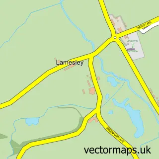
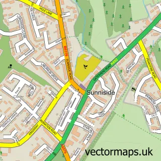
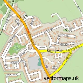
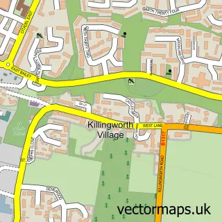
More street maps in Tyne & Wear
750 metre map area coverage
Boundary, postcode and point of interest information for the 750m x 750m rectangle centred on this sample map.
Boundaries containing map centre
Constituency: Newcastle upon Tyne Central and West Boro Const
District: Newcastle upon Tyne District (B)
Icb: NHS North East and North Cumbria ICB
Police Force: northumberland
Postcode District: NE1
Postcode Sector: NE1 5
Ward: Monument Ward
Nearby boundaries intersecting sample
Postcode Sector: NE1 1, NE1 2, NE1 4, NE1 6, NE1 7, NE1 8
Postcode coverage
POI category counts
Clothing Store: 95
Bar: 71
Beauty Salon: 54
Jewelry Store: 50
Employment Agencies: 48
Professional Services: 47
Coffee Shop: 44
Pub: 44
Restaurant: 44
Hair Salon: 40
Sample points of interest
- CGL Newcastle - Harm Reduction Service
- Hello Student Accommodation
- La Casa Loca
- Oxford House
- Plummer House
- Unite Students
- AIMS Accountants for Business
- Aberdein Considine
- Forvis Mazars
- Haines Watts
- Vertax Accountants
- Fit Club
Create a larger editable map of Newcastle upon Tyne
This sample shows only a 750 metre area. To create a larger map of Newcastle upon Tyne, use our map builder to choose your own coverage area, add titles and download editable SVG, PDF and PNG files.
Create a custom map of Newcastle upon Tyne