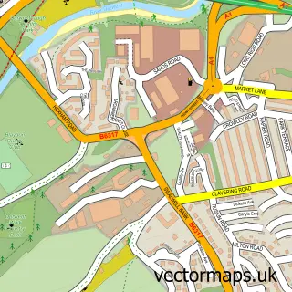
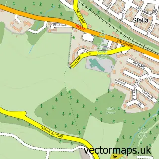
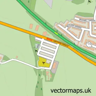
This Whickham street map is a detailed vector street map covering a 750m x 750m area. Select a larger area to create and download your own vector street map of Whickham.
The 750-metre map sample for Whickham covers 417 mapped buildings and approximately 20.8 km of road detail, of which 48 named roads are named. The immediate area includes 1 school, 1 GP surgery, with 8 within 2 miles, 7 pubs and 31 MOT stations within 2 miles. The wider area around Whickham features 1 tourism point of interest, 10 food and drink venues and 2 hotels. To create a larger or custom map of Whickham, the map builder lets you define your own coverage area and download editable SVG, PDF and PNG files.
Create a larger editable map of Whickham
Choose any area you need and generate a high-quality vector map instantly. Perfect for print, planning, design, business and personal use.

This Whickham street map in Tyne & Wear is available as downloadable SVG, PDF and PNG map files, or as a printed map for planning, business, display, education, local information and design work. You can also create a larger custom map area using the map selector.
What this Whickham map sample shows
Whickham lies within Gateshead District (B) parish, part of Whickham North ward in the Gateshead District (B) local authority area. The postcode geography for this area includes the NE postcode area, the NE16 postcode district and the NE16 4 postcode sector. Residents fall under the Nhs North East And North Cumbria Integrated Care Board for NHS services.
Local features near Whickham
Within 2 milesAmenities and services in and around Whickham.
Administrative and postcode information for Whickham
The local authority covering Whickham is Gateshead District (B), within the county of Tyne & Wear. The settlement lies within Whickham North ward and Gateshead District (B) civil parish. The NE16 postcode district and NE16 4 postcode sector serve the immediate area. NHS provision in the area is delivered through Gateshead Health Nhs Foundation Trust.
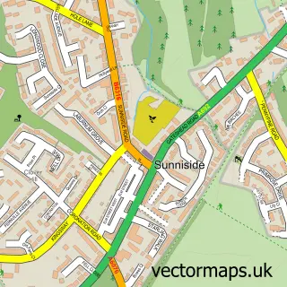
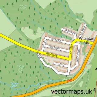
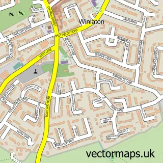
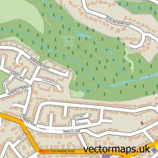
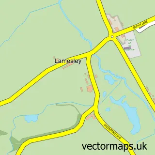
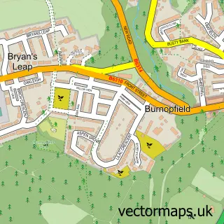
Nearby street map samples around Whickham

More street maps in Tyne & Wear
750 metre map area coverage
Boundary, postcode and point of interest information for the 750m x 750m rectangle centred on this sample map.
Boundaries containing map centre
Constituency: Gateshead Central and Whickham Boro Const
District: Gateshead District (B)
Icb: NHS North East and North Cumbria ICB
Police Force: northumberland
Postcode District: NE16
Postcode Sector: NE16 4
Ward: Whickham North Ward
Nearby boundaries intersecting sample
Ward: Dunston Hill and Whickham East Ward
Postcode coverage
POI category counts
Real Estate Agent: 8
Pub: 7
Beauty Salon: 5
Italian Restaurant: 5
Bakery: 4
Dentist: 4
Flowers And Gifts Shop: 4
Charity Organization: 3
Convenience Store: 3
Gas Station: 3
Sample points of interest
- B M Dodds
- Business Consultancy Services
- St Mary the Virgin
- Chapman Denture Solutions Limited
- Nicholson Nairn Architects
- St Mary's Centre
- St Mary's Centre
- Kato Pan Asian Cuisine - Whickham
- Keiro Ltd.
- Greggs
- Milligans
- Milligans Bakery
Create a larger editable map of Whickham
This sample shows only a 750 metre area. To create a larger map of Whickham, use our map builder to choose your own coverage area, add titles and download editable SVG, PDF and PNG files.
Create a custom map of Whickham