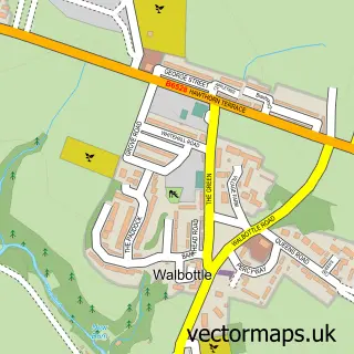
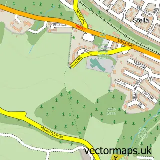
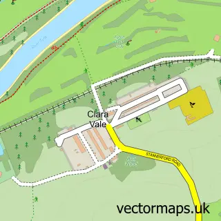
This Blucher street map is a detailed vector street map covering a 750m x 750m area. Select a larger area to create and download your own vector street map of Blucher.
The 750-metre map sample for Blucher covers 68 mapped buildings and approximately 10.2 km of road detail, of which 7 named roads are named. The immediate area includes 7 GP surgeries within 2 miles and 22 MOT stations within 2 miles. The wider area around Blucher features 1 tourism point of interest. To create a larger or custom map of Blucher, the map builder lets you define your own coverage area and download editable SVG, PDF and PNG files.
Create a larger editable map of Blucher
Choose any area you need and generate a high-quality vector map instantly. Perfect for print, planning, design, business and personal use.

This Blucher street map in Tyne & Wear is available as downloadable SVG, PDF and PNG map files, or as a printed map for planning, business, display, education, local information and design work. You can also create a larger custom map area using the map selector.
What this Blucher map sample shows
Blucher lies within Newcastle Upon Tyne District (B) parish, part of Callerton & Throckley ward in the Newcastle Upon Tyne District (B) local authority area. The postcode geography for this area includes the NE postcode area, the NE15 postcode district and the NE15 8 postcode sector. Residents fall under the Nhs North East And North Cumbria Integrated Care Board for NHS services.
Local features near Blucher
Within 2 milesAmenities and services in and around Blucher.
Administrative and postcode information for Blucher
Blucher lies within Newcastle Upon Tyne District (B) parish, part of Callerton & Throckley ward in the Newcastle Upon Tyne District (B) local authority area. The postcode geography for this area includes the NE postcode area, the NE15 postcode district and the NE15 8 postcode sector. Residents fall under the Nhs North East And North Cumbria Integrated Care Board for NHS services.
Nearby street map samples around Blucher

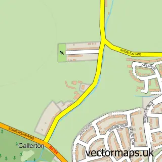
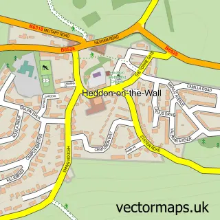
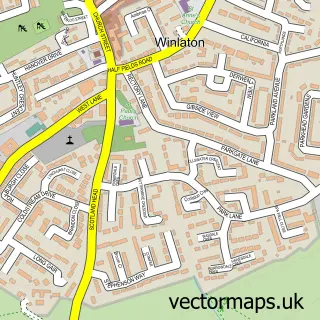
More street maps in Tyne & Wear
750 metre map area coverage
Boundary, postcode and point of interest information for the 750m x 750m rectangle centred on this sample map.
Boundaries containing map centre
Constituency: Newcastle upon Tyne Central and West Boro Const
District: Newcastle upon Tyne District (B)
Icb: NHS North East and North Cumbria ICB
Police Force: northumberland
Postcode District: NE15
Postcode Sector: NE15 9
Ward: Lemington Ward
Nearby boundaries intersecting sample
Constituency: Hexham Co Const
Postcode District: NE5
Postcode Sector: NE15 8, NE5 1
Ward: Callerton & Throckley Ward, Chapel Ward
Postcode coverage
POI category counts
Advertising Agency: 1
Beauty Salon: 1
Chinese Restaurant: 1
Church Cathedral: 1
Flowers And Gifts Shop: 1
Health And Medical: 1
Hvac Services: 1
Landscape Architect: 1
Park: 1
Plumbing: 1
Sample points of interest
- Yellow Tiger Design & Marketing
- Beautonic Beauty Salon and Spa
- New Mr. Lee
- Blucher Methodist Church
- Deco Trophies and Engraving
- Blucher Ambulance Station
- Lrb Plumbing & Heating
- MWA Arboriculture Ltd.
- Barbondale Park
- L R B Plumbing
- Keiths Coaches Ltd
- Blucher & District Social Club
Create a larger editable map of Blucher
This sample shows only a 750 metre area. To create a larger map of Blucher, use our map builder to choose your own coverage area, add titles and download editable SVG, PDF and PNG files.
Create a custom map of Blucher