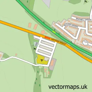
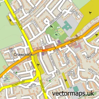
This Stella street map is a detailed vector street map covering a 750m x 750m area. Select a larger area to create and download your own vector street map of Stella.
The 750-metre map sample for Stella covers 162 mapped buildings and approximately 14.0 km of road detail, of which 23 named roads are named. The immediate area includes 1 school, 5 GP surgeries within 2 miles and 21 MOT stations within 2 miles. The wider area around Stella features 2 tourism points of interest and 2 food and drink venues. To create a larger or custom map of Stella, the map builder lets you define your own coverage area and download editable SVG, PDF and PNG files.
Create a larger editable map of Stella
Choose any area you need and generate a high-quality vector map instantly. Perfect for print, planning, design, business and personal use.

This Stella street map in Tyne & Wear is available as downloadable SVG, PDF and PNG map files, or as a printed map for planning, business, display, education, local information and design work. You can also create a larger custom map area using the map selector.
What this Stella map sample shows
Stella lies within Newcastle Upon Tyne District (B) parish, part of Callerton & Throckley ward in the Newcastle Upon Tyne District (B) local authority area. The postcode geography for this area includes the NE postcode area, the NE15 postcode district and the NE15 8 postcode sector. Residents fall under the Nhs North East And North Cumbria Integrated Care Board for NHS services.
Local features near Stella
Within 2 milesAmenities and services in and around Stella.
Administrative and postcode information for Stella
Stella lies within Newcastle Upon Tyne District (B) parish, part of Callerton & Throckley ward in the Newcastle Upon Tyne District (B) local authority area. The postcode geography for this area includes the NE postcode area, the NE15 postcode district and the NE15 8 postcode sector. Residents fall under the Nhs North East And North Cumbria Integrated Care Board for NHS services.
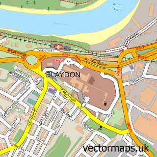
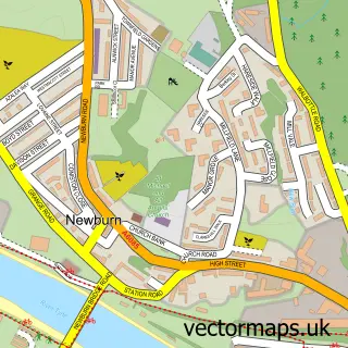
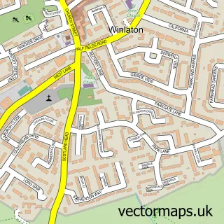
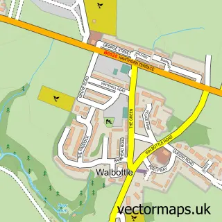
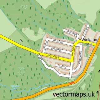
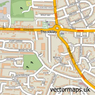
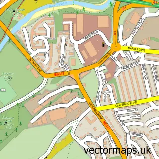
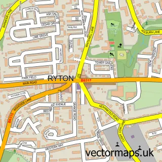
Nearby street map samples around Stella

More street maps in Tyne & Wear
750 metre map area coverage
Boundary, postcode and point of interest information for the 750m x 750m rectangle centred on this sample map.
Boundaries containing map centre
Constituency: Blaydon and Consett Co Const
District: Gateshead District (B)
Icb: NHS North East and North Cumbria ICB
Police Force: northumberland
Postcode District: NE21
Postcode Sector: NE21 4
Ward: Ryton, Crookhill and Stella Ward
Nearby boundaries intersecting sample
No additional intersecting boundaries found.
Postcode coverage
POI category counts
Bed And Breakfast: 2
Chinese Restaurant: 2
Landmark And Historical Building: 2
Photography Store And Services: 2
Advertising Agency: 1
Audiovisual Equipment Rental: 1
Automotive Repair: 1
Beauty And Spa: 1
Business Manufacturing And Supply: 1
Catholic Church: 1
Sample points of interest
- Sleeky Design
- Phaze Scaffolding
- J D Motors
- Riverside Beauty Cabin
- Hedgefield House
- Hedgefield House
- Budget Topsoil & Aggregates
- St Mary and St Thomas Aquinas RC Church
- Miji
- Miji Chinese Restaurant
- The Crossing Coffee Bar
- St Mary Thomas Aquinas Catholic Primary School
Create a larger editable map of Stella
This sample shows only a 750 metre area. To create a larger map of Stella, use our map builder to choose your own coverage area, add titles and download editable SVG, PDF and PNG files.
Create a custom map of Stella