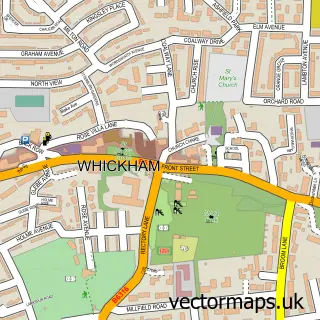
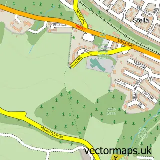
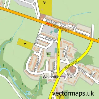
This Swalwell street map is a detailed vector street map covering a 750m x 750m area. Select a larger area to create and download your own vector street map of Swalwell.
The 750-metre map sample for Swalwell covers 258 mapped buildings and approximately 21.1 km of road detail, of which 38 named roads are named. The immediate area includes 7 GP surgeries within 2 miles, 3 pubs and 1 MOT station, with 30 within 2 miles. The wider area around Swalwell features 1 tourism point of interest and 8 food and drink venues. To create a larger or custom map of Swalwell, the map builder lets you define your own coverage area and download editable SVG, PDF and PNG files.
Create a larger editable map of Swalwell
Choose any area you need and generate a high-quality vector map instantly. Perfect for print, planning, design, business and personal use.

This Swalwell street map in Tyne & Wear is available as downloadable SVG, PDF and PNG map files, or as a printed map for planning, business, display, education, local information and design work. You can also create a larger custom map area using the map selector.
What this Swalwell map sample shows
Swalwell lies within Gateshead District (B) parish, part of Whickham North ward in the Gateshead District (B) local authority area. The postcode geography for this area includes the NE postcode area, the NE16 postcode district and the NE16 4 postcode sector. Residents fall under the Nhs North East And North Cumbria Integrated Care Board for NHS services.
Local features near Swalwell
Within 2 milesAmenities and services in and around Swalwell.
Administrative and postcode information for Swalwell
Swalwell lies within Gateshead District (B) parish, part of Whickham North ward in the Gateshead District (B) local authority area. The postcode geography for this area includes the NE postcode area, the NE16 postcode district and the NE16 4 postcode sector. Residents fall under the Nhs North East And North Cumbria Integrated Care Board for NHS services.
Nearby street map samples around Swalwell

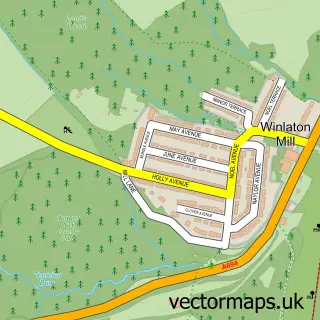
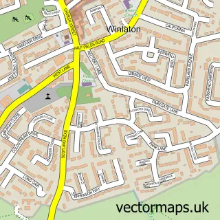
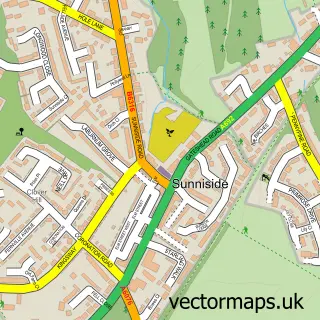
More street maps in Tyne & Wear
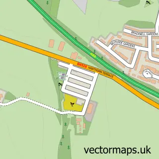
750 metre map area coverage
Boundary, postcode and point of interest information for the 750m x 750m rectangle centred on this sample map.
Boundaries containing map centre
Constituency: Gateshead Central and Whickham Boro Const
District: Gateshead District (B)
Icb: NHS North East and North Cumbria ICB
Police Force: northumberland
Postcode District: NE16
Postcode Sector: NE16 3
Ward: Whickham North Ward
Nearby boundaries intersecting sample
Constituency: Blaydon and Consett Co Const
Postcode District: NE21
Postcode Sector: NE16 5, NE21 5
Ward: Blaydon Ward
Postcode coverage
POI category counts
Convenience Store: 6
Gym: 5
Automotive Repair: 4
Car Dealer: 4
Barber: 3
Beauty And Spa: 3
Beauty Salon: 3
Building Supply Store: 3
Gas Station: 3
Package Locker: 3
Sample points of interest
- sunny Swalwell
- Tony Turner Accountants
- Knox-wilkin
- Holy Trinity Swalwell
- Spencer House
- PayPoint
- Penny Petroleum - Swalwell
- Robinsons Truck Bodyworks
- B&B barbers
- Tyre Fix
- Sports Car Supplies Ltd
- Derwenthaugh Motors
Create a larger editable map of Swalwell
This sample shows only a 750 metre area. To create a larger map of Swalwell, use our map builder to choose your own coverage area, add titles and download editable SVG, PDF and PNG files.
Create a custom map of Swalwell