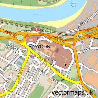
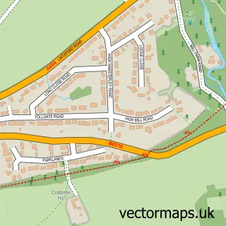
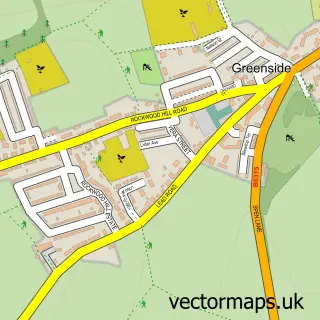
This Rowlands Gill street map is a detailed vector street map covering a 750m x 750m area. Select a larger area to create and download your own vector street map of Rowlands Gill.
The 750-metre map sample for Rowlands Gill covers 372 mapped buildings and approximately 14.5 km of road detail, of which 21 named roads are named. The immediate area includes 1 GP surgery within 2 miles and 3 MOT stations within 2 miles. The wider area around Rowlands Gill features 1 tourism point of interest. To create a larger or custom map of Rowlands Gill, the map builder lets you define your own coverage area and download editable SVG, PDF and PNG files.
Create a larger editable map of Rowlands Gill
Choose any area you need and generate a high-quality vector map instantly. Perfect for print, planning, design, business and personal use.

This Rowlands Gill street map in Tyne & Wear is available as downloadable SVG, PDF and PNG map files, or as a printed map for planning, business, display, education, local information and design work. You can also create a larger custom map area using the map selector.
What this Rowlands Gill map sample shows
Rowlands Gill lies within Gateshead District (B) parish, part of Chopwell And Rowlands Gill ward in the Gateshead District (B) local authority area. The postcode geography for this area includes the NE postcode area, the NE39 postcode district and the NE39 1 postcode sector. Residents fall under the Nhs North East And North Cumbria Integrated Care Board for NHS services.
Local features near Rowlands Gill
Within 2 milesAmenities and services in and around Rowlands Gill.
Administrative and postcode information for Rowlands Gill
The local authority covering Rowlands Gill is Gateshead District (B), within the county of Tyne & Wear. The settlement lies within Chopwell And Rowlands Gill ward and Gateshead District (B) civil parish. The NE39 postcode district and NE39 1 postcode sector serve the immediate area. NHS provision in the area is delivered through Gateshead Health Nhs Foundation Trust.
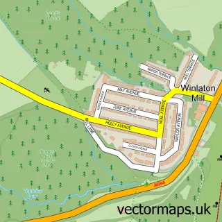
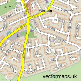
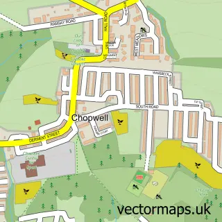
Nearby street map samples around Rowlands Gill

More street maps in Tyne & Wear
750 metre map area coverage
Boundary, postcode and point of interest information for the 750m x 750m rectangle centred on this sample map.
Boundaries containing map centre
Constituency: Blaydon and Consett Co Const
District: Gateshead District (B)
Icb: NHS North East and North Cumbria ICB
Police Force: northumberland
Postcode District: NE39
Postcode Sector: NE39 2
Ward: Chopwell and Rowlands Gill Ward
Nearby boundaries intersecting sample
Postcode Sector: NE39 1
Postcode coverage
POI category counts
Beauty Salon: 3
Church Cathedral: 2
Gym: 2
Italian Restaurant: 2
Retail: 2
Accommodation: 1
Anglican Church: 1
Asian Restaurant: 1
Astrologer: 1
Bakery: 1
Sample points of interest
- Rowlands Gill Sherburn Towers
- St Barnabas
- The Orient
- Ghost Hunters Northern Rescue Mediumship
- Kingys Cakes
- Ward's Inn
- MJ's Barbershop
- Bronzed and Polished
- Salon 84
- The Natural Beauty Clinic
- Happy Garden
- Churches of St Barnabas & St Patrick, Parish of High Spen & Rowlands Gill
Create a larger editable map of Rowlands Gill
This sample shows only a 750 metre area. To create a larger map of Rowlands Gill, use our map builder to choose your own coverage area, add titles and download editable SVG, PDF and PNG files.
Create a custom map of Rowlands Gill