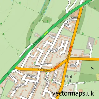
This Hobson street map is a detailed vector street map covering a 750m x 750m area. Select a larger area to create and download your own vector street map of Hobson.
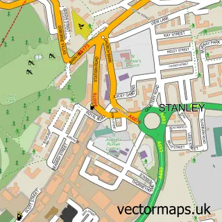
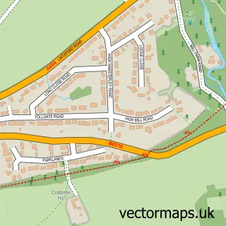
The 750-metre map sample for Hobson covers 87 mapped buildings and approximately 7.9 km of road detail, of which 4 named roads are named. The immediate area includes 1 GP surgery within 2 miles and 1 MOT station, with 3 within 2 miles. The wider area around Hobson features 1 hotel. To create a larger or custom map of Hobson, the map builder lets you define your own coverage area and download editable SVG, PDF and PNG files.
Create a larger editable map of Hobson
Choose any area you need and generate a high-quality vector map instantly. Perfect for print, planning, design, business and personal use.

This Hobson street map in Durham is available as downloadable SVG, PDF and PNG map files, or as a printed map for planning, business, display, education, local information and design work. You can also create a larger custom map area using the map selector.
What this Hobson map sample shows
Hobson lies within County Durham parish, part of Burnopfield And Dipton ward in the County Durham local authority area. The postcode geography for this area includes the NE postcode area, the NE16 postcode district and the NE16 6 postcode sector. Residents fall under the Nhs North East And North Cumbria Integrated Care Board for NHS services.
Local features near Hobson
Within 2 milesAmenities and services in and around Hobson.
Administrative and postcode information for Hobson
Hobson lies within County Durham parish, part of Burnopfield And Dipton ward in the County Durham local authority area. The postcode geography for this area includes the NE postcode area, the NE16 postcode district and the NE16 6 postcode sector. Residents fall under the Nhs North East And North Cumbria Integrated Care Board for NHS services.
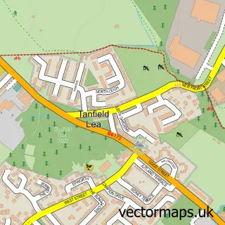
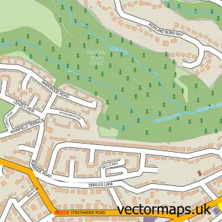
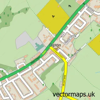
Nearby street map samples around Hobson

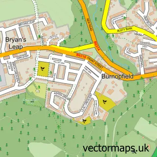
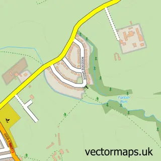
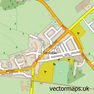
More street maps in Durham
750 metre map area coverage
Boundary, postcode and point of interest information for the 750m x 750m rectangle centred on this sample map.
Boundaries containing map centre
Constituency: Blaydon and Consett Co Const
District: County Durham
Icb: NHS North East and North Cumbria ICB
Police Force: durham
Postcode District: NE16
Postcode Sector: NE16 6
Nearby boundaries intersecting sample
No additional intersecting boundaries found.
Postcode coverage
POI category counts
Building Supply Store: 4
Automotive Repair: 3
Gym: 3
Retail: 3
Contractor: 2
Furniture Repair: 2
Metal Supplier: 2
Pharmaceutical Companies: 2
Pharmaceutical Products Wholesaler: 2
Professional Services: 2
Sample points of interest
- Cathedral Upholstery
- Hobson Test Centre
- Prime Auto Refinishing Ltd
- TR Automotive
- Furniture Clinic
- Beauty & Grace Salon & Spa
- 1st Fix Systems
- Theresa Spinks
- Travis Perkins
- Unique Transformations
- Select Carz
- The filling station
Create a larger editable map of Hobson
This sample shows only a 750 metre area. To create a larger map of Hobson, use our map builder to choose your own coverage area, add titles and download editable SVG, PDF and PNG files.
Create a custom map of Hobson