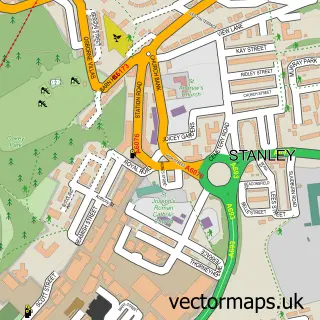
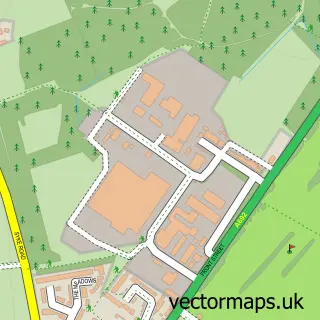
This Tantobie street map is a detailed vector street map covering a 750m x 750m area. Select a larger area to create and download your own vector street map of Tantobie.
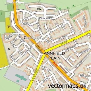
The 750-metre map sample for Tantobie covers 175 mapped buildings and approximately 13.0 km of road detail, of which 10 named roads are named. The immediate area includes 3 GP surgeries within 2 miles, 1 pub and 12 MOT stations within 2 miles. The wider area around Tantobie features 1 food and drink venue. To create a larger or custom map of Tantobie, the map builder lets you define your own coverage area and download editable SVG, PDF and PNG files.
Create a larger editable map of Tantobie
Choose any area you need and generate a high-quality vector map instantly. Perfect for print, planning, design, business and personal use.

This Tantobie street map in Durham is available as downloadable SVG, PDF and PNG map files, or as a printed map for planning, business, display, education, local information and design work. You can also create a larger custom map area using the map selector.
What this Tantobie map sample shows
Tantobie lies within Stanley Cp parish, part of Tanfield ward in the County Durham local authority area. The postcode geography for this area includes the DH postcode area, the DH9 postcode district and the DH9 9 postcode sector. Residents fall under the Nhs North East And North Cumbria Integrated Care Board for NHS services.
Local features near Tantobie
Within 2 milesAmenities and services in and around Tantobie.
Administrative and postcode information for Tantobie
Tantobie lies within Stanley Cp parish, part of Tanfield ward in the County Durham local authority area. The postcode geography for this area includes the DH postcode area, the DH9 postcode district and the DH9 9 postcode sector. Residents fall under the Nhs North East And North Cumbria Integrated Care Board for NHS services.
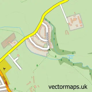
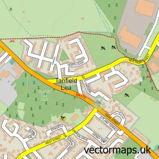
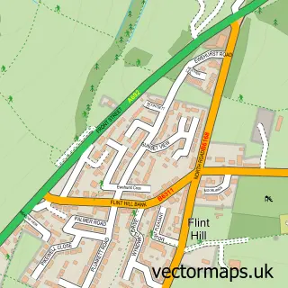
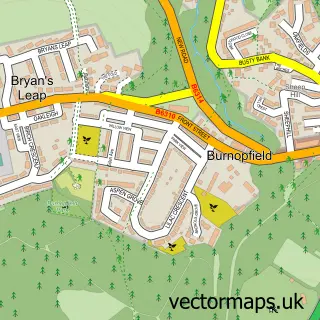
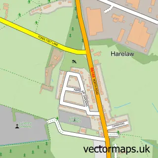
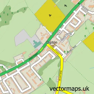
Nearby street map samples around Tantobie

More street maps in Durham
750 metre map area coverage
Boundary, postcode and point of interest information for the 750m x 750m rectangle centred on this sample map.
Boundaries containing map centre
Constituency: North Durham Co Const
District: County Durham
Icb: NHS North East and North Cumbria ICB
Parish: Stanley CP
Police Force: durham
Postcode District: DH9
Postcode Sector: DH9 9
Nearby boundaries intersecting sample
Constituency: Blaydon and Consett Co Const
Postcode District: NE16
Postcode Sector: NE16 6
Postcode coverage
POI category counts
Accommodation: 1
Automotive Repair: 1
Bakery: 1
Bar: 1
Beauty Salon: 1
Carpenter: 1
Church Cathedral: 1
Convenience Store: 1
Food Delivery Service: 1
Home Cleaning: 1
Sample points of interest
- Tantobie
- Hunters Auto Electrics
- The Olive Stone
- The Commercial
- Cutting Corner Unisex Hair Salon
- Taylor-Made Woodwork
- Beacon of Light Spiritualist Church
- Premier Tantobie Stores
- Evri ParcelShop
- Dusty
- Premier
- Tails & Trails North East
Create a larger editable map of Tantobie
This sample shows only a 750 metre area. To create a larger map of Tantobie, use our map builder to choose your own coverage area, add titles and download editable SVG, PDF and PNG files.
Create a custom map of Tantobie