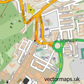
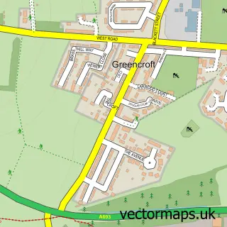
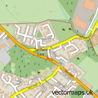
This Harelaw street map is a detailed vector street map covering a 750m x 750m area. Select a larger area to create and download your own vector street map of Harelaw.
The 750-metre map sample for Harelaw covers 124 mapped buildings and approximately 6.3 km of road detail, of which 4 named roads are named. The immediate area includes 3 GP surgeries within 2 miles and 10 MOT stations within 2 miles. The wider area around Harelaw features 1 food and drink venue. To create a larger or custom map of Harelaw, the map builder lets you define your own coverage area and download editable SVG, PDF and PNG files.
Create a larger editable map of Harelaw
Choose any area you need and generate a high-quality vector map instantly. Perfect for print, planning, design, business and personal use.

This Harelaw street map in Durham is available as downloadable SVG, PDF and PNG map files, or as a printed map for planning, business, display, education, local information and design work. You can also create a larger custom map area using the map selector.
What this Harelaw map sample shows
Harelaw lies within County Durham parish, part of Burnopfield And Dipton ward in the County Durham local authority area. The postcode geography for this area includes the DH postcode area, the DH9 postcode district and the DH9 9 postcode sector. Residents fall under the Nhs North East And North Cumbria Integrated Care Board for NHS services.
Local features near Harelaw
Within 2 milesAmenities and services in and around Harelaw.
Administrative and postcode information for Harelaw
The local authority covering Harelaw is County Durham, within the county of Durham. The settlement lies within Burnopfield And Dipton ward and County Durham civil parish. The DH9 postcode district and DH9 9 postcode sector serve the immediate area. NHS provision in the area is delivered through County Durham And Darlington Nhs Foundation Trust.
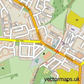
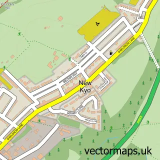
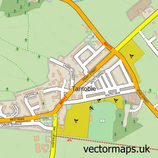
Nearby street map samples around Harelaw

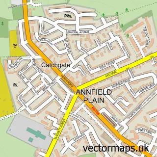
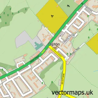
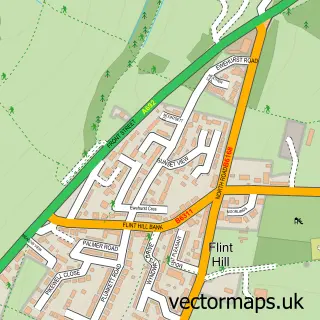
More street maps in Durham
750 metre map area coverage
Boundary, postcode and point of interest information for the 750m x 750m rectangle centred on this sample map.
Boundaries containing map centre
Constituency: North Durham Co Const
District: County Durham
Icb: NHS North East and North Cumbria ICB
Parish: Stanley CP
Police Force: durham
Postcode District: DH9
Postcode Sector: DH9 8
Nearby boundaries intersecting sample
Constituency: Blaydon and Consett Co Const
Postcode Sector: DH9 9
Postcode coverage
POI category counts
Church Cathedral: 2
Gym: 2
Professional Services: 2
Storage Facility: 2
Building Supply Store: 1
Clothing Rental: 1
Coffee Shop: 1
Electrical Wholesaler: 1
Farm: 1
Industrial Equipment: 1
Sample points of interest
- Stairparts Direct
- St Patricks Church
- St Thomas's Church
- FX Productions
- The Waiting Room
- Moss Express
- Carrmyers Farm
- Apex Ability Gym
- TKD Fit
- Harelaw Sawmill
- Fondleysett
- S.D Coatings northeast
Create a larger editable map of Harelaw
This sample shows only a 750 metre area. To create a larger map of Harelaw, use our map builder to choose your own coverage area, add titles and download editable SVG, PDF and PNG files.
Create a custom map of Harelaw