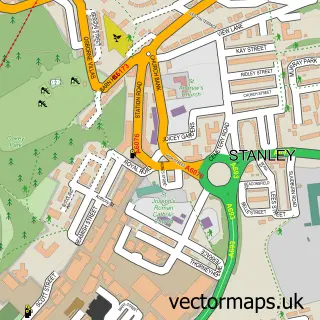
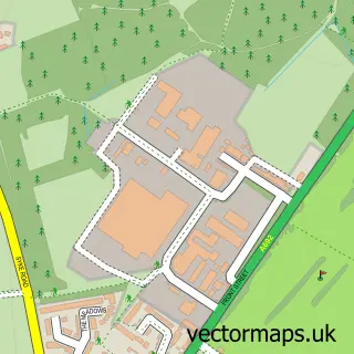
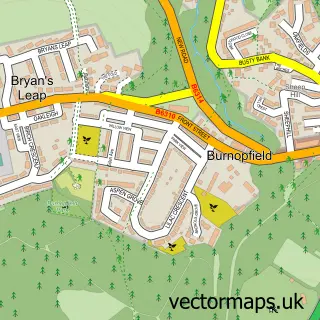
This Flint Hill street map is a detailed vector street map covering a 750m x 750m area. Select a larger area to create and download your own vector street map of Flint Hill.
The 750-metre map sample for Flint Hill covers 238 mapped buildings and approximately 13.6 km of road detail, of which 17 named roads are named. The immediate area includes 2 GP surgeries within 2 miles, 1 pub and 7 MOT stations within 2 miles. The wider area around Flint Hill features 1 food and drink venue. To create a larger or custom map of Flint Hill, the map builder lets you define your own coverage area and download editable SVG, PDF and PNG files.
Create a larger editable map of Flint Hill
Choose any area you need and generate a high-quality vector map instantly. Perfect for print, planning, design, business and personal use.

This Flint Hill street map in Durham is available as downloadable SVG, PDF and PNG map files, or as a printed map for planning, business, display, education, local information and design work. You can also create a larger custom map area using the map selector.
What this Flint Hill map sample shows
Flint Hill lies within Stanley Cp parish, part of Tanfield ward in the County Durham local authority area. The postcode geography for this area includes the DH postcode area, the DH9 postcode district and the DH9 9 postcode sector. Residents fall under the Nhs North East And North Cumbria Integrated Care Board for NHS services.
Local features near Flint Hill
Within 2 milesAmenities and services in and around Flint Hill.
Administrative and postcode information for Flint Hill
Flint Hill lies within Stanley Cp parish, part of Tanfield ward in the County Durham local authority area. The postcode geography for this area includes the DH postcode area, the DH9 postcode district and the DH9 9 postcode sector. Residents fall under the Nhs North East And North Cumbria Integrated Care Board for NHS services.
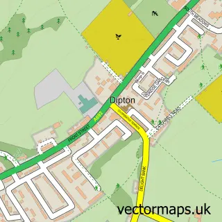
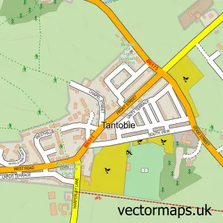
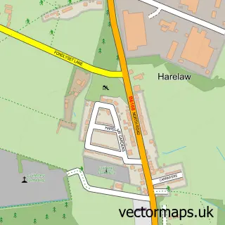
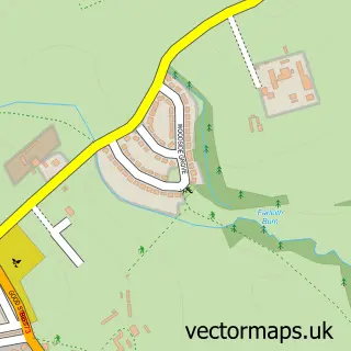
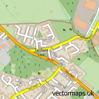
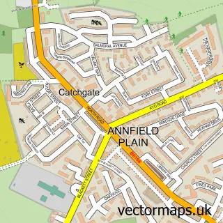
Nearby street map samples around Flint Hill

More street maps in Durham
750 metre map area coverage
Boundary, postcode and point of interest information for the 750m x 750m rectangle centred on this sample map.
Boundaries containing map centre
Constituency: Blaydon and Consett Co Const
District: County Durham
Icb: NHS North East and North Cumbria ICB
Police Force: durham
Postcode District: DH9
Postcode Sector: DH9 9
Nearby boundaries intersecting sample
Constituency: North Durham Co Const
Parish: Stanley CP
Postcode District: NE16
Postcode Sector: NE16 6
Postcode coverage
POI category counts
Automotive Repair: 1
Bar: 1
Building Supply Store: 1
Business Management Services: 1
Car Wash: 1
Chinese Restaurant: 1
Dog Walkers: 1
Electrician: 1
Elementary School: 1
Furniture Store: 1
Sample points of interest
- Mountsett Garage
- Premier Bar Hire
- Storage Systems
- Storage Systems Ltd.
- Ocean Car Wash (Hand Wash)
- Treasure Express
- Mutts Miles
- B L C Electricals
- St Patrick's Roman Catholic Voluntary Aided Primary School, Dipton
- Willow Burn Hospice Charity Shop Stanley
- Admiral Decorators
- SGI Consultancy Ltd
Create a larger editable map of Flint Hill
This sample shows only a 750 metre area. To create a larger map of Flint Hill, use our map builder to choose your own coverage area, add titles and download editable SVG, PDF and PNG files.
Create a custom map of Flint Hill