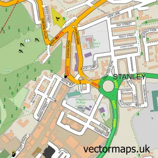
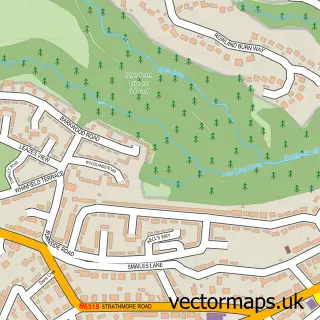
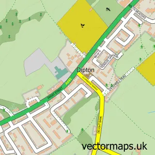
This Burnopfield street map is a detailed vector street map covering a 750m x 750m area. Select a larger area to create and download your own vector street map of Burnopfield.
The 750-metre map sample for Burnopfield covers 299 mapped buildings and approximately 15.3 km of road detail, of which 21 named roads are named. The immediate area includes 1 GP surgery within 2 miles, 2 pubs and 3 MOT stations within 2 miles. The wider area around Burnopfield features 6 food and drink venues. To create a larger or custom map of Burnopfield, the map builder lets you define your own coverage area and download editable SVG, PDF and PNG files.
Create a larger editable map of Burnopfield
Choose any area you need and generate a high-quality vector map instantly. Perfect for print, planning, design, business and personal use.

This Burnopfield street map in Durham is available as downloadable SVG, PDF and PNG map files, or as a printed map for planning, business, display, education, local information and design work. You can also create a larger custom map area using the map selector.
What this Burnopfield map sample shows
Burnopfield lies within County Durham parish, part of Burnopfield And Dipton ward in the County Durham local authority area. The postcode geography for this area includes the NE postcode area, the NE16 postcode district and the NE16 6 postcode sector. Residents fall under the Nhs North East And North Cumbria Integrated Care Board for NHS services.
Local features near Burnopfield
Within 2 milesAmenities and services in and around Burnopfield.
Administrative and postcode information for Burnopfield
The local authority covering Burnopfield is County Durham, within the county of Durham. The settlement lies within Burnopfield And Dipton ward and County Durham civil parish. The NE16 postcode district and NE16 6 postcode sector serve the immediate area. NHS provision in the area is delivered through County Durham And Darlington Nhs Foundation Trust.
Nearby street map samples around Burnopfield

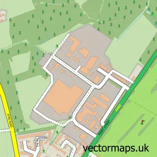
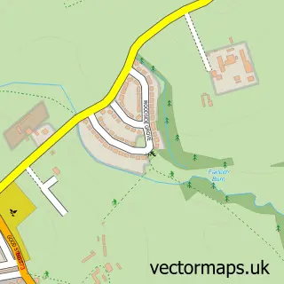
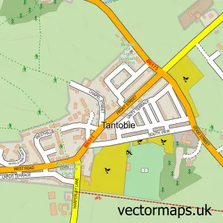
More street maps in Durham
750 metre map area coverage
Boundary, postcode and point of interest information for the 750m x 750m rectangle centred on this sample map.
Boundaries containing map centre
Constituency: Blaydon and Consett Co Const
District: County Durham
Icb: NHS North East and North Cumbria ICB
Police Force: durham
Postcode District: NE16
Postcode Sector: NE16 6
Nearby boundaries intersecting sample
Constituency: Gateshead Central and Whickham Boro Const
District: Gateshead District (B)
Police Force: northumberland
Ward: Whickham South and Sunniside Ward
Postcode coverage
POI category counts
Cafe: 3
Automotive Repair: 2
Business Management Services: 2
Carpet Cleaning: 2
Convenience Store: 2
Food Delivery Service: 2
Pub: 2
Real Estate Agent: 2
Alternative Medicine: 1
Auto Detailing: 1
Sample points of interest
- Your Relaxing Times
- Ocean hand car wash in burnopfield
- ATS Euromaster
- Winlaton Coach Works
- Home Bakery
- The Barber Shop
- House of Beauty
- Diamond Beauty
- Alan Fowler
- Adapt your home for life
- Ian Brown Design Ltd.
- Burger & Brew
Create a larger editable map of Burnopfield
This sample shows only a 750 metre area. To create a larger map of Burnopfield, use our map builder to choose your own coverage area, add titles and download editable SVG, PDF and PNG files.
Create a custom map of Burnopfield