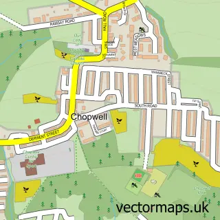
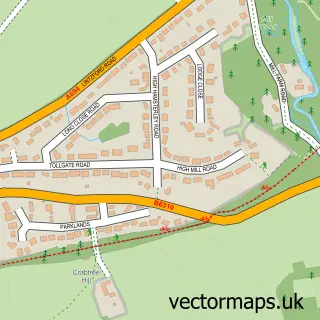
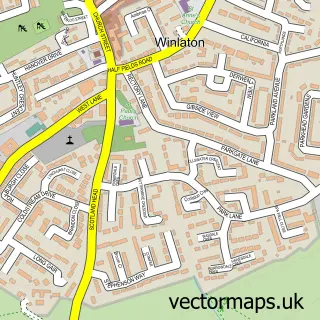
This High Spen street map is a detailed vector street map covering a 750m x 750m area. Select a larger area to create and download your own vector street map of High Spen.
The 750-metre map sample for High Spen covers 289 mapped buildings and approximately 16.2 km of road detail, of which 25 named roads are named. The immediate area includes 1 school, 1 GP surgery within 2 miles, 2 pubs and 3 MOT stations within 2 miles. The wider area around High Spen features 1 tourism point of interest and 2 food and drink venues. To create a larger or custom map of High Spen, the map builder lets you define your own coverage area and download editable SVG, PDF and PNG files.
Create a larger editable map of High Spen
Choose any area you need and generate a high-quality vector map instantly. Perfect for print, planning, design, business and personal use.

This High Spen street map in Tyne & Wear is available as downloadable SVG, PDF and PNG map files, or as a printed map for planning, business, display, education, local information and design work. You can also create a larger custom map area using the map selector.
What this High Spen map sample shows
High Spen lies within Gateshead District (B) parish, part of Winlaton And High Spen ward in the Gateshead District (B) local authority area. The postcode geography for this area includes the NE postcode area, the NE39 postcode district and the NE39 2 postcode sector. Residents fall under the Nhs North East And North Cumbria Integrated Care Board for NHS services.
Local features near High Spen
Within 2 milesAmenities and services in and around High Spen.
Administrative and postcode information for High Spen
High Spen lies within Gateshead District (B) parish, part of Winlaton And High Spen ward in the Gateshead District (B) local authority area. The postcode geography for this area includes the NE postcode area, the NE39 postcode district and the NE39 2 postcode sector. Residents fall under the Nhs North East And North Cumbria Integrated Care Board for NHS services.
Nearby street map samples around High Spen

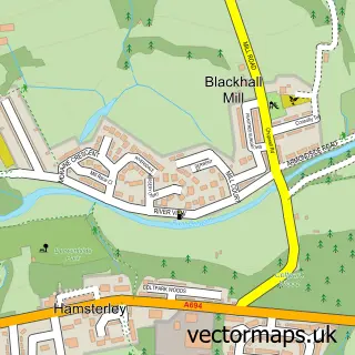
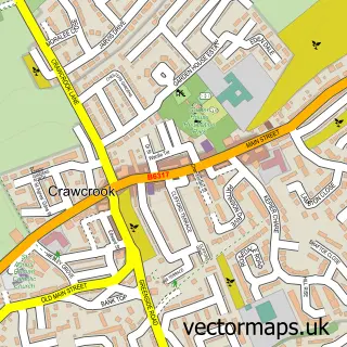
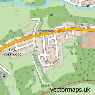
More street maps in Tyne & Wear
750 metre map area coverage
Boundary, postcode and point of interest information for the 750m x 750m rectangle centred on this sample map.
Boundaries containing map centre
Constituency: Blaydon and Consett Co Const
District: Gateshead District (B)
Icb: NHS North East and North Cumbria ICB
Police Force: northumberland
Postcode District: NE39
Postcode Sector: NE39 2
Ward: Winlaton and High Spen Ward
Nearby boundaries intersecting sample
No additional intersecting boundaries found.
Postcode coverage
POI category counts
Pub: 2
Beer Bar: 1
Brewery: 1
Builders: 1
Building Supply Store: 1
Butcher Shop: 1
Chinese Restaurant: 1
Contractor: 1
Cosmetic And Beauty Supplies: 1
Courier And Delivery Services: 1
Sample points of interest
- Wigs Place
- Spenside Stables Brewery
- Bradley Point - Avant Homes
- Landscape Outlook
- Field House Farm Butchers
- High Spen
- The Olde Potting Shed Co
- Handmade by Nature
- Evri ParcelShop
- Post Office-High Spen Mobile Service
- Board-Skim Plastering
- High Spen Primary School
Create a larger editable map of High Spen
This sample shows only a 750 metre area. To create a larger map of High Spen, use our map builder to choose your own coverage area, add titles and download editable SVG, PDF and PNG files.
Create a custom map of High Spen