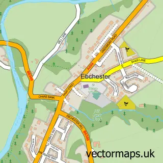
This Blackhall Mill street map is a detailed vector street map covering a 750m x 750m area. Select a larger area to create and download your own vector street map of Blackhall Mill.
The 750-metre map sample for Blackhall Mill covers 187 mapped buildings and approximately 12.0 km of road detail, of which 17 named roads are named. The immediate area includes 1 GP surgery, with 2 within 2 miles, 1 pub and 1 MOT station within 2 miles. The wider area around Blackhall Mill features 1 tourism point of interest and 1 food and drink venue. To create a larger or custom map of Blackhall Mill, the map builder lets you define your own coverage area and download editable SVG, PDF and PNG files.
Create a larger editable map of Blackhall Mill
Choose any area you need and generate a high-quality vector map instantly. Perfect for print, planning, design, business and personal use.

This Blackhall Mill street map in Tyne & Wear is available as downloadable SVG, PDF and PNG map files, or as a printed map for planning, business, display, education, local information and design work. You can also create a larger custom map area using the map selector.
What this Blackhall Mill map sample shows
Blackhall Mill lies within Gateshead District (B) parish, part of Chopwell And Rowlands Gill ward in the Gateshead District (B) local authority area. The postcode geography for this area includes the NE postcode area, the NE17 postcode district and the NE17 7 postcode sector. Residents fall under the Nhs North East And North Cumbria Integrated Care Board for NHS services.
Local features near Blackhall Mill
Within 2 milesAmenities and services in and around Blackhall Mill.
Administrative and postcode information for Blackhall Mill
Blackhall Mill lies within Gateshead District (B) parish, part of Chopwell And Rowlands Gill ward in the Gateshead District (B) local authority area. The postcode geography for this area includes the NE postcode area, the NE17 postcode district and the NE17 7 postcode sector. Residents fall under the Nhs North East And North Cumbria Integrated Care Board for NHS services.
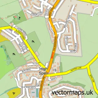
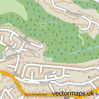
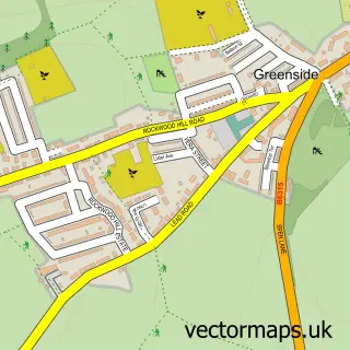
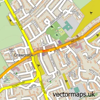
Nearby street map samples around Blackhall Mill

More street maps in Tyne & Wear
750 metre map area coverage
Boundary, postcode and point of interest information for the 750m x 750m rectangle centred on this sample map.
Boundaries containing map centre
Constituency: Blaydon and Consett Co Const
District: Gateshead District (B)
Icb: NHS North East and North Cumbria ICB
Police Force: northumberland
Postcode District: NE17
Postcode Sector: NE17 7
Ward: Chopwell and Rowlands Gill Ward
Nearby boundaries intersecting sample
Constituency: Hexham Co Const
District: County Durham, Northumberland
Parish: Hedley CP
Police Force: durham
Postcode coverage
POI category counts
Flowers And Gifts Shop: 2
Alternative Medicine: 1
Architectural Designer: 1
Arts And Crafts: 1
Arts And Entertainment: 1
Attractions And Activities: 1
Bakery: 1
Beauty And Spa: 1
Building Supply Store: 1
Burger Restaurant: 1
Sample points of interest
- D Cleary Shiatsu
- Dane Architectural Systems
- North Star Yarns
- North East Socialist Singers N E S S
- Kjs landscapes
- Riverview Bakery
- Bronzed & Polished
- Tony Walton Tiling Service
- Flipped Burger Co
- Mega-City Five
- Fat Quarters
- Dessert Heaven
Create a larger editable map of Blackhall Mill
This sample shows only a 750 metre area. To create a larger map of Blackhall Mill, use our map builder to choose your own coverage area, add titles and download editable SVG, PDF and PNG files.
Create a custom map of Blackhall Mill