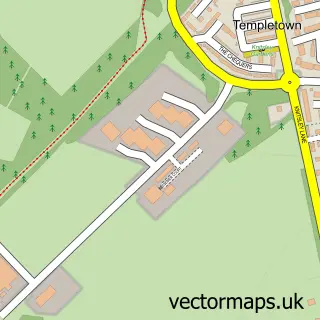
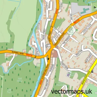
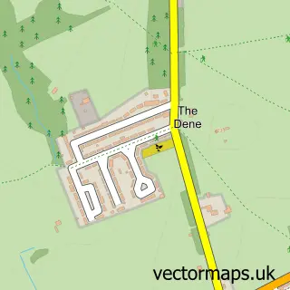
This Consett street map is a detailed vector street map covering a 750m x 750m area. Select a larger area to create and download your own vector street map of Consett.
The 750-metre map sample for Consett covers 299 mapped buildings and approximately 33.0 km of road detail, of which 86 named roads are named. The immediate area includes 4 schools, 1 GP surgery, with 3 within 2 miles, 15 pubs and 3 MOT stations, with 13 within 2 miles. The wider area around Consett features 2 tourism points of interest, 31 food and drink venues and 1 hotel. To create a larger or custom map of Consett, the map builder lets you define your own coverage area and download editable SVG, PDF and PNG files.
Create a larger editable map of Consett
Choose any area you need and generate a high-quality vector map instantly. Perfect for print, planning, design, business and personal use.

This Consett street map in Durham is available as downloadable SVG, PDF and PNG map files, or as a printed map for planning, business, display, education, local information and design work. You can also create a larger custom map area using the map selector.
What this Consett map sample shows
Consett lies within County Durham parish, part of Consett North ward in the County Durham local authority area. The postcode geography for this area includes the DH postcode area, the DH8 postcode district and the DH8 5 postcode sector. Residents fall under the Nhs North East And North Cumbria Integrated Care Board for NHS services.
Local features near Consett
Within 2 milesAmenities and services in and around Consett.
Administrative and postcode information for Consett
Consett lies within County Durham parish, part of Consett North ward in the County Durham local authority area. The postcode geography for this area includes the DH postcode area, the DH8 postcode district and the DH8 5 postcode sector. Residents fall under the Nhs North East And North Cumbria Integrated Care Board for NHS services.
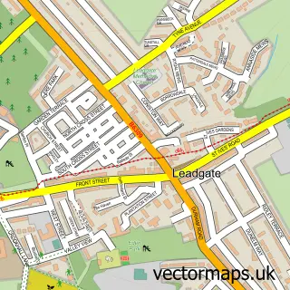
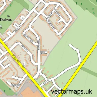
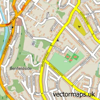
Nearby street map samples around Consett

More street maps in Durham
750 metre map area coverage
Boundary, postcode and point of interest information for the 750m x 750m rectangle centred on this sample map.
Boundaries containing map centre
Constituency: Blaydon and Consett Co Const
District: County Durham
Icb: NHS North East and North Cumbria ICB
Police Force: durham
Postcode District: DH8
Postcode Sector: DH8 5
Nearby boundaries intersecting sample
Postcode Sector: DH8 6, DH8 7
Postcode coverage
POI category counts
Beauty Salon: 21
Hair Salon: 17
Pub: 15
Professional Services: 14
Bar: 12
Charity Organization: 11
Gym: 11
Barber: 10
Fast Food Restaurant: 9
Flowers And Gifts Shop: 9
Sample points of interest
- McManus Hall Chartered Accountants
- Westwood Accountancy Ltd
- Hillside Saddlery
- YogaPupz Durham Central & Stanley
- The Community Drug & Alcohol Recovery Service
- Connexions
- Christ Church, Consett
- British Red Cross
- Nobles Amusments
- Jula Crafts Ltd
- The 70's Simply 70's
- The Glo House
Create a larger editable map of Consett
This sample shows only a 750 metre area. To create a larger map of Consett, use our map builder to choose your own coverage area, add titles and download editable SVG, PDF and PNG files.
Create a custom map of Consett