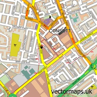
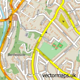
This Templetown street map is a detailed vector street map covering a 750m x 750m area. Select a larger area to create and download your own vector street map of Templetown.
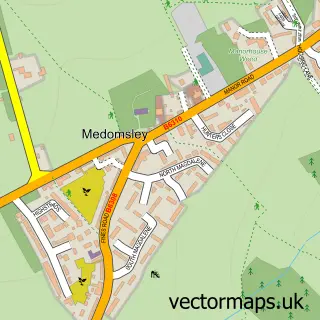
The 750-metre map sample for Templetown covers 82 mapped buildings and approximately 9.3 km of road detail, of which 8 named roads are named. The immediate area includes 3 GP surgeries within 2 miles and 11 MOT stations within 2 miles. To create a larger or custom map of Templetown, the map builder lets you define your own coverage area and download editable SVG, PDF and PNG files.
Create a larger editable map of Templetown
Choose any area you need and generate a high-quality vector map instantly. Perfect for print, planning, design, business and personal use.

This Templetown street map in Durham is available as downloadable SVG, PDF and PNG map files, or as a printed map for planning, business, display, education, local information and design work. You can also create a larger custom map area using the map selector.
What this Templetown map sample shows
Templetown lies within Healeyfield Cp parish, part of Lanchester ward in the County Durham local authority area. The postcode geography for this area includes the DH postcode area, the DH8 postcode district and the DH8 9 postcode sector. Residents fall under the Nhs North East And North Cumbria Integrated Care Board for NHS services.
Local features near Templetown
Within 2 milesAmenities and services in and around Templetown.
Administrative and postcode information for Templetown
The local authority covering Templetown is County Durham, within the county of Durham. The settlement lies within Lanchester ward and Healeyfield Cp civil parish. The DH8 postcode district and DH8 9 postcode sector serve the immediate area. NHS provision in the area is delivered through County Durham And Darlington Nhs Foundation Trust.
Nearby street map samples around Templetown

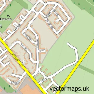
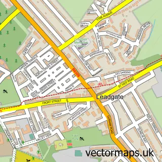
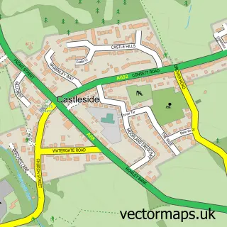
More street maps in Durham
750 metre map area coverage
Boundary, postcode and point of interest information for the 750m x 750m rectangle centred on this sample map.
Boundaries containing map centre
Constituency: Blaydon and Consett Co Const
District: County Durham
Icb: NHS North East and North Cumbria ICB
Police Force: durham
Postcode District: DH8
Postcode Sector: DH8 7
Nearby boundaries intersecting sample
Postcode Sector: DH8 8
Postcode coverage
POI category counts
Building Supply Store: 3
Monument: 2
Automotive Repair: 1
Beauty Salon: 1
Business Manufacturing And Supply: 1
Business To Business: 1
Car Dealer: 1
Driving School: 1
Food Beverage Service Distribution: 1
Grocery Store: 1
Sample points of interest
- Consett Towbars
- C&G Health and Beauty
- Geodrill
- J.T. Dove
- JT Dove Ltd.
- Symington's Consett
- Greencore Consett
- Consett Towbars
- Phil Smith School of Motoring
- Greencore Convenience Foods
- Greencore Prepared Meals
- Rand Rocket Ltd
Create a larger editable map of Templetown
This sample shows only a 750 metre area. To create a larger map of Templetown, use our map builder to choose your own coverage area, add titles and download editable SVG, PDF and PNG files.
Create a custom map of Templetown