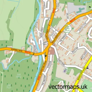
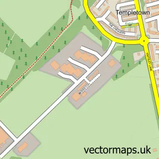
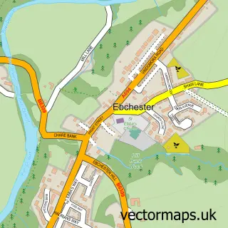
This Mosswood street map is a detailed vector street map covering a 750m x 750m area. Select a larger area to create and download your own vector street map of Mosswood.
The 750-metre map sample for Mosswood covers 15 mapped buildings and approximately 5.9 km of road detail, of which 2 named roads are named. The immediate area includes 1 MOT station within 2 miles. To create a larger or custom map of Mosswood, the map builder lets you define your own coverage area and download editable SVG, PDF and PNG files.
Create a larger editable map of Mosswood
Choose any area you need and generate a high-quality vector map instantly. Perfect for print, planning, design, business and personal use.

This Mosswood street map in Northumberland is available as downloadable SVG, PDF and PNG map files, or as a printed map for planning, business, display, education, local information and design work. You can also create a larger custom map area using the map selector.
What this Mosswood map sample shows
Mosswood lies within County Durham parish, part of Consett South ward in the County Durham local authority area. The postcode geography for this area includes the DH postcode area, the DH8 postcode district and the DH8 9 postcode sector. Residents fall under the Nhs North East And North Cumbria Integrated Care Board for NHS services.
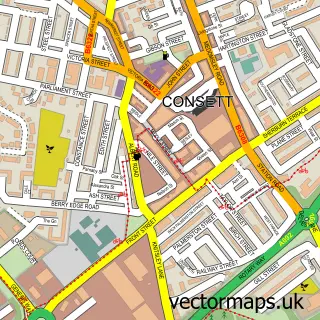
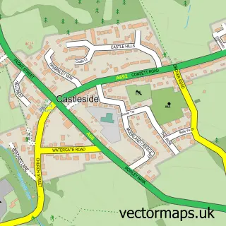
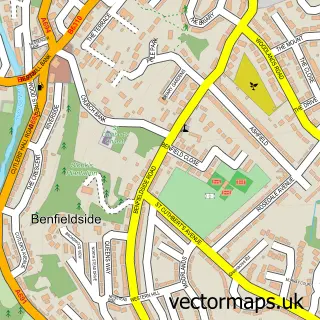
Local features near Mosswood
Within 2 milesAmenities and services in and around Mosswood.
Administrative and postcode information for Mosswood
The local authority covering Mosswood is County Durham, within the county of Northumberland. The settlement lies within Consett South ward and County Durham civil parish. The DH8 postcode district and DH8 9 postcode sector serve the immediate area. NHS provision in the area is delivered through County Durham And Darlington Nhs Foundation Trust.
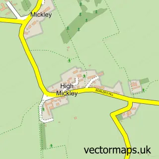
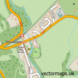
Nearby street map samples around Mosswood

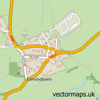
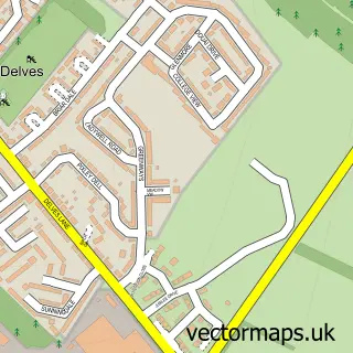
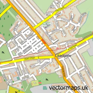
More street maps in Northumberland
750 metre map area coverage
Boundary, postcode and point of interest information for the 750m x 750m rectangle centred on this sample map.
Boundaries containing map centre
Constituency: Hexham Co Const
District: Northumberland
Icb: NHS North East and North Cumbria ICB
Parish: Shotley Low Quarter CP
Police Force: northumberland
Postcode District: DH8
Postcode Sector: DH8 9
Nearby boundaries intersecting sample
No additional intersecting boundaries found.
Postcode coverage
POI category counts
River: 1
Sample points of interest
- Allensford River
Create a larger editable map of Mosswood
This sample shows only a 750 metre area. To create a larger map of Mosswood, use our map builder to choose your own coverage area, add titles and download editable SVG, PDF and PNG files.
Create a custom map of Mosswood