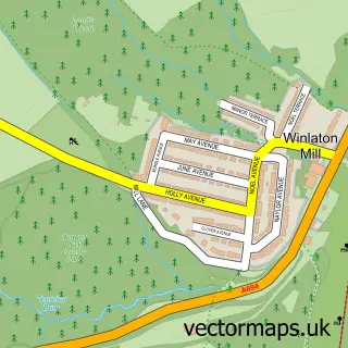
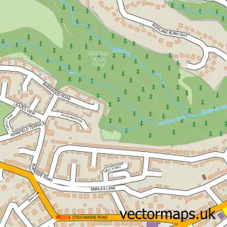
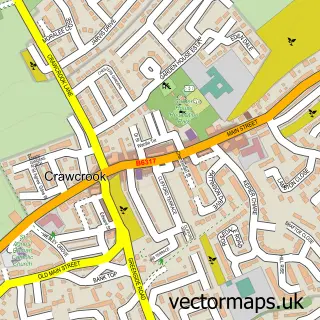
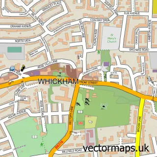
This Winlaton street map is a detailed vector street map covering a 750m x 750m area. Select a larger area to create and download your own vector street map of Winlaton.
The 750-metre map sample for Winlaton covers 468 mapped buildings and approximately 18.4 km of road detail, of which 46 named roads are named. The immediate area includes 1 school, 4 GP surgeries within 2 miles, 4 pubs and 1 MOT station, with 20 within 2 miles. The wider area around Winlaton features 4 food and drink venues. To create a larger or custom map of Winlaton, the map builder lets you define your own coverage area and download editable SVG, PDF and PNG files.
Create a larger editable map of Winlaton
Choose any area you need and generate a high-quality vector map instantly. Perfect for print, planning, design, business and personal use.

This Winlaton street map in Tyne & Wear is available as downloadable SVG, PDF and PNG map files, or as a printed map for planning, business, display, education, local information and design work. You can also create a larger custom map area using the map selector.
What this Winlaton map sample shows
Winlaton lies within Gateshead District (B) parish, part of Blaydon ward in the Gateshead District (B) local authority area. The postcode geography for this area includes the NE postcode area, the NE21 postcode district and the NE21 5 postcode sector. Residents fall under the Nhs North East And North Cumbria Integrated Care Board for NHS services.
Local features near Winlaton
Within 2 milesAmenities and services in and around Winlaton.
Administrative and postcode information for Winlaton
The local authority covering Winlaton is Gateshead District (B), within the county of Tyne & Wear. The settlement lies within Blaydon ward and Gateshead District (B) civil parish. The NE21 postcode district and NE21 5 postcode sector serve the immediate area. NHS provision in the area is delivered through Gateshead Health Nhs Foundation Trust.
Nearby street map samples around Winlaton

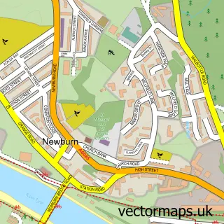
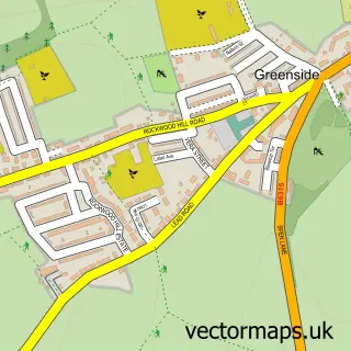
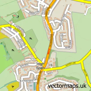
More street maps in Tyne & Wear
750 metre map area coverage
Boundary, postcode and point of interest information for the 750m x 750m rectangle centred on this sample map.
Boundaries containing map centre
Constituency: Blaydon and Consett Co Const
District: Gateshead District (B)
Icb: NHS North East and North Cumbria ICB
Police Force: northumberland
Postcode District: NE21
Postcode Sector: NE21 6
Ward: Winlaton and High Spen Ward
Nearby boundaries intersecting sample
Postcode Sector: NE21 5
Ward: Blaydon Ward
Postcode coverage
POI category counts
Pub: 4
Automotive Repair: 3
Bakery: 2
Convenience Store: 2
Home Service: 2
Anglican Church: 1
Atms: 1
Barber: 1
Building Supply Store: 1
Charity Organization: 1
Sample points of interest
- St Paul's
- ATM (Post Office)
- PDS Leisure And Auto
- TCR Top Car Repair Garage
- Winlaton Garage
- Ivory Cake Company
- Sweet Petite
- Church Street Barbers
- Caledonian Roofline & Windows
- The Winlaton Centre
- East Ocean
- St Paul's Church, Winlaton
Create a larger editable map of Winlaton
This sample shows only a 750 metre area. To create a larger map of Winlaton, use our map builder to choose your own coverage area, add titles and download editable SVG, PDF and PNG files.
Create a custom map of Winlaton