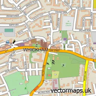
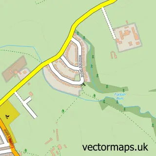
This Sunniside street map is a detailed vector street map covering a 750m x 750m area. Select a larger area to create and download your own vector street map of Sunniside.
The 750-metre map sample for Sunniside covers 438 mapped buildings and approximately 16.2 km of road detail, of which 35 named roads are named. The immediate area includes 1 GP surgery, with 2 within 2 miles, 3 pubs and 2 MOT stations, with 4 within 2 miles. The wider area around Sunniside features 1 tourism point of interest and 5 food and drink venues. To create a larger or custom map of Sunniside, the map builder lets you define your own coverage area and download editable SVG, PDF and PNG files.
Create a larger editable map of Sunniside
Choose any area you need and generate a high-quality vector map instantly. Perfect for print, planning, design, business and personal use.

This Sunniside street map in Tyne & Wear is available as downloadable SVG, PDF and PNG map files, or as a printed map for planning, business, display, education, local information and design work. You can also create a larger custom map area using the map selector.
What this Sunniside map sample shows
Sunniside lies within Gateshead District (B) parish, part of Whickham South And Sunniside ward in the Gateshead District (B) local authority area. The postcode geography for this area includes the NE postcode area, the NE16 postcode district and the NE16 5 postcode sector. Residents fall under the Nhs North East And North Cumbria Integrated Care Board for NHS services.
Local features near Sunniside
Within 2 milesAmenities and services in and around Sunniside.
Administrative and postcode information for Sunniside
Sunniside lies within Gateshead District (B) parish, part of Whickham South And Sunniside ward in the Gateshead District (B) local authority area. The postcode geography for this area includes the NE postcode area, the NE16 postcode district and the NE16 5 postcode sector. Residents fall under the Nhs North East And North Cumbria Integrated Care Board for NHS services.
Nearby street map samples around Sunniside

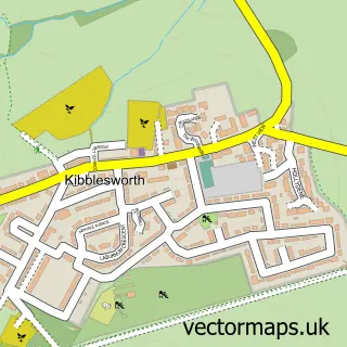
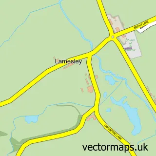
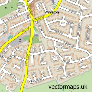
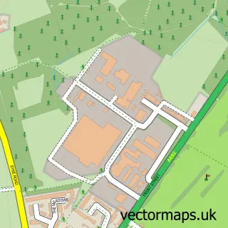
More street maps in Tyne & Wear
750 metre map area coverage
Boundary, postcode and point of interest information for the 750m x 750m rectangle centred on this sample map.
Boundaries containing map centre
Constituency: Gateshead Central and Whickham Boro Const
District: Gateshead District (B)
Icb: NHS North East and North Cumbria ICB
Police Force: northumberland
Postcode District: NE16
Postcode Sector: NE16 5
Ward: Whickham South and Sunniside Ward
Nearby boundaries intersecting sample
Constituency: Washington and Gateshead South Boro Const
Parish: Lamesley CP
Ward: Lamesley Ward
Postcode coverage
POI category counts
Beauty Salon: 10
Pub: 3
Barber: 2
Beauty And Spa: 2
Church Cathedral: 2
Italian Restaurant: 2
Korean Grocery Store: 2
Physical Therapy: 2
Shoe Store: 2
Asian Restaurant: 1
Sample points of interest
- Kato
- 14 Coronation Road Care Home
- The Cooperative Food (BF) Sunniside, Sunniside
- ASP Body and Paint
- Gavin Reed Ltd.
- Benito Brow Bar
- Marmaris Barbers
- The Head Shed
- Good Vibe Tribe - Gender Neutral Barbering
- KS Aesthetics & Beauty
- Belle Naturelle
- Clinic 12
Create a larger editable map of Sunniside
This sample shows only a 750 metre area. To create a larger map of Sunniside, use our map builder to choose your own coverage area, add titles and download editable SVG, PDF and PNG files.
Create a custom map of Sunniside