This Kibblesworth street map is a detailed vector street map covering a 750m x 750m area. Select a larger area to create and download your own vector street map of Kibblesworth.
The 750-metre map sample for Kibblesworth covers 230 mapped buildings and approximately 13.8 km of road detail, of which 9 named roads are named. The immediate area includes 1 school, 1 GP surgery within 2 miles, 3 pubs and 8 MOT stations within 2 miles. The wider area around Kibblesworth features 1 tourism point of interest and 3 food and drink venues. To create a larger or custom map of Kibblesworth, the map builder lets you define your own coverage area and download editable SVG, PDF and PNG files.
Create a larger editable map of Kibblesworth
Choose any area you need and generate a high-quality vector map instantly. Perfect for print, planning, design, business and personal use.

This Kibblesworth street map in Tyne & Wear is available as downloadable SVG, PDF and PNG map files, or as a printed map for planning, business, display, education, local information and design work. You can also create a larger custom map area using the map selector.
What this Kibblesworth map sample shows
Kibblesworth lies within Lamesley Cp parish, part of Lamesley ward in the Gateshead District (B) local authority area. The postcode geography for this area includes the NE postcode area, the NE11 postcode district and the NE11 0 postcode sector. Residents fall under the Nhs North East And North Cumbria Integrated Care Board for NHS services.
Local features near Kibblesworth
Within 2 milesAmenities and services in and around Kibblesworth.
Administrative and postcode information for Kibblesworth
The local authority covering Kibblesworth is Gateshead District (B), within the county of Tyne & Wear. The settlement lies within Lamesley ward and Lamesley Cp civil parish. The NE11 postcode district and NE11 0 postcode sector serve the immediate area. NHS provision in the area is delivered through Gateshead Health Nhs Foundation Trust.
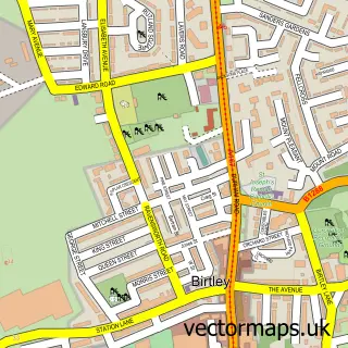
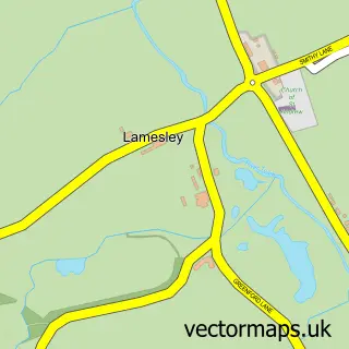
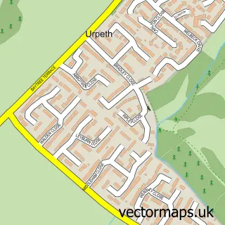
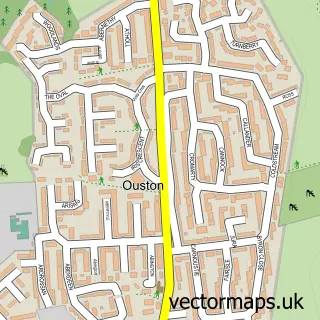
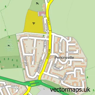
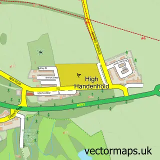
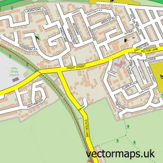
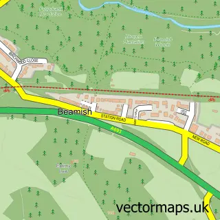
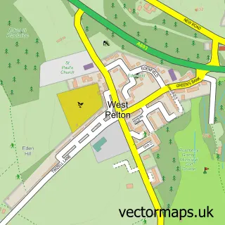
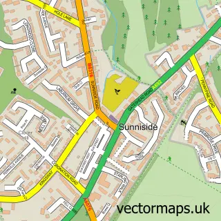
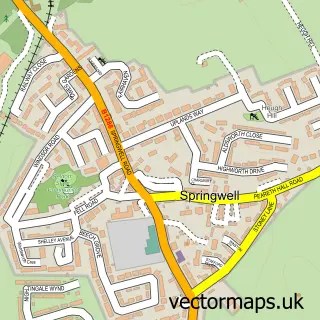
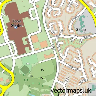
Nearby street map samples around Kibblesworth

More street maps in Tyne & Wear
750 metre map area coverage
Boundary, postcode and point of interest information for the 750m x 750m rectangle centred on this sample map.
Boundaries containing map centre
Constituency: Washington and Gateshead South Boro Const
District: Gateshead District (B)
Icb: NHS North East and North Cumbria ICB
Parish: Lamesley CP
Police Force: northumberland
Postcode District: NE11
Postcode Sector: NE11 0
Ward: Lamesley Ward
Nearby boundaries intersecting sample
No additional intersecting boundaries found.
Postcode coverage
POI category counts
Pub: 3
Convenience Store: 2
Aquatic Pet Store: 1
Assisted Living Facility: 1
Bakery: 1
Bar: 1
Beauty And Spa: 1
Beauty Salon: 1
Bus Service: 1
Business Consulting: 1
Sample points of interest
- Angel Koi & Aquatics
- Stonecroft Care Home
- Wheatsheaf
- Costa del Kibby
- Hair by sophie
- Village Beauty & Aesthetics by Jill Nicholson
- Altona Coaches
- RSV Management Services
- D C Joinery Services Ltd
- Kibblesworth Methodist Church
- Kibblesworth Village Millennium Centre
- Renu Group Ltd
Create a larger editable map of Kibblesworth
This sample shows only a 750 metre area. To create a larger map of Kibblesworth, use our map builder to choose your own coverage area, add titles and download editable SVG, PDF and PNG files.
Create a custom map of Kibblesworth