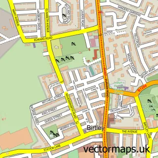
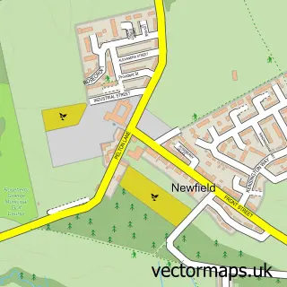
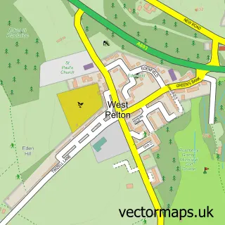
This Perkinsville street map is a detailed vector street map covering a 750m x 750m area. Select a larger area to create and download your own vector street map of Perkinsville.
The 750-metre map sample for Perkinsville covers 198 mapped buildings and approximately 16.1 km of road detail, of which 15 named roads are named. The immediate area includes 1 school, 6 GP surgeries within 2 miles and 11 MOT stations within 2 miles. To create a larger or custom map of Perkinsville, the map builder lets you define your own coverage area and download editable SVG, PDF and PNG files.
Create a larger editable map of Perkinsville
Choose any area you need and generate a high-quality vector map instantly. Perfect for print, planning, design, business and personal use.

This Perkinsville street map in Durham is available as downloadable SVG, PDF and PNG map files, or as a printed map for planning, business, display, education, local information and design work. You can also create a larger custom map area using the map selector.
What this Perkinsville map sample shows
Perkinsville lies within Ouston Cp parish, part of Pelton ward in the County Durham local authority area. The postcode geography for this area includes the DH postcode area, the DH2 postcode district and the DH2 1 postcode sector. Residents fall under the Nhs North East And North Cumbria Integrated Care Board for NHS services.
Local features near Perkinsville
Within 2 milesAmenities and services in and around Perkinsville.
Administrative and postcode information for Perkinsville
The local authority covering Perkinsville is County Durham, within the county of Durham. The settlement lies within Pelton ward and Ouston Cp civil parish. The DH2 postcode district and DH2 1 postcode sector serve the immediate area. NHS provision in the area is delivered through County Durham And Darlington Nhs Foundation Trust.
Nearby street map samples around Perkinsville

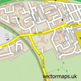
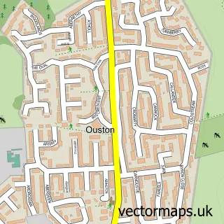
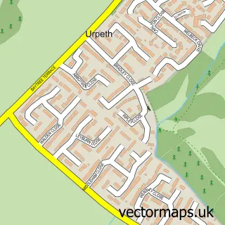
More street maps in Durham
750 metre map area coverage
Boundary, postcode and point of interest information for the 750m x 750m rectangle centred on this sample map.
Boundaries containing map centre
Constituency: North Durham Co Const
District: County Durham
Icb: NHS North East and North Cumbria ICB
Parish: Pelton CP
Police Force: durham
Postcode District: DH2
Postcode Sector: DH2 1
Nearby boundaries intersecting sample
Parish: North Lodge CP, Ouston CP, Urpeth CP
Postcode coverage
POI category counts
Building Supply Store: 3
Convenience Store: 3
Beauty Salon: 2
Doctor: 2
Professional Services: 2
Assisted Living Facility: 1
Auto Body Shop: 1
Bar: 1
Child Care And Day Care: 1
Elementary School: 1
Sample points of interest
- Lindisfarne Care Home
- ChipsAway Durham (Andrew Hare)
- Ouston Social Club - The Ranch
- Antidote Hair & Beauty Salon
- Headlines Unisex Salon Ouston
- Fred Salvage
- Mark Talbot Carpentry
- SRP Glazing Services
- Buttercup Nurseries
- Ouston Services - Penny on the Move
- Premier
- Premier Perkinsville Superstore
Create a larger editable map of Perkinsville
This sample shows only a 750 metre area. To create a larger map of Perkinsville, use our map builder to choose your own coverage area, add titles and download editable SVG, PDF and PNG files.
Create a custom map of Perkinsville