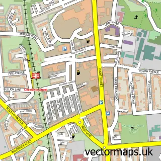
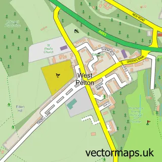
This Pelton street map is a detailed vector street map covering a 750m x 750m area. Select a larger area to create and download your own vector street map of Pelton.
The 750-metre map sample for Pelton covers 365 mapped buildings and approximately 20.0 km of road detail, of which 26 named roads are named. The immediate area includes 5 GP surgeries within 2 miles, 2 pubs and 8 MOT stations within 2 miles. The wider area around Pelton features 1 tourism point of interest and 3 food and drink venues. To create a larger or custom map of Pelton, the map builder lets you define your own coverage area and download editable SVG, PDF and PNG files.
Create a larger editable map of Pelton
Choose any area you need and generate a high-quality vector map instantly. Perfect for print, planning, design, business and personal use.

This Pelton street map in Durham is available as downloadable SVG, PDF and PNG map files, or as a printed map for planning, business, display, education, local information and design work. You can also create a larger custom map area using the map selector.
What this Pelton map sample shows
Pelton lies within Pelton Cp parish, part of Pelton ward in the County Durham local authority area. The postcode geography for this area includes the DH postcode area, the DH2 postcode district and the DH2 1 postcode sector. Residents fall under the Nhs North East And North Cumbria Integrated Care Board for NHS services.
Local features near Pelton
Within 2 milesAmenities and services in and around Pelton.
Administrative and postcode information for Pelton
The local authority covering Pelton is County Durham, within the county of Durham. The settlement lies within Pelton ward and Pelton Cp civil parish. The DH2 postcode district and DH2 1 postcode sector serve the immediate area. NHS provision in the area is delivered through County Durham And Darlington Nhs Foundation Trust.
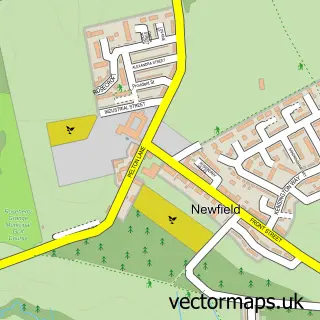
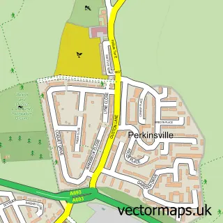
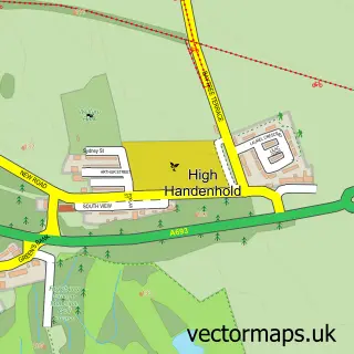
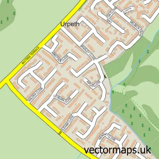
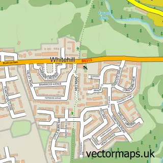
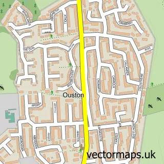
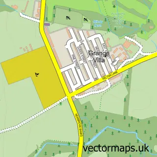
Nearby street map samples around Pelton

More street maps in Durham
750 metre map area coverage
Boundary, postcode and point of interest information for the 750m x 750m rectangle centred on this sample map.
Boundaries containing map centre
Constituency: North Durham Co Const
District: County Durham
Icb: NHS North East and North Cumbria ICB
Parish: Pelton CP
Police Force: durham
Postcode District: DH2
Postcode Sector: DH2 1
Nearby boundaries intersecting sample
Postcode Sector: DH2 2
Postcode coverage
POI category counts
Pizza Restaurant: 4
Beauty Salon: 3
Church Cathedral: 3
Barber: 2
Convenience Store: 2
Dentist: 2
Event Planning: 2
Hair Salon: 2
Home Goods Store: 2
Police Department: 2
Sample points of interest
- Pelton: Holy Trinity
- Gainford Care Homes
- The Cooperative Food (BF) Pelton, Pelton
- Grill House
- JJ's Chopshop barbers
- Yano barber
- Looks Well Beauty Salon
- Lookswell Beauty, Gifts and Home Interiors
- Orchid
- Storm
- JenningsBet
- Abbey Roofing Services
Create a larger editable map of Pelton
This sample shows only a 750 metre area. To create a larger map of Pelton, use our map builder to choose your own coverage area, add titles and download editable SVG, PDF and PNG files.
Create a custom map of Pelton