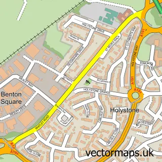
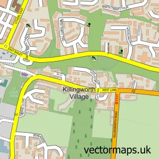
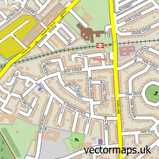
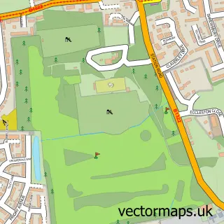
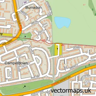
This Wallsend street map is a detailed vector street map covering a 750m x 750m area. Select a larger area to create and download your own vector street map of Wallsend.
The 750-metre map sample for Wallsend covers 299 mapped buildings and approximately 28.5 km of road detail, of which 69 named roads are named. The immediate area includes 1 railway station, 1 GP surgery, with 14 within 2 miles, 9 pubs and 1 MOT station, with 32 within 2 miles. The wider area around Wallsend features 2 tourism points of interest, 26 food and drink venues and 2 hotels. To create a larger or custom map of Wallsend, the map builder lets you define your own coverage area and download editable SVG, PDF and PNG files.
Create a larger editable map of Wallsend
Choose any area you need and generate a high-quality vector map instantly. Perfect for print, planning, design, business and personal use.

This Wallsend street map in Tyne & Wear is available as downloadable SVG, PDF and PNG map files, or as a printed map for planning, business, display, education, local information and design work. You can also create a larger custom map area using the map selector.
What this Wallsend map sample shows
Wallsend lies within North Tyneside District (B) parish, part of Wallsend ward in the North Tyneside District (B) local authority area. The postcode geography for this area includes the NE postcode area, the NE28 postcode district and the NE28 8 postcode sector. Residents fall under the Nhs North East And North Cumbria Integrated Care Board for NHS services.
Local features near Wallsend
Within 2 milesAmenities and services in and around Wallsend.
Administrative and postcode information for Wallsend
The local authority covering Wallsend is North Tyneside District (B), within the county of Tyne & Wear. The settlement lies within Wallsend ward and North Tyneside District (B) civil parish. The NE28 postcode district and NE28 8 postcode sector serve the immediate area. NHS provision in the area is delivered through The Newcastle Upon Tyne Hospitals Nhs Foundation Trust.
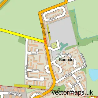
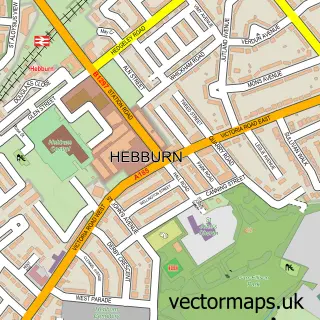
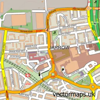
Nearby street map samples around Wallsend

More street maps in Tyne & Wear
750 metre map area coverage
Boundary, postcode and point of interest information for the 750m x 750m rectangle centred on this sample map.
Boundaries containing map centre
Constituency: Newcastle upon Tyne East and Wallsend Boro Const
District: North Tyneside District (B)
Icb: NHS North East and North Cumbria ICB
Police Force: northumberland
Postcode District: NE28
Postcode Sector: NE28 8
Ward: Wallsend Central Ward
Nearby boundaries intersecting sample
District: Newcastle upon Tyne District (B)
Postcode District: NE6
Postcode Sector: NE28 6, NE28 7, NE6 4
Ward: Walkergate Ward
Postcode coverage
POI category counts
Beauty Salon: 12
Fast Food Restaurant: 10
Hair Salon: 10
Beauty And Spa: 9
Convenience Store: 9
Pizza Restaurant: 9
Pub: 9
Clothing Store: 8
Indian Restaurant: 8
Restaurant: 8
Sample points of interest
- A & P Services Ltd
- Burnard Accountants
- Charles Robinson & Associates Ltd.
- Okai & Co. International Accountants
- OMG Hydroponics
- Newcastle Hypnotherapy
- Regal Amusements
- St Luke's Church
- Crafty Jacks Uk
- Admiral Casino
- Eden Court Sheltered Housing
- Eothen Homes
Create a larger editable map of Wallsend
This sample shows only a 750 metre area. To create a larger map of Wallsend, use our map builder to choose your own coverage area, add titles and download editable SVG, PDF and PNG files.
Create a custom map of Wallsend