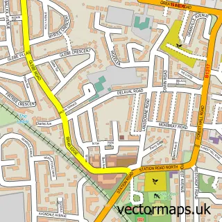
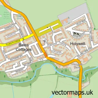
This Holystone street map is a detailed vector street map covering a 750m x 750m area. Select a larger area to create and download your own vector street map of Holystone.
The 750-metre map sample for Holystone covers 401 mapped buildings and approximately 21.7 km of road detail, of which 26 named roads are named. The immediate area includes 1 school, 4 GP surgeries within 2 miles, 3 pubs and 1 MOT station, with 25 within 2 miles. The wider area around Holystone features 6 food and drink venues and 1 hotel. To create a larger or custom map of Holystone, the map builder lets you define your own coverage area and download editable SVG, PDF and PNG files.
Create a larger editable map of Holystone
Choose any area you need and generate a high-quality vector map instantly. Perfect for print, planning, design, business and personal use.

This Holystone street map in Tyne & Wear is available as downloadable SVG, PDF and PNG map files, or as a printed map for planning, business, display, education, local information and design work. You can also create a larger custom map area using the map selector.
What this Holystone map sample shows
Holystone lies within North Tyneside District (B) parish, part of Valley ward in the North Tyneside District (B) local authority area. The postcode geography for this area includes the NE postcode area, the NE27 postcode district and the NE27 0 postcode sector. Residents fall under the Nhs North East And North Cumbria Integrated Care Board for NHS services.
Local features near Holystone
Within 2 milesAmenities and services in and around Holystone.
Administrative and postcode information for Holystone
The local authority covering Holystone is North Tyneside District (B), within the county of Tyne & Wear. The settlement lies within Valley ward and North Tyneside District (B) civil parish. The NE27 postcode district and NE27 0 postcode sector serve the immediate area. NHS provision in the area is delivered through Northumbria Healthcare Nhs Foundation Trust.
Nearby street map samples around Holystone
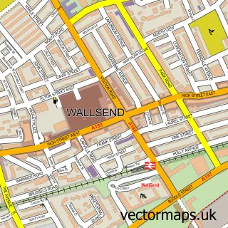

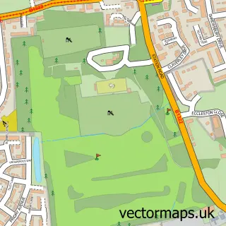
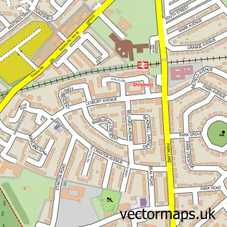
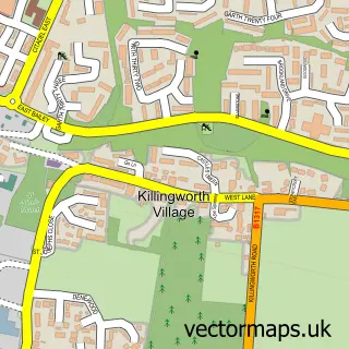
More street maps in Tyne & Wear
750 metre map area coverage
Boundary, postcode and point of interest information for the 750m x 750m rectangle centred on this sample map.
Boundaries containing map centre
Constituency: Cramlington and Killingworth Co Const
District: North Tyneside District (B)
Icb: NHS North East and North Cumbria ICB
Police Force: northumberland
Postcode District: NE27
Postcode Sector: NE27 0
Ward: Backworth & Holystone Ward
Nearby boundaries intersecting sample
Postcode District: NE12
Postcode Sector: NE12 9
Ward: Shiremoor Ward
Postcode coverage
POI category counts
Gas Station: 5
Automotive Repair: 4
Building Supply Store: 4
Car Dealer: 4
Elementary School: 3
Pub: 3
Retail: 3
Beauty And Spa: 2
Gym: 2
Package Locker: 2
Sample points of interest
- Tyne Tees Vending
- Penny Petroleum - Holystone Filling Station, HOLYSTONE
- CS Motor Engineering Ltd
- L&M Motoring Services
- PB bodyworks ltd
- R S Autocentre
- Beauty by ECA
- Oh Darlin Studio
- F E Maughan Ltd.
- Joseph Parr
- Joseph Parr (Tyne & Wear)
- Prospect Builders North East
Create a larger editable map of Holystone
This sample shows only a 750 metre area. To create a larger map of Holystone, use our map builder to choose your own coverage area, add titles and download editable SVG, PDF and PNG files.
Create a custom map of Holystone