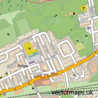
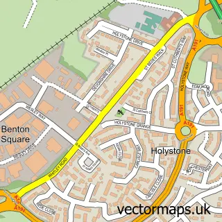
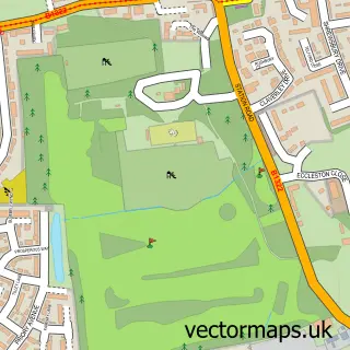
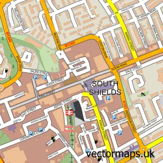
This Jarrow street map is a detailed vector street map covering a 750m x 750m area. Select a larger area to create and download your own vector street map of Jarrow.
The 750-metre map sample for Jarrow covers 210 mapped buildings and approximately 25.1 km of road detail, of which 59 named roads are named. The immediate area includes 1 railway station, 3 GP surgeries, with 12 within 2 miles, 8 pubs and 1 MOT station, with 31 within 2 miles. The wider area around Jarrow features 2 tourism points of interest and 11 food and drink venues. To create a larger or custom map of Jarrow, the map builder lets you define your own coverage area and download editable SVG, PDF and PNG files.
Create a larger editable map of Jarrow
Choose any area you need and generate a high-quality vector map instantly. Perfect for print, planning, design, business and personal use.

This Jarrow street map in Tyne & Wear is available as downloadable SVG, PDF and PNG map files, or as a printed map for planning, business, display, education, local information and design work. You can also create a larger custom map area using the map selector.
What this Jarrow map sample shows
Jarrow lies within South Tyneside District (B) parish, part of Primrose ward in the South Tyneside District (B) local authority area. The postcode geography for this area includes the NE postcode area, the NE32 postcode district and the NE32 3 postcode sector. Residents fall under the Nhs North East And North Cumbria Integrated Care Board for NHS services.
Local features near Jarrow
Within 2 milesAmenities and services in and around Jarrow.
Administrative and postcode information for Jarrow
Jarrow lies within South Tyneside District (B) parish, part of Primrose ward in the South Tyneside District (B) local authority area. The postcode geography for this area includes the NE postcode area, the NE32 postcode district and the NE32 3 postcode sector. Residents fall under the Nhs North East And North Cumbria Integrated Care Board for NHS services.
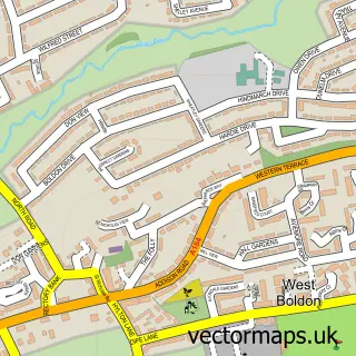
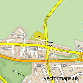
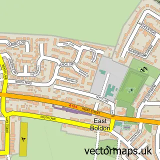
Nearby street map samples around Jarrow

More street maps in Tyne & Wear
750 metre map area coverage
Boundary, postcode and point of interest information for the 750m x 750m rectangle centred on this sample map.
Boundaries containing map centre
Constituency: Jarrow and Gateshead East Boro Const
District: South Tyneside District (B)
Icb: NHS North East and North Cumbria ICB
Police Force: northumberland
Postcode District: NE32
Postcode Sector: NE32 3
Ward: Primrose Ward
Nearby boundaries intersecting sample
Postcode Sector: NE32 5
Ward: Monkton Ward
Postcode coverage
POI category counts
Pub: 8
Doctor: 7
Gym: 7
Beauty Salon: 6
Pizza Restaurant: 5
Real Estate Agent: 5
Bakery: 4
Barber: 4
Butcher Shop: 4
Discount Store: 4
Sample points of interest
- KP Simpson Accountants & Business Advisors
- Energy Fitness Jarrow
- Expresso Amusements Jarrow
- Marie Curie Cancer Care
- Hillcrest Care Home
- Inspirations
- PayPoint
- Sharkdog Enterprises
- Wilson's Auto Service Centre
- Greggs
- J & S Bakery
- Nomadic Sweet Studio
Create a larger editable map of Jarrow
This sample shows only a 750 metre area. To create a larger map of Jarrow, use our map builder to choose your own coverage area, add titles and download editable SVG, PDF and PNG files.
Create a custom map of Jarrow