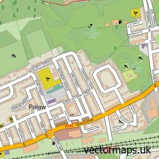
This Cleadon street map is a detailed vector street map covering a 750m x 750m area. Select a larger area to create and download your own vector street map of Cleadon.
The 750-metre map sample for Cleadon covers 379 mapped buildings and approximately 15.6 km of road detail, of which 30 named roads are named. The immediate area includes 1 school, 4 GP surgeries within 2 miles, 6 pubs and 1 MOT station, with 8 within 2 miles. The wider area around Cleadon features 3 tourism points of interest and 7 food and drink venues. To create a larger or custom map of Cleadon, the map builder lets you define your own coverage area and download editable SVG, PDF and PNG files.
Create a larger editable map of Cleadon
Choose any area you need and generate a high-quality vector map instantly. Perfect for print, planning, design, business and personal use.

This Cleadon street map in Tyne & Wear is available as downloadable SVG, PDF and PNG map files, or as a printed map for planning, business, display, education, local information and design work. You can also create a larger custom map area using the map selector.
What this Cleadon map sample shows
Cleadon lies within South Tyneside District (B) parish, part of Cleadon And East Boldon ward in the South Tyneside District (B) local authority area. The postcode geography for this area includes the SR postcode area, the SR6 postcode district and the SR6 7 postcode sector. Residents fall under the Nhs North East And North Cumbria Integrated Care Board for NHS services.
Local features near Cleadon
Within 2 milesAmenities and services in and around Cleadon.
Administrative and postcode information for Cleadon
Cleadon lies within South Tyneside District (B) parish, part of Cleadon And East Boldon ward in the South Tyneside District (B) local authority area. The postcode geography for this area includes the SR postcode area, the SR6 postcode district and the SR6 7 postcode sector. Residents fall under the Nhs North East And North Cumbria Integrated Care Board for NHS services.
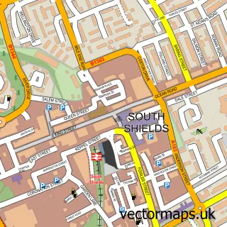
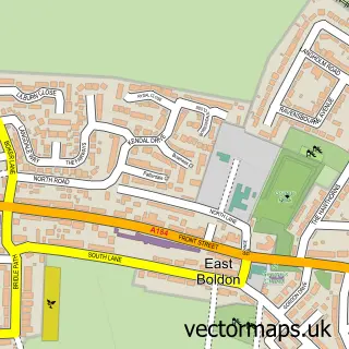
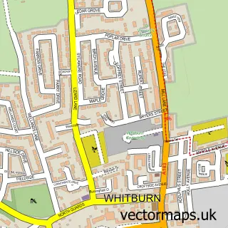
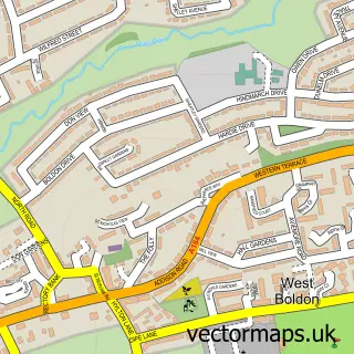
Nearby street map samples around Cleadon


More street maps in Tyne & Wear
750 metre map area coverage
Boundary, postcode and point of interest information for the 750m x 750m rectangle centred on this sample map.
Boundaries containing map centre
Constituency: South Shields Boro Const
District: South Tyneside District (B)
Icb: NHS North East and North Cumbria ICB
Police Force: northumberland
Postcode District: SR6
Postcode Sector: SR6 7
Ward: Cleadon and East Boldon Ward
Nearby boundaries intersecting sample
No additional intersecting boundaries found.
Postcode coverage
POI category counts
Pub: 6
Beauty Salon: 4
Flowers And Gifts Shop: 4
Gas Station: 4
Bar: 3
Church Cathedral: 3
Hair Salon: 3
Park: 3
Beauty Product Supplier: 2
Convenience Store: 2
Sample points of interest
- Cleadon Antiques and Gifts
- MFG - Cleadon, Shields Road
- Barclays Bank
- Lucis Bar and Bistro
- The Britannia
- Toby Carvery
- Cleadon Village Barber Shop
- Máy Xay Nhập Khẩu
- Relax And Glow
- Village Barber Shop
- Cleadon Beauty
- Door Twenty One Aesthetics
Create a larger editable map of Cleadon
This sample shows only a 750 metre area. To create a larger map of Cleadon, use our map builder to choose your own coverage area, add titles and download editable SVG, PDF and PNG files.
Create a custom map of Cleadon