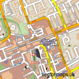
This Whitburn street map is a detailed vector street map covering a 750m x 750m area. Select a larger area to create and download your own vector street map of Whitburn.
The 750-metre map sample for Whitburn covers 449 mapped buildings and approximately 20.9 km of road detail, of which 41 named roads are named. The immediate area includes 1 school, 1 GP surgery, with 2 within 2 miles, 2 pubs and 4 MOT stations within 2 miles. The wider area around Whitburn features 1 tourism point of interest and 4 food and drink venues. To create a larger or custom map of Whitburn, the map builder lets you define your own coverage area and download editable SVG, PDF and PNG files.
Create a larger editable map of Whitburn
Choose any area you need and generate a high-quality vector map instantly. Perfect for print, planning, design, business and personal use.

This Whitburn street map in Tyne & Wear is available as downloadable SVG, PDF and PNG map files, or as a printed map for planning, business, display, education, local information and design work. You can also create a larger custom map area using the map selector.
What this Whitburn map sample shows
Whitburn lies within South Tyneside District (B) parish, part of Whitburn And Marsden ward in the South Tyneside District (B) local authority area. The postcode geography for this area includes the SR postcode area, the SR6 postcode district and the SR6 7 postcode sector. Residents fall under the Nhs North East And North Cumbria Integrated Care Board for NHS services.
Local features near Whitburn
Within 2 milesAmenities and services in and around Whitburn.
Administrative and postcode information for Whitburn
The local authority covering Whitburn is South Tyneside District (B), within the county of Tyne & Wear. The settlement lies within Whitburn And Marsden ward and South Tyneside District (B) civil parish. The SR6 postcode district and SR6 7 postcode sector serve the immediate area. NHS provision in the area is delivered through South Tyneside And Sunderland Nhs Foundation Trust.
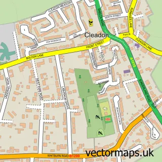
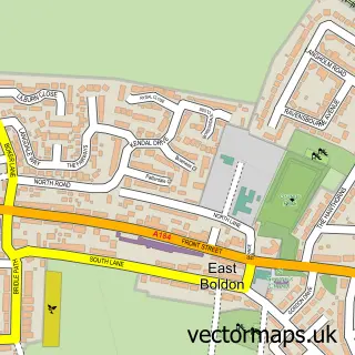
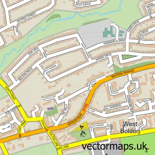
Nearby street map samples around Whitburn


More street maps in Tyne & Wear
750 metre map area coverage
Boundary, postcode and point of interest information for the 750m x 750m rectangle centred on this sample map.
Boundaries containing map centre
Constituency: South Shields Boro Const
District: South Tyneside District (B)
Icb: NHS North East and North Cumbria ICB
Police Force: northumberland
Postcode District: SR6
Postcode Sector: SR6 7
Ward: Whitburn and Marsden Ward
Nearby boundaries intersecting sample
No additional intersecting boundaries found.
Postcode coverage
POI category counts
Convenience Store: 4
Beauty Salon: 3
Package Locker: 3
Barber: 2
Beach: 2
Bridal Shop: 2
Butcher Shop: 2
Dog Walkers: 2
General Dentistry: 2
Naturopathic Holistic: 2
Sample points of interest
- Silksworth Lakes
- ATM (Post Office)
- Valetime
- Clipperz
- Max's Barberz
- Jackie's Beach, Whitburn
- Sunderland Beach
- No.9 Aesthetics
- Riva Hair & Beauty Salon
- SLR Beauty
- Aisle Alter Hymn
- The One Boutique
Create a larger editable map of Whitburn
This sample shows only a 750 metre area. To create a larger map of Whitburn, use our map builder to choose your own coverage area, add titles and download editable SVG, PDF and PNG files.
Create a custom map of Whitburn