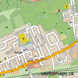
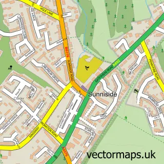
This Gateshead street map is a detailed vector street map covering a 750m x 750m area. Select a larger area to create and download your own vector street map of Gateshead.
The 750-metre map sample for Gateshead covers 94 mapped buildings and approximately 29.0 km of road detail, of which 44 named roads are named. The immediate area includes 1 railway station, 2 GP surgeries, with 21 within 2 miles, 14 pubs and 61 MOT stations within 2 miles. The wider area around Gateshead features 9 tourism points of interest, 29 food and drink venues and 2 hotels. To create a larger or custom map of Gateshead, the map builder lets you define your own coverage area and download editable SVG, PDF and PNG files.
Create a larger editable map of Gateshead
Choose any area you need and generate a high-quality vector map instantly. Perfect for print, planning, design, business and personal use.

This Gateshead street map in Tyne & Wear is available as downloadable SVG, PDF and PNG map files, or as a printed map for planning, business, display, education, local information and design work. You can also create a larger custom map area using the map selector.
What this Gateshead map sample shows
Gateshead lies within Gateshead District (B) parish, part of Bridges ward in the Gateshead District (B) local authority area. The postcode geography for this area includes the NE postcode area, the NE8 postcode district and the NE8 3 postcode sector. Residents fall under the Nhs North East And North Cumbria Integrated Care Board for NHS services.
Local features near Gateshead
Within 2 milesAmenities and services in and around Gateshead.
Administrative and postcode information for Gateshead
The local authority covering Gateshead is Gateshead District (B), within the county of Tyne & Wear. The settlement lies within Bridges ward and Gateshead District (B) civil parish. The NE8 postcode district and NE8 3 postcode sector serve the immediate area. NHS provision in the area is delivered through Gateshead Health Nhs Foundation Trust.
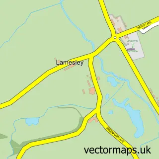
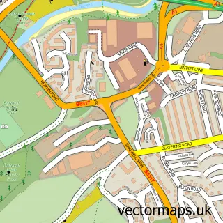
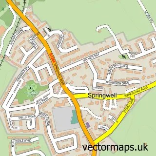
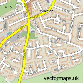
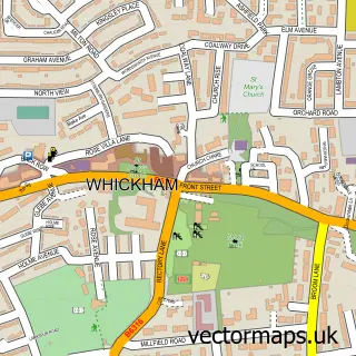
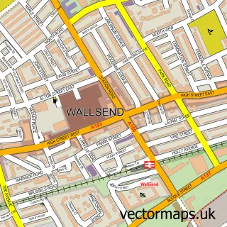
Nearby street map samples around Gateshead

More street maps in Tyne & Wear
750 metre map area coverage
Boundary, postcode and point of interest information for the 750m x 750m rectangle centred on this sample map.
Boundaries containing map centre
Constituency: Gateshead Central and Whickham Boro Const
District: Gateshead District (B)
Icb: NHS North East and North Cumbria ICB
Police Force: northumberland
Postcode District: NE8
Postcode Sector: NE8 1
Ward: Bridges Ward
Nearby boundaries intersecting sample
Postcode Sector: NE8 2, NE8 3, NE8 4
Ward: Lobley Hill and Bensham Ward
Postcode coverage
POI category counts
Professional Services: 21
Pub: 14
Tattoo And Piercing: 13
Community Services Non Profits: 9
Dentist: 8
Banks: 7
Coffee Shop: 7
Gym: 7
Legal Services: 7
Beauty Salon: 6
Sample points of interest
- Gateshead Recovery Partnership
- Recovery for Life
- COR Business Services
- Perro
- Sports & Leisure Publications
- The Solution Group
- Venyou Digital
- Newcastle Airport
- Nickelodeon Amusements
- Nobles
- St Edmund's Chapel
- Nobles Amusements Gateshead High Street
Create a larger editable map of Gateshead
This sample shows only a 750 metre area. To create a larger map of Gateshead, use our map builder to choose your own coverage area, add titles and download editable SVG, PDF and PNG files.
Create a custom map of Gateshead