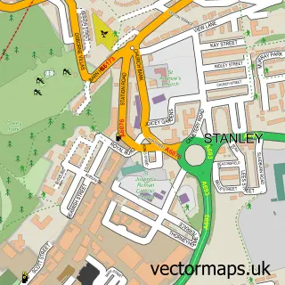
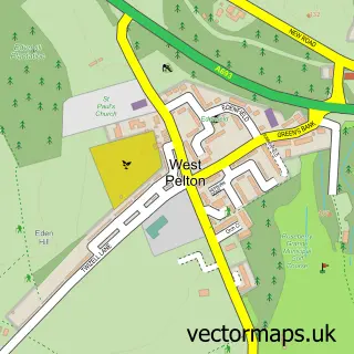
This Craghead street map is a detailed vector street map covering a 750m x 750m area. Select a larger area to create and download your own vector street map of Craghead.
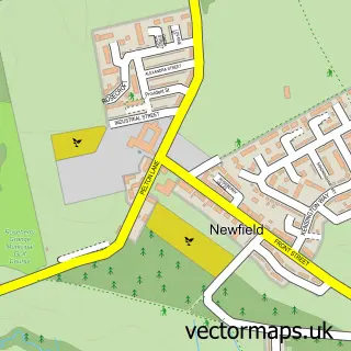
The 750-metre map sample for Craghead covers 138 mapped buildings and approximately 11.4 km of road detail, of which 17 named roads are named. The immediate area includes 2 GP surgeries within 2 miles, 2 pubs and 1 MOT station, with 10 within 2 miles. The wider area around Craghead features 2 tourism points of interest and 2 food and drink venues. To create a larger or custom map of Craghead, the map builder lets you define your own coverage area and download editable SVG, PDF and PNG files.
Create a larger editable map of Craghead
Choose any area you need and generate a high-quality vector map instantly. Perfect for print, planning, design, business and personal use.

This Craghead street map in Durham is available as downloadable SVG, PDF and PNG map files, or as a printed map for planning, business, display, education, local information and design work. You can also create a larger custom map area using the map selector.
What this Craghead map sample shows
Craghead lies within Stanley Cp parish, part of Craghead And South Moor ward in the County Durham local authority area. The postcode geography for this area includes the DH postcode area, the DH9 postcode district and the DH9 6 postcode sector. Residents fall under the Nhs North East And North Cumbria Integrated Care Board for NHS services.
Local features near Craghead
Within 2 milesAmenities and services in and around Craghead.
Administrative and postcode information for Craghead
The local authority covering Craghead is County Durham, within the county of Durham. The settlement lies within Craghead And South Moor ward and Stanley Cp civil parish. The DH9 postcode district and DH9 6 postcode sector serve the immediate area. NHS provision in the area is delivered through County Durham And Darlington Nhs Foundation Trust.
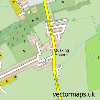
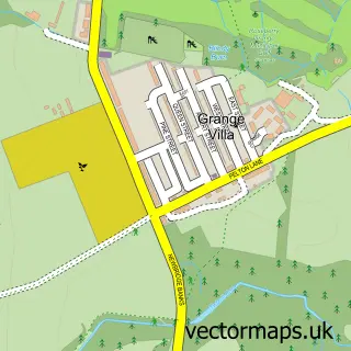
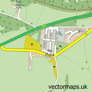
Nearby street map samples around Craghead

More street maps in Durham
750 metre map area coverage
Boundary, postcode and point of interest information for the 750m x 750m rectangle centred on this sample map.
Boundaries containing map centre
Constituency: North Durham Co Const
District: County Durham
Icb: NHS North East and North Cumbria ICB
Parish: Stanley CP
Police Force: durham
Postcode District: DH9
Postcode Sector: DH9 6
Nearby boundaries intersecting sample
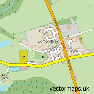
Parish: Edmondsley CP
Postcode coverage
POI category counts
Scrap Metals: 5
Beauty And Spa: 2
Gym: 2
Pub: 2
Appliance Repair Service: 1
Automotive Repair: 1
Banks: 1
Boutique: 1
Building Supply Store: 1
Bus Station: 1
Sample points of interest
- JD Lawnmowers
- LJ auto repairs
- Lloyds Bank
- County Durham
- M U B Y L E I G H - Hair & Makeup Artists
- Miss Behave Luxe
- James Cornwell Interiors
- Punchbowl Craghead Ltd.
- Wagtail Farm
- Craghead National Spiritualist Church
- M D Shotblasting Chemical & Industrial Cleaning
- Durham concrete solutions
Create a larger editable map of Craghead
This sample shows only a 750 metre area. To create a larger map of Craghead, use our map builder to choose your own coverage area, add titles and download editable SVG, PDF and PNG files.
Create a custom map of Craghead