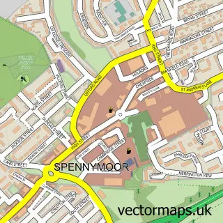
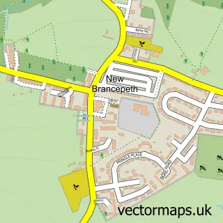
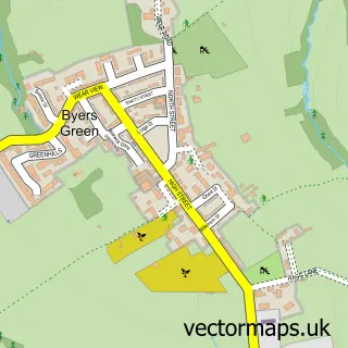
This Brancepeth street map is a detailed vector street map covering a 750m x 750m area. Select a larger area to create and download your own vector street map of Brancepeth.
The 750-metre map sample for Brancepeth covers 89 mapped buildings and approximately 7.7 km of road detail, of which 6 named roads are named. The immediate area includes 1 GP surgery within 2 miles and 5 MOT stations within 2 miles. The wider area around Brancepeth features 1 tourism point of interest and 1 food and drink venue. To create a larger or custom map of Brancepeth, the map builder lets you define your own coverage area and download editable SVG, PDF and PNG files.
Create a larger editable map of Brancepeth
Choose any area you need and generate a high-quality vector map instantly. Perfect for print, planning, design, business and personal use.

This Brancepeth street map in Durham is available as downloadable SVG, PDF and PNG map files, or as a printed map for planning, business, display, education, local information and design work. You can also create a larger custom map area using the map selector.
What this Brancepeth map sample shows
Brancepeth lies within Brancepeth Cp parish, part of Willington And Hunwick ward in the County Durham local authority area. The postcode geography for this area includes the DH postcode area, the DH7 postcode district and the DH7 8 postcode sector. Residents fall under the Nhs North East And North Cumbria Integrated Care Board for NHS services.
Local features near Brancepeth
Within 2 milesAmenities and services in and around Brancepeth.
Administrative and postcode information for Brancepeth
The local authority covering Brancepeth is County Durham, within the county of Durham. The settlement lies within Willington And Hunwick ward and Brancepeth Cp civil parish. The DH7 postcode district and DH7 8 postcode sector serve the immediate area. NHS provision in the area is delivered through County Durham And Darlington Nhs Foundation Trust.
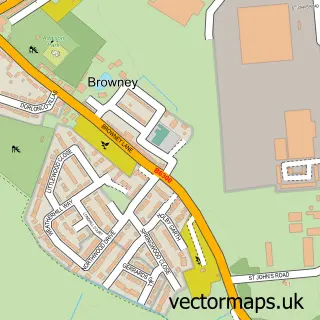
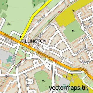
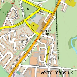
Nearby street map samples around Brancepeth

More street maps in Durham
750 metre map area coverage
Boundary, postcode and point of interest information for the 750m x 750m rectangle centred on this sample map.
Boundaries containing map centre
Constituency: City of Durham Co Const
District: County Durham
Icb: NHS North East and North Cumbria ICB
Parish: Brancepeth CP
Police Force: durham
Postcode District: DH7
Postcode Sector: DH7 8
Nearby boundaries intersecting sample
Parish: Greater Willington CP
Postcode District: DL15
Postcode Sector: DL15 0
Postcode coverage
POI category counts
Anglican Church: 1
Architectural Designer: 1
Cafe: 1
Castle: 1
Church Cathedral: 1
College University: 1
Home Improvement Store: 1
Jewelry Store: 1
Retail: 1
Shooting Range: 1
Sample points of interest
- St Brandon's Church
- Ryder Self Build and Design Architects
- Café BurgSchneider
- Brancepeth Castle
- St Brandons
- DUSCR - Durham University Society of Change Ringers
- Graham Nelson
- Steven Gregory Designs
- Cargo Bull
- Barbican Armoury
- Brancepeth railway station
Create a larger editable map of Brancepeth
This sample shows only a 750 metre area. To create a larger map of Brancepeth, use our map builder to choose your own coverage area, add titles and download editable SVG, PDF and PNG files.
Create a custom map of Brancepeth