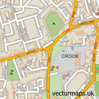
This Willington street map is a detailed vector street map covering a 750m x 750m area. Select a larger area to create and download your own vector street map of Willington.
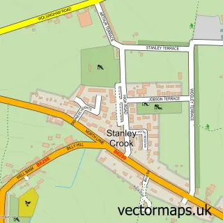
The 750-metre map sample for Willington covers 428 mapped buildings and approximately 19.7 km of road detail, of which 26 named roads are named. The immediate area includes 2 schools, 1 GP surgery, 3 pubs and 3 MOT stations within 2 miles. The wider area around Willington features 1 tourism point of interest, 9 food and drink venues and 1 hotel. To create a larger or custom map of Willington, the map builder lets you define your own coverage area and download editable SVG, PDF and PNG files.
Create a larger editable map of Willington
Choose any area you need and generate a high-quality vector map instantly. Perfect for print, planning, design, business and personal use.

This Willington street map in Durham is available as downloadable SVG, PDF and PNG map files, or as a printed map for planning, business, display, education, local information and design work. You can also create a larger custom map area using the map selector.
What this Willington map sample shows
Willington lies within Greater Willington Cp parish, part of Willington And Hunwick ward in the County Durham local authority area. The postcode geography for this area includes the DL postcode area, the DL15 postcode district and the DL15 0 postcode sector. Residents fall under the Nhs North East And North Cumbria Integrated Care Board for NHS services.
Local features near Willington
Within 2 milesAmenities and services in and around Willington.
Administrative and postcode information for Willington
The local authority covering Willington is County Durham, within the county of Durham. The settlement lies within Willington And Hunwick ward and Greater Willington Cp civil parish. The DL15 postcode district and DL15 0 postcode sector serve the immediate area. NHS provision in the area is delivered through County Durham And Darlington Nhs Foundation Trust.
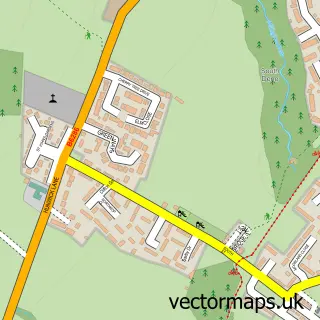
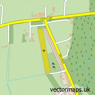
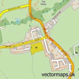
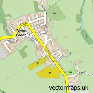
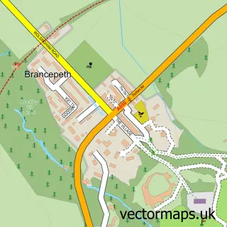
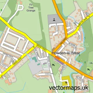
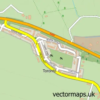
Nearby street map samples around Willington

More street maps in Durham
750 metre map area coverage
Boundary, postcode and point of interest information for the 750m x 750m rectangle centred on this sample map.
Boundaries containing map centre
Constituency: City of Durham Co Const
District: County Durham
Icb: NHS North East and North Cumbria ICB
Parish: Greater Willington CP
Police Force: durham
Postcode District: DL15
Postcode Sector: DL15 0
Nearby boundaries intersecting sample
No additional intersecting boundaries found.
Postcode coverage
POI category counts
Hair Salon: 6
Beauty Salon: 5
Convenience Store: 5
Retirement Home: 5
Pizza Restaurant: 4
Restaurant: 4
Chinese Restaurant: 3
Printing Services: 3
Professional Services: 3
Pub: 3
Sample points of interest
- Geoff Siddle - Accountancy & Bookkeeping
- The Cooperative Food (BF) Willington, Willington
- Kev's Autos
- The New Inn
- Diane’s Hair House
- Get Glam by Katie
- Heavenly Bliss Beauty
- Nails and beauty By Ruby
- Xtend Aesthetics
- Newfitt Brewery Services
- QVS Windows & Conservatories
- Three Oaks Joinery & Carpenry
Create a larger editable map of Willington
This sample shows only a 750 metre area. To create a larger map of Willington, use our map builder to choose your own coverage area, add titles and download editable SVG, PDF and PNG files.
Create a custom map of Willington