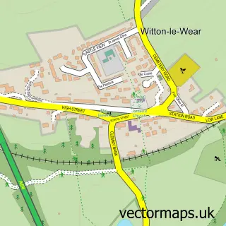
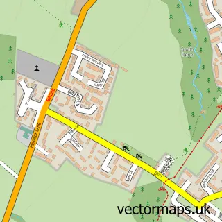
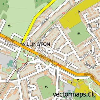
This Howden le Wear street map is a detailed vector street map covering a 750m x 750m area. Select a larger area to create and download your own vector street map of Howden le Wear.
The 750-metre map sample for Howden le Wear covers 262 mapped buildings and approximately 14.9 km of road detail, of which 20 named roads are named. The immediate area includes 1 school, 1 GP surgery within 2 miles, 1 pub and 3 MOT stations within 2 miles. The wider area around Howden le Wear features 2 food and drink venues. To create a larger or custom map of Howden le Wear, the map builder lets you define your own coverage area and download editable SVG, PDF and PNG files.
Create a larger editable map of Howden le Wear
Choose any area you need and generate a high-quality vector map instantly. Perfect for print, planning, design, business and personal use.

This Howden le Wear street map in Durham is available as downloadable SVG, PDF and PNG map files, or as a printed map for planning, business, display, education, local information and design work. You can also create a larger custom map area using the map selector.
What this Howden le Wear map sample shows
Howden le Wear lies within County Durham parish, part of Crook ward in the County Durham local authority area. The postcode geography for this area includes the DL postcode area, the DL15 postcode district and the DL15 8 postcode sector. Residents fall under the Nhs North East And North Cumbria Integrated Care Board for NHS services.
Local features near Howden le Wear
Within 2 milesAmenities and services in and around Howden le Wear.
Administrative and postcode information for Howden le Wear
Howden le Wear lies within County Durham parish, part of Crook ward in the County Durham local authority area. The postcode geography for this area includes the DL postcode area, the DL15 postcode district and the DL15 8 postcode sector. Residents fall under the Nhs North East And North Cumbria Integrated Care Board for NHS services.
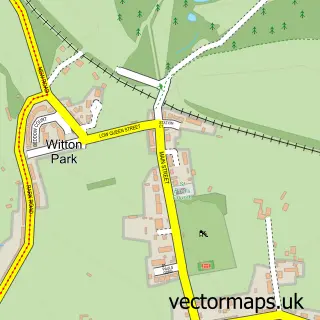
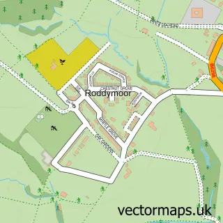
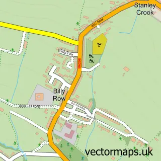
Nearby street map samples around Howden le Wear
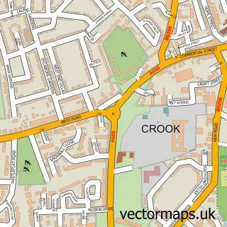

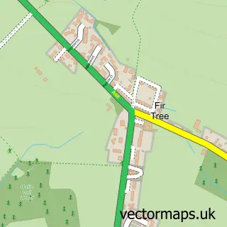
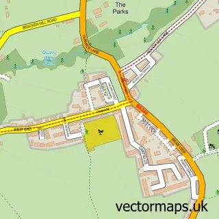
More street maps in Durham
750 metre map area coverage
Boundary, postcode and point of interest information for the 750m x 750m rectangle centred on this sample map.
Boundaries containing map centre
Constituency: Bishop Auckland Co Const
District: County Durham
Icb: NHS North East and North Cumbria ICB
Police Force: durham
Postcode District: DL15
Postcode Sector: DL15 8
Nearby boundaries intersecting sample
No additional intersecting boundaries found.
Postcode coverage
POI category counts
Convenience Store: 5
Food Delivery Service: 2
Gas Station: 2
Professional Services: 2
Shipping Center: 2
Active Life: 1
Beauty And Spa: 1
Beauty Salon: 1
Butcher Shop: 1
Charity Organization: 1
Sample points of interest
- Spectrum Leisure Complex
- Taylor Jameson Hair
- Amiee’s Beauty Lounge
- R. Chambers Butcher
- Cleveland Bay Horse Society
- Costa Express
- Campbell Stevens Associates
- Costcutter
- KSC Worldwide
- Mace
- One Stop
- SPAR
Create a larger editable map of Howden le Wear
This sample shows only a 750 metre area. To create a larger map of Howden le Wear, use our map builder to choose your own coverage area, add titles and download editable SVG, PDF and PNG files.
Create a custom map of Howden le Wear