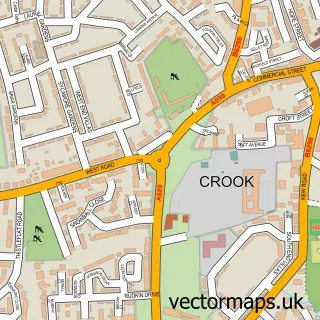
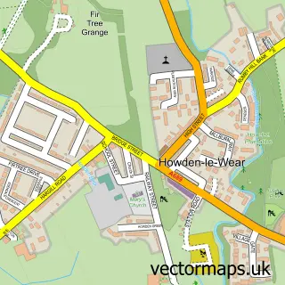
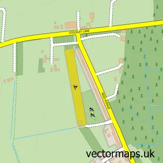
This New Hunwick street map is a detailed vector street map covering a 750m x 750m area. Select a larger area to create and download your own vector street map of New Hunwick.
The 750-metre map sample for New Hunwick covers 146 mapped buildings and approximately 10.3 km of road detail, of which 19 named roads are named. The immediate area includes 1 GP surgery within 2 miles and 5 MOT stations within 2 miles. The wider area around New Hunwick features 1 food and drink venue. To create a larger or custom map of New Hunwick, the map builder lets you define your own coverage area and download editable SVG, PDF and PNG files.
Create a larger editable map of New Hunwick
Choose any area you need and generate a high-quality vector map instantly. Perfect for print, planning, design, business and personal use.

This New Hunwick street map in Durham is available as downloadable SVG, PDF and PNG map files, or as a printed map for planning, business, display, education, local information and design work. You can also create a larger custom map area using the map selector.
What this New Hunwick map sample shows
New Hunwick lies within County Durham parish, part of Willington And Hunwick ward in the County Durham local authority area. The postcode geography for this area includes the DL postcode area, the DL15 postcode district and the DL15 0 postcode sector. Residents fall under the Nhs North East And North Cumbria Integrated Care Board for NHS services.
Local features near New Hunwick
Within 2 milesAmenities and services in and around New Hunwick.
Administrative and postcode information for New Hunwick
New Hunwick lies within County Durham parish, part of Willington And Hunwick ward in the County Durham local authority area. The postcode geography for this area includes the DL postcode area, the DL15 postcode district and the DL15 0 postcode sector. Residents fall under the Nhs North East And North Cumbria Integrated Care Board for NHS services.
Nearby street map samples around New Hunwick

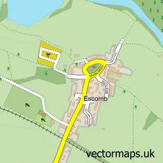
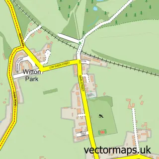
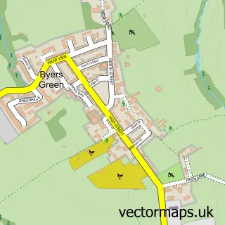
More street maps in Durham
750 metre map area coverage
Boundary, postcode and point of interest information for the 750m x 750m rectangle centred on this sample map.
Boundaries containing map centre
Constituency: City of Durham Co Const
District: County Durham
Icb: NHS North East and North Cumbria ICB
Police Force: durham
Postcode District: DL15
Postcode Sector: DL15 0
Nearby boundaries intersecting sample
No additional intersecting boundaries found.
Postcode coverage
POI category counts
Automotive Repair: 2
Beauty Salon: 2
Building Supply Store: 1
Convenience Store: 1
Driving School: 1
Home Security: 1
Korean Grocery Store: 1
Pet Boarding: 1
Professional Services: 1
Restaurant: 1
Sample points of interest
- Car Clinic
- RD Renewal Motors LTD
- Premier Aesthetics u.k
- Sérenity Beauty By Gemma
- RD Energy Services
- Hunwick WMC
- KT's School of Motoring
- Alarm Technologies UK New Office
- Post Office-Hunwick
- Black Dog Barn
- Neil Davis Photography
- The Quarry Burn
Create a larger editable map of New Hunwick
This sample shows only a 750 metre area. To create a larger map of New Hunwick, use our map builder to choose your own coverage area, add titles and download editable SVG, PDF and PNG files.
Create a custom map of New Hunwick