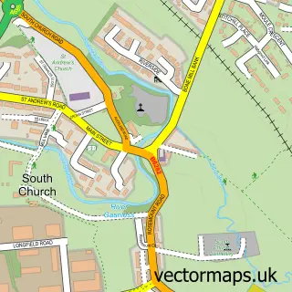
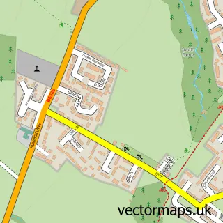
This Toronto street map is a detailed vector street map covering a 750m x 750m area. Select a larger area to create and download your own vector street map of Toronto.
The 750-metre map sample for Toronto covers 101 mapped buildings and approximately 8.6 km of road detail, of which 8 named roads are named. The immediate area includes 3 GP surgeries within 2 miles and 4 MOT stations within 2 miles. To create a larger or custom map of Toronto, the map builder lets you define your own coverage area and download editable SVG, PDF and PNG files.
Create a larger editable map of Toronto
Choose any area you need and generate a high-quality vector map instantly. Perfect for print, planning, design, business and personal use.

This Toronto street map in Durham is available as downloadable SVG, PDF and PNG map files, or as a printed map for planning, business, display, education, local information and design work. You can also create a larger custom map area using the map selector.
What this Toronto map sample shows
Toronto lies within County Durham parish, part of West Auckland ward in the County Durham local authority area. The postcode geography for this area includes the DL postcode area, the DL14 postcode district and the DL14 7 postcode sector. Residents fall under the Nhs North East And North Cumbria Integrated Care Board for NHS services.
Local features near Toronto
Within 2 milesAmenities and services in and around Toronto.
Administrative and postcode information for Toronto
Toronto lies within County Durham parish, part of West Auckland ward in the County Durham local authority area. The postcode geography for this area includes the DL postcode area, the DL14 postcode district and the DL14 7 postcode sector. Residents fall under the Nhs North East And North Cumbria Integrated Care Board for NHS services.
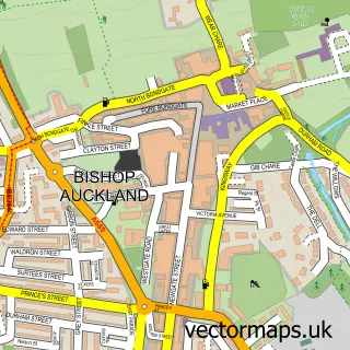
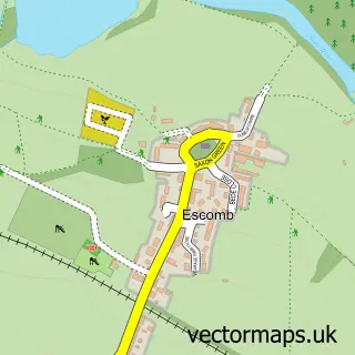
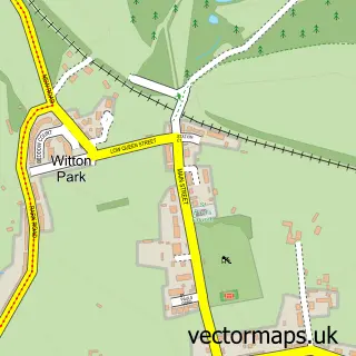
Nearby street map samples around Toronto

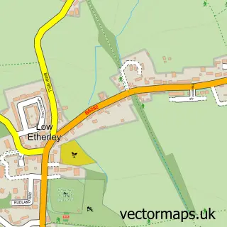
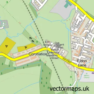
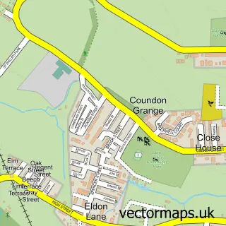
More street maps in Durham
750 metre map area coverage
Boundary, postcode and point of interest information for the 750m x 750m rectangle centred on this sample map.
Boundaries containing map centre
Constituency: Bishop Auckland Co Const
District: County Durham
Icb: NHS North East and North Cumbria ICB
Parish: Bishop Auckland CP
Police Force: durham
Postcode District: DL14
Postcode Sector: DL14 7
Nearby boundaries intersecting sample
Constituency: City of Durham Co Const
Postcode coverage
POI category counts
Agricultural Service: 1
Automotive Repair: 1
Building Supply Store: 1
Business Manufacturing And Supply: 1
Contractor: 1
Driving School: 1
Electronics: 1
Fence And Gate Sales Service: 1
Hvac Services: 1
Post Office: 1
Sample points of interest
- Wear Valley Tanks Ltd
- Twisted Mind Custom Motorcycles
- C J Roofing Services
- Seagraves Pallets
- P Hope Paving Specialists
- Buds Motorcycle Academy
- Pixl ID
- Woodside fencing and timber supplies
- Rct Stoves Ltd
- Toronto Post Office
- Complete Cladding Systems
- Harry's Taxis
Create a larger editable map of Toronto
This sample shows only a 750 metre area. To create a larger map of Toronto, use our map builder to choose your own coverage area, add titles and download editable SVG, PDF and PNG files.
Create a custom map of Toronto