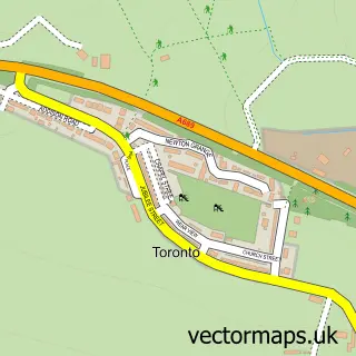
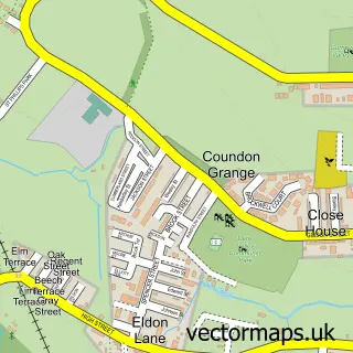
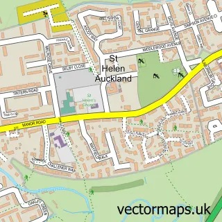
This Bishop Auckland street map is a detailed vector street map covering a 750m x 750m area. Select a larger area to create and download your own vector street map of Bishop Auckland.
The 750-metre map sample for Bishop Auckland covers 213 mapped buildings and approximately 21.4 km of road detail, of which 52 named roads are named. The immediate area includes 3 GP surgeries within 2 miles, 10 pubs and 9 MOT stations within 2 miles. The wider area around Bishop Auckland features 8 tourism points of interest, 25 food and drink venues and 4 hotels. To create a larger or custom map of Bishop Auckland, the map builder lets you define your own coverage area and download editable SVG, PDF and PNG files.
Create a larger editable map of Bishop Auckland
Choose any area you need and generate a high-quality vector map instantly. Perfect for print, planning, design, business and personal use.

This Bishop Auckland street map in Durham is available as downloadable SVG, PDF and PNG map files, or as a printed map for planning, business, display, education, local information and design work. You can also create a larger custom map area using the map selector.
What this Bishop Auckland map sample shows
Bishop Auckland lies within County Durham parish, part of Shildon And Dene Valley ward in the County Durham local authority area. The postcode geography for this area includes the DL postcode area, the DL14 postcode district and the DL14 6 postcode sector. Residents fall under the Nhs North East And North Cumbria Integrated Care Board for NHS services.
Local features near Bishop Auckland
Within 2 milesAmenities and services in and around Bishop Auckland.
Administrative and postcode information for Bishop Auckland
Bishop Auckland lies within County Durham parish, part of Shildon And Dene Valley ward in the County Durham local authority area. The postcode geography for this area includes the DL postcode area, the DL14 postcode district and the DL14 6 postcode sector. Residents fall under the Nhs North East And North Cumbria Integrated Care Board for NHS services.
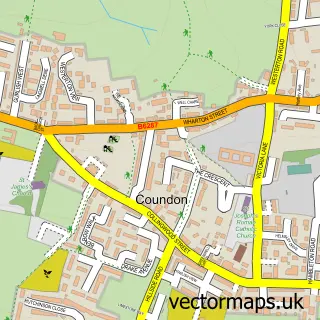
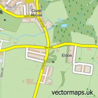
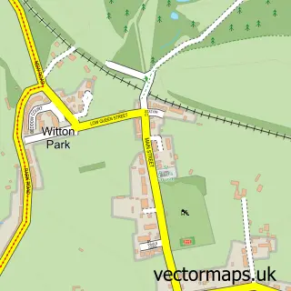
Nearby street map samples around Bishop Auckland

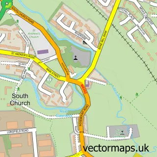
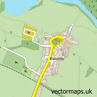
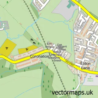
More street maps in Durham
750 metre map area coverage
Boundary, postcode and point of interest information for the 750m x 750m rectangle centred on this sample map.
Boundaries containing map centre
Constituency: Bishop Auckland Co Const
District: County Durham
Icb: NHS North East and North Cumbria ICB
Parish: Bishop Auckland CP
Police Force: durham
Postcode District: DL14
Postcode Sector: DL14 7
Nearby boundaries intersecting sample
No additional intersecting boundaries found.
Postcode coverage
POI category counts
Professional Services: 11
Real Estate Agent: 11
Clothing Store: 10
Pub: 10
Beauty Salon: 9
Charity Organization: 9
Flowers And Gifts Shop: 9
Pizza Restaurant: 9
Bakery: 8
Hair Salon: 8
Sample points of interest
- Curious12
- Gillian Arnold
- Cashino Gaming
- Classic Leisure
- St Annes Church Bishop Auckland
- St. Anne's Church, Bishop Auckland
- Oven Cleaning Company
- Bondgate Electrical Distribution
- Nobles Amusements
- Planarch Design Ltd.
- Glasper Lee Design Ltd
- Auckland Castle
Create a larger editable map of Bishop Auckland
This sample shows only a 750 metre area. To create a larger map of Bishop Auckland, use our map builder to choose your own coverage area, add titles and download editable SVG, PDF and PNG files.
Create a custom map of Bishop Auckland