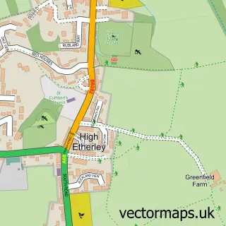
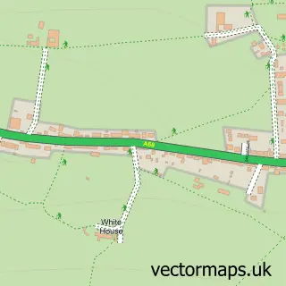
This Escomb street map is a detailed vector street map covering a 750m x 750m area. Select a larger area to create and download your own vector street map of Escomb.
The 750-metre map sample for Escomb covers 89 mapped buildings and approximately 3.7 km of road detail, of which 5 named roads are named. The immediate area includes 3 GP surgeries within 2 miles and 7 MOT stations within 2 miles. The wider area around Escomb features 1 tourism point of interest and 1 hotel. To create a larger or custom map of Escomb, the map builder lets you define your own coverage area and download editable SVG, PDF and PNG files.
Create a larger editable map of Escomb
Choose any area you need and generate a high-quality vector map instantly. Perfect for print, planning, design, business and personal use.

This Escomb street map in Durham is available as downloadable SVG, PDF and PNG map files, or as a printed map for planning, business, display, education, local information and design work. You can also create a larger custom map area using the map selector.
What this Escomb map sample shows
Escomb lies within County Durham parish, part of West Auckland ward in the County Durham local authority area. The postcode geography for this area includes the DL postcode area, the DL14 postcode district and the DL14 7 postcode sector. Residents fall under the Nhs North East And North Cumbria Integrated Care Board for NHS services.
Local features near Escomb
Within 2 milesAmenities and services in and around Escomb.
Administrative and postcode information for Escomb
The local authority covering Escomb is County Durham, within the county of Durham. The settlement lies within West Auckland ward and County Durham civil parish. The DL14 postcode district and DL14 7 postcode sector serve the immediate area. NHS provision in the area is delivered through County Durham And Darlington Nhs Foundation Trust.
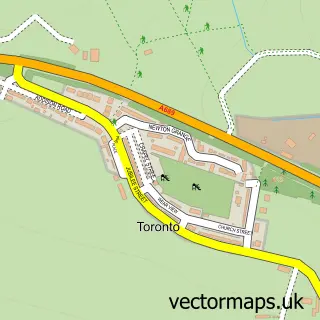
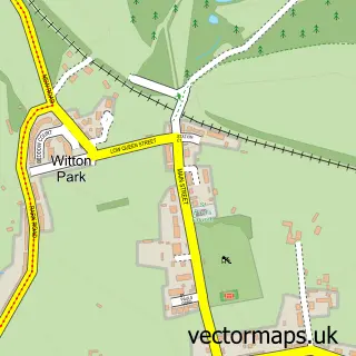
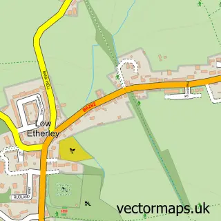
Nearby street map samples around Escomb

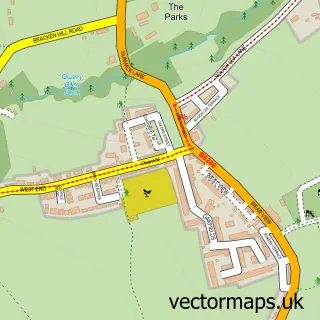
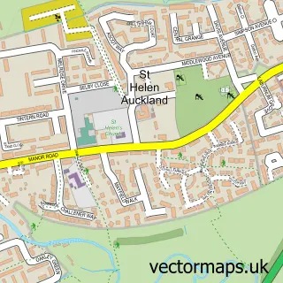
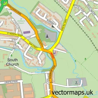
More street maps in Durham
750 metre map area coverage
Boundary, postcode and point of interest information for the 750m x 750m rectangle centred on this sample map.
Boundaries containing map centre
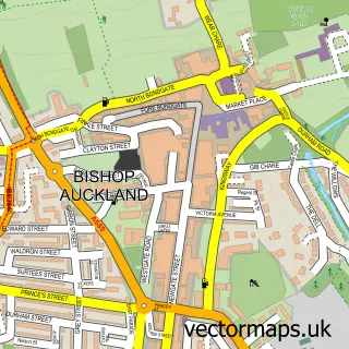
Constituency: Bishop Auckland Co Const
District: County Durham
Icb: NHS North East and North Cumbria ICB
Police Force: durham
Postcode District: DL14
Postcode Sector: DL14 7
Nearby boundaries intersecting sample
Parish: Bishop Auckland CP
Postcode Sector: DL14 0
Postcode coverage
POI category counts
Driving School: 3
Community Center: 2
Bar: 1
Church Cathedral: 1
Cleaning Services: 1
Dance Club: 1
Gym: 1
Hotel: 1
Inn: 1
Meditation Center: 1
Sample points of interest
- The Winkle BAR
- Escomb Saxon Church
- Gordon Ramsays Cleaner Cookers
- Escomb Village Hall
- Escomb Village Hall
- V C L Entertainments
- Driving Theory Tutor
- Safe2Go Driving School
- Safe2go Driving Lessons & Driving Theory Tutor
- Salkeld Stables
- Saxon Inn
- The Saxon Inn
Create a larger editable map of Escomb
This sample shows only a 750 metre area. To create a larger map of Escomb, use our map builder to choose your own coverage area, add titles and download editable SVG, PDF and PNG files.
Create a custom map of Escomb