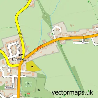
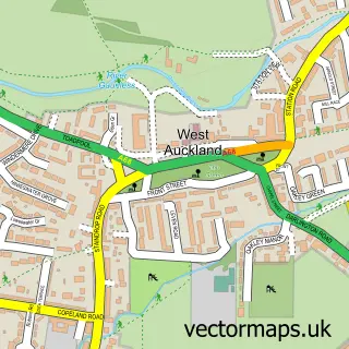
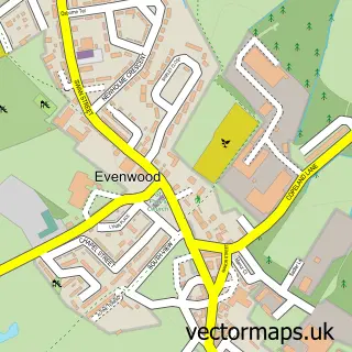
This High Etherley street map is a detailed vector street map covering a 750m x 750m area. Select a larger area to create and download your own vector street map of High Etherley.
The 750-metre map sample for High Etherley covers 170 mapped buildings and approximately 6.2 km of road detail, of which 13 named roads are named. The immediate area includes 1 school, 1 pub and 4 MOT stations within 2 miles. The wider area around High Etherley features 1 food and drink venue. To create a larger or custom map of High Etherley, the map builder lets you define your own coverage area and download editable SVG, PDF and PNG files.
Create a larger editable map of High Etherley
Choose any area you need and generate a high-quality vector map instantly. Perfect for print, planning, design, business and personal use.

This High Etherley street map in Durham is available as downloadable SVG, PDF and PNG map files, or as a printed map for planning, business, display, education, local information and design work. You can also create a larger custom map area using the map selector.
What this High Etherley map sample shows
High Etherley lies within Etherley Cp parish, part of Evenwood ward in the County Durham local authority area. The postcode geography for this area includes the DL postcode area, the DL14 postcode district and the DL14 0 postcode sector. Residents fall under the Nhs North East And North Cumbria Integrated Care Board for NHS services.
Local features near High Etherley
Within 2 milesAmenities and services in and around High Etherley.
Administrative and postcode information for High Etherley
The local authority covering High Etherley is County Durham, within the county of Durham. The settlement lies within Evenwood ward and Etherley Cp civil parish. The DL14 postcode district and DL14 0 postcode sector serve the immediate area. NHS provision in the area is delivered through County Durham And Darlington Nhs Foundation Trust.
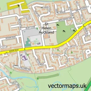
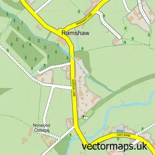
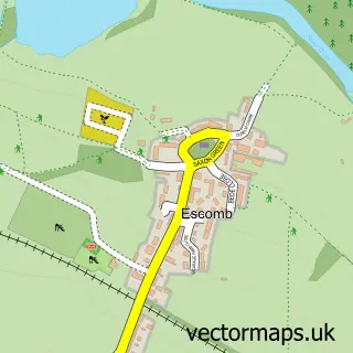
Nearby street map samples around High Etherley
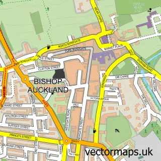

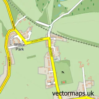
More street maps in Durham
750 metre map area coverage
Boundary, postcode and point of interest information for the 750m x 750m rectangle centred on this sample map.
Boundaries containing map centre
Constituency: Bishop Auckland Co Const
District: County Durham
Icb: NHS North East and North Cumbria ICB
Parish: Etherley CP
Police Force: durham
Postcode District: DL14
Postcode Sector: DL14 0
Nearby boundaries intersecting sample
Parish: Evenwood and Barony CP
Postcode coverage
POI category counts
Accountant: 2
Church Cathedral: 2
Landscaping: 2
Anglican Church: 1
Beauty Salon: 1
Community Center: 1
Elementary School: 1
Freight And Cargo Service: 1
Hair Salon: 1
Home Service: 1
Sample points of interest
- T & A Dixon Accountancy Services
- T & A Dixon Accountancy Services
- St. Cuthbert’s
- Five Concept
- Etherley Methodist Church
- St Cuthberts Church
- Tofthill Community Centre
- Toft Hill Primary School
- M D Shipping & Forwarding
- Michael Teasdale Hair
- Daybreak Nursery
- Eastwood Grounds & Garden Services
Create a larger editable map of High Etherley
This sample shows only a 750 metre area. To create a larger map of High Etherley, use our map builder to choose your own coverage area, add titles and download editable SVG, PDF and PNG files.
Create a custom map of High Etherley