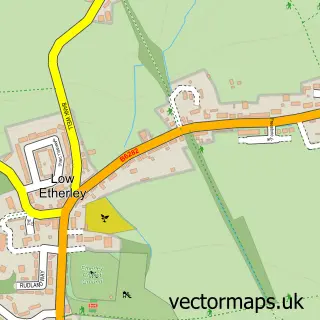
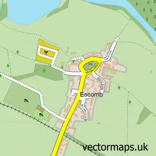
This West Auckland street map is a detailed vector street map covering a 750m x 750m area. Select a larger area to create and download your own vector street map of West Auckland.
The 750-metre map sample for West Auckland covers 294 mapped buildings and approximately 13.5 km of road detail, of which 24 named roads are named. The immediate area includes 2 schools, 1 GP surgery within 2 miles, 2 pubs and 1 MOT station, with 9 within 2 miles. The wider area around West Auckland features 4 food and drink venues and 2 hotels. To create a larger or custom map of West Auckland, the map builder lets you define your own coverage area and download editable SVG, PDF and PNG files.
Create a larger editable map of West Auckland
Choose any area you need and generate a high-quality vector map instantly. Perfect for print, planning, design, business and personal use.

This West Auckland street map in Durham is available as downloadable SVG, PDF and PNG map files, or as a printed map for planning, business, display, education, local information and design work. You can also create a larger custom map area using the map selector.
What this West Auckland map sample shows
West Auckland lies within West Auckland Cp parish, part of West Auckland ward in the County Durham local authority area. The postcode geography for this area includes the DL postcode area, the DL14 postcode district and the DL14 9 postcode sector. Residents fall under the Nhs North East And North Cumbria Integrated Care Board for NHS services.
Local features near West Auckland
Within 2 milesAmenities and services in and around West Auckland.
Administrative and postcode information for West Auckland
West Auckland lies within West Auckland Cp parish, part of West Auckland ward in the County Durham local authority area. The postcode geography for this area includes the DL postcode area, the DL14 postcode district and the DL14 9 postcode sector. Residents fall under the Nhs North East And North Cumbria Integrated Care Board for NHS services.
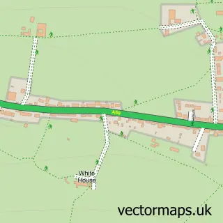
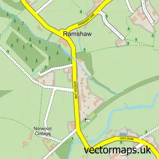
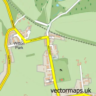
Nearby street map samples around West Auckland
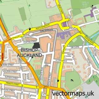

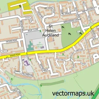
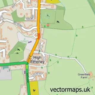
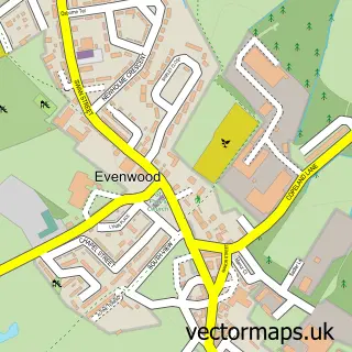
More street maps in Durham
750 metre map area coverage
Boundary, postcode and point of interest information for the 750m x 750m rectangle centred on this sample map.
Boundaries containing map centre
Constituency: Bishop Auckland Co Const
District: County Durham
Icb: NHS North East and North Cumbria ICB
Parish: West Auckland CP
Police Force: durham
Postcode District: DL14
Postcode Sector: DL14 9
Nearby boundaries intersecting sample
Parish: Etherley CP
Postcode coverage
POI category counts
Convenience Store: 4
Atms: 2
Automotive Repair: 2
Barber: 2
Beauty And Spa: 2
Caterer: 2
Elementary School: 2
Hotel: 2
Pub: 2
Shipping Center: 2
Sample points of interest
- David Scott & Co.
- Antiques On The Green
- Morrisons Daily - West Auckland Front Stree, West Auckland
- PayPoint
- JCM Electrical (NE)
- Bishi
- Penine Way Garage
- Sir Thomas Barbers
- West barber
- Glam Nails
- Jenn's Beauty Loft
- AJ's Ladies & Gents Hairdressing
Create a larger editable map of West Auckland
This sample shows only a 750 metre area. To create a larger map of West Auckland, use our map builder to choose your own coverage area, add titles and download editable SVG, PDF and PNG files.
Create a custom map of West Auckland