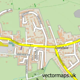
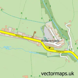
This Evenwood street map is a detailed vector street map covering a 750m x 750m area. Select a larger area to create and download your own vector street map of Evenwood.
The 750-metre map sample for Evenwood covers 241 mapped buildings and approximately 14.1 km of road detail, of which 17 named roads are named. The immediate area includes 1 school, 1 GP surgery, with 2 within 2 miles and 1 MOT station, with 4 within 2 miles. The wider area around Evenwood features 3 food and drink venues. To create a larger or custom map of Evenwood, the map builder lets you define your own coverage area and download editable SVG, PDF and PNG files.
Create a larger editable map of Evenwood
Choose any area you need and generate a high-quality vector map instantly. Perfect for print, planning, design, business and personal use.

This Evenwood street map in Durham is available as downloadable SVG, PDF and PNG map files, or as a printed map for planning, business, display, education, local information and design work. You can also create a larger custom map area using the map selector.
What this Evenwood map sample shows
Evenwood lies within Evenwood And Barony Cp parish, part of Evenwood ward in the County Durham local authority area. The postcode geography for this area includes the DL postcode area, the DL14 postcode district and the DL14 9 postcode sector. Residents fall under the Nhs North East And North Cumbria Integrated Care Board for NHS services.
Local features near Evenwood
Within 2 milesAmenities and services in and around Evenwood.
Administrative and postcode information for Evenwood
Evenwood lies within Evenwood And Barony Cp parish, part of Evenwood ward in the County Durham local authority area. The postcode geography for this area includes the DL postcode area, the DL14 postcode district and the DL14 9 postcode sector. Residents fall under the Nhs North East And North Cumbria Integrated Care Board for NHS services.
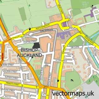
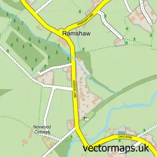
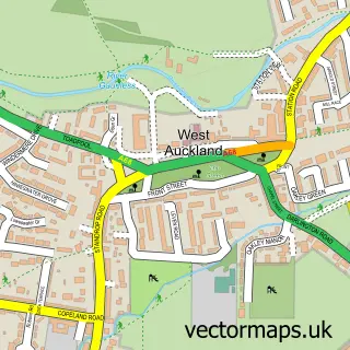
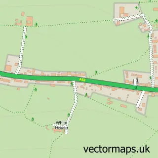
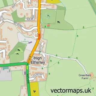
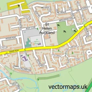
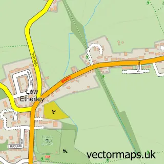
Nearby street map samples around Evenwood

More street maps in Durham
750 metre map area coverage
Boundary, postcode and point of interest information for the 750m x 750m rectangle centred on this sample map.
Boundaries containing map centre
Constituency: Bishop Auckland Co Const
District: County Durham
Icb: NHS North East and North Cumbria ICB
Parish: Evenwood and Barony CP
Police Force: durham
Postcode District: DL14
Postcode Sector: DL14 9
Nearby boundaries intersecting sample
No additional intersecting boundaries found.
Postcode coverage
POI category counts
Automotive Repair: 2
Business Manufacturing And Supply: 2
Convenience Store: 2
Gardener: 2
Retirement Home: 2
Roofing: 2
Shipping Center: 2
Adult Education: 1
Arts And Crafts: 1
Arts And Entertainment: 1
Sample points of interest
- Flexy Gist
- Jet Wolf Needle Felt
- Notes of Life
- Morrisons Daily - Bishops Auckland Evenwood , Evenwood
- A1 cosmetic car care Ltd
- Alan Sewell Ltd
- COAT-IT
- travellers rest
- Ihsan’s Barber shop and sunbeds Evenwood
- A's Nails
- McColl's Brewery
- Elite Wedding Cars
Create a larger editable map of Evenwood
This sample shows only a 750 metre area. To create a larger map of Evenwood, use our map builder to choose your own coverage area, add titles and download editable SVG, PDF and PNG files.
Create a custom map of Evenwood