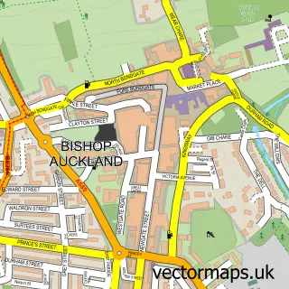
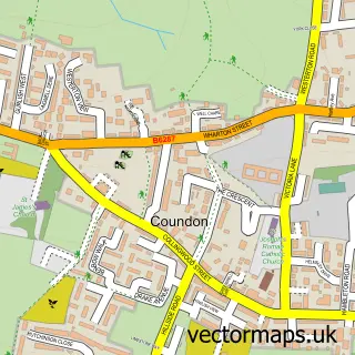
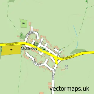
This South Church street map is a detailed vector street map covering a 750m x 750m area. Select a larger area to create and download your own vector street map of South Church.
The 750-metre map sample for South Church covers 220 mapped buildings and approximately 11.0 km of road detail, of which 17 named roads are named. The immediate area includes 4 GP surgeries within 2 miles and 13 MOT stations within 2 miles. The wider area around South Church features 1 food and drink venue and 1 hotel. To create a larger or custom map of South Church, the map builder lets you define your own coverage area and download editable SVG, PDF and PNG files.
Create a larger editable map of South Church
Choose any area you need and generate a high-quality vector map instantly. Perfect for print, planning, design, business and personal use.

This South Church street map in Durham is available as downloadable SVG, PDF and PNG map files, or as a printed map for planning, business, display, education, local information and design work. You can also create a larger custom map area using the map selector.
What this South Church map sample shows
South Church lies within County Durham parish, part of Shildon And Dene Valley ward in the County Durham local authority area. The postcode geography for this area includes the DL postcode area, the DL14 postcode district and the DL14 6 postcode sector. Residents fall under the Nhs North East And North Cumbria Integrated Care Board for NHS services.
Local features near South Church
Within 2 milesAmenities and services in and around South Church.
Administrative and postcode information for South Church
The local authority covering South Church is County Durham, within the county of Durham. The settlement lies within Shildon And Dene Valley ward and County Durham civil parish. The DL14 postcode district and DL14 6 postcode sector serve the immediate area. NHS provision in the area is delivered through County Durham And Darlington Nhs Foundation Trust.
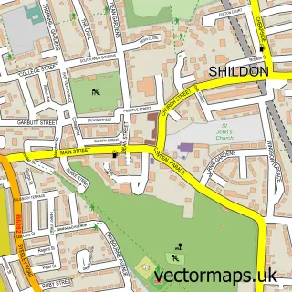
Nearby street map samples around South Church

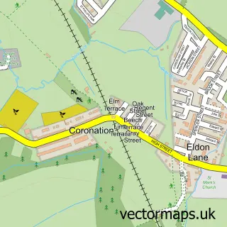
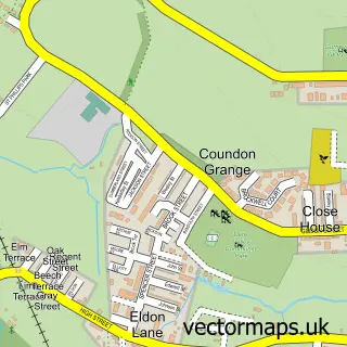
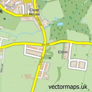
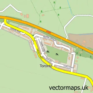
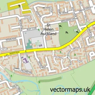
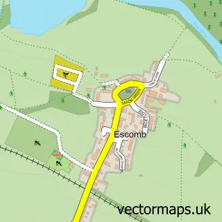
More street maps in Durham
750 metre map area coverage
Boundary, postcode and point of interest information for the 750m x 750m rectangle centred on this sample map.
Boundaries containing map centre
Constituency: Bishop Auckland Co Const
District: County Durham
Icb: NHS North East and North Cumbria ICB
Police Force: durham
Postcode District: DL14
Postcode Sector: DL14 6
Nearby boundaries intersecting sample
Parish: Bishop Auckland CP, Dene Valley CP
Postcode Sector: DL14 8
Postcode coverage
POI category counts
Church Cathedral: 3
Automotive Repair: 2
Contractor: 2
Landscaping: 2
Anglican Church: 1
Bathroom Remodeling: 1
Beauty Salon: 1
Bookstore: 1
Business To Business: 1
Day Care Preschool: 1
Sample points of interest
- St. Andrew's Church, Bishop Auckland
- EMS Diagnostics Ltd
- EMS Independent Land Rover Vehicle Specialists
- Simply Bathrooms
- Sue Stevens Aesthetics
- Peter and Rachel Reynolds - rare and second-hand Christian books
- ATAG Design Ltd.
- South Church Bishop Aukland
- South Church, County Durham
- St Andrew's Church
- Arroe Building & Home Maintenance Services
- GEH Developments
Create a larger editable map of South Church
This sample shows only a 750 metre area. To create a larger map of South Church, use our map builder to choose your own coverage area, add titles and download editable SVG, PDF and PNG files.
Create a custom map of South Church