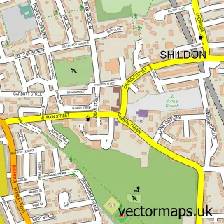
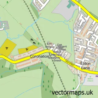
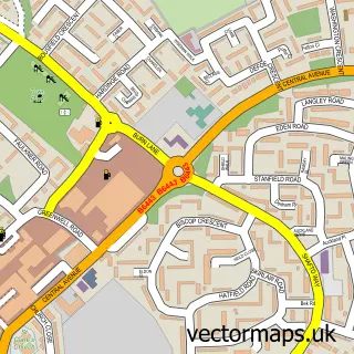
This Middridge street map is a detailed vector street map covering a 750m x 750m area. Select a larger area to create and download your own vector street map of Middridge.
The 750-metre map sample for Middridge covers 79 mapped buildings and approximately 6.5 km of road detail, of which 8 named roads are named. The immediate area includes 4 GP surgeries within 2 miles, 2 pubs and 3 MOT stations within 2 miles. The wider area around Middridge features 3 food and drink venues. To create a larger or custom map of Middridge, the map builder lets you define your own coverage area and download editable SVG, PDF and PNG files.
Create a larger editable map of Middridge
Choose any area you need and generate a high-quality vector map instantly. Perfect for print, planning, design, business and personal use.

This Middridge street map in Durham is available as downloadable SVG, PDF and PNG map files, or as a printed map for planning, business, display, education, local information and design work. You can also create a larger custom map area using the map selector.
What this Middridge map sample shows
Middridge lies within Middridge Cp parish, part of Aycliffe North And Middridge ward in the County Durham local authority area. The postcode geography for this area includes the DL postcode area, the DL5 postcode district and the DL5 7 postcode sector. Residents fall under the Nhs North East And North Cumbria Integrated Care Board for NHS services.
Local features near Middridge
Within 2 milesAmenities and services in and around Middridge.
Administrative and postcode information for Middridge
Middridge lies within Middridge Cp parish, part of Aycliffe North And Middridge ward in the County Durham local authority area. The postcode geography for this area includes the DL postcode area, the DL5 postcode district and the DL5 7 postcode sector. Residents fall under the Nhs North East And North Cumbria Integrated Care Board for NHS services.
Nearby street map samples around Middridge

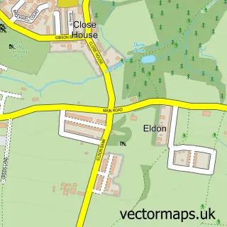
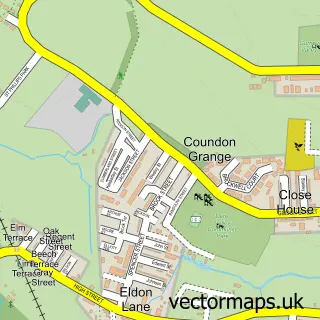

More street maps in Durham
750 metre map area coverage
Boundary, postcode and point of interest information for the 750m x 750m rectangle centred on this sample map.
Boundaries containing map centre
Constituency: Newton Aycliffe and Spennymoor Co Const
District: County Durham
Icb: NHS North East and North Cumbria ICB
Parish: Middridge CP
Police Force: durham
Postcode District: DL5
Postcode Sector: DL5 7
Nearby boundaries intersecting sample
Constituency: Bishop Auckland Co Const
Parish: Eldon CP, Shildon CP
Postcode District: DL4
Postcode Sector: DL4 2
Postcode coverage
POI category counts
Beauty Salon: 2
Pub: 2
Community Center: 1
Home Developer: 1
Massage: 1
Restaurant: 1
Travel Services: 1
Sample points of interest
- Flawless Infusions Beauty
- Middridge Beautique
- Middridge Village Hall
- Persimmon Homes Acorn Gardens
- Healing Hands Massage
- Bay Horse
- The Bayhorse Middridge New
- The Poachers Pocket
- Stay Northside Cottage: 2-Bedroom Luxury Getaway in County Durham
Create a larger editable map of Middridge
This sample shows only a 750 metre area. To create a larger map of Middridge, use our map builder to choose your own coverage area, add titles and download editable SVG, PDF and PNG files.
Create a custom map of Middridge