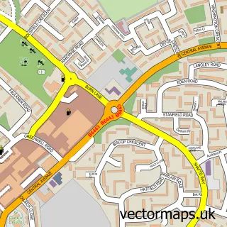
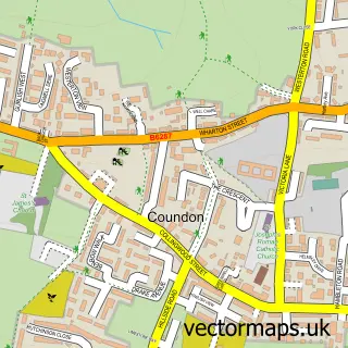
This Rushyford street map is a detailed vector street map covering a 750m x 750m area. Select a larger area to create and download your own vector street map of Rushyford.
The 750-metre map sample for Rushyford covers 122 mapped buildings and approximately 13.9 km of road detail, of which 6 named roads are named. The immediate area includes 1 GP surgery within 2 miles and 1 MOT station within 2 miles. The wider area around Rushyford features 1 hotel. To create a larger or custom map of Rushyford, the map builder lets you define your own coverage area and download editable SVG, PDF and PNG files.
Create a larger editable map of Rushyford
Choose any area you need and generate a high-quality vector map instantly. Perfect for print, planning, design, business and personal use.

This Rushyford street map in Durham is available as downloadable SVG, PDF and PNG map files, or as a printed map for planning, business, display, education, local information and design work. You can also create a larger custom map area using the map selector.
What this Rushyford map sample shows
Rushyford lies within Chilton Cp parish, part of Chilton ward in the County Durham local authority area. The postcode geography for this area includes the DL postcode area, the DL17 postcode district and the DL17 0 postcode sector. Residents fall under the Nhs North East And North Cumbria Integrated Care Board for NHS services.
Local features near Rushyford
Within 2 milesAmenities and services in and around Rushyford.
Administrative and postcode information for Rushyford
Rushyford lies within Chilton Cp parish, part of Chilton ward in the County Durham local authority area. The postcode geography for this area includes the DL postcode area, the DL17 postcode district and the DL17 0 postcode sector. Residents fall under the Nhs North East And North Cumbria Integrated Care Board for NHS services.
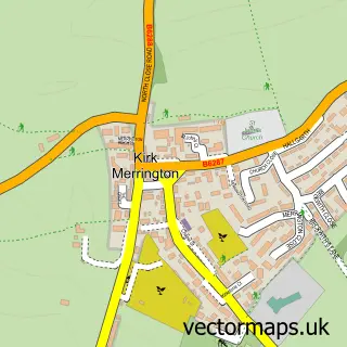
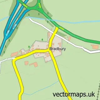
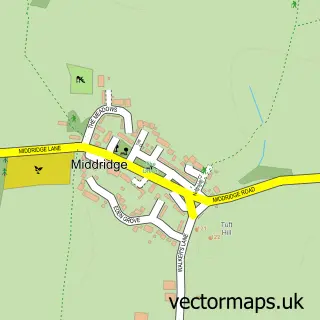
Nearby street map samples around Rushyford

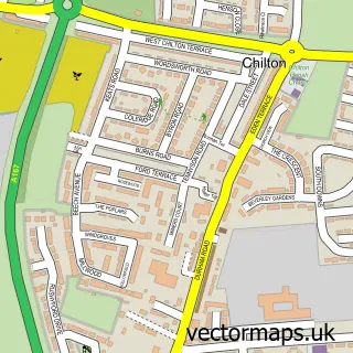
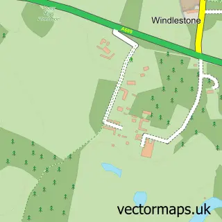
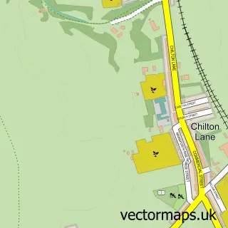
More street maps in Durham
750 metre map area coverage
Boundary, postcode and point of interest information for the 750m x 750m rectangle centred on this sample map.
Boundaries containing map centre
Constituency: Newton Aycliffe and Spennymoor Co Const
District: County Durham
Icb: NHS North East and North Cumbria ICB
Parish: Chilton CP, Windlestone CP
Police Force: durham
Postcode District: DL17
Postcode Sector: DL17 0
Nearby boundaries intersecting sample
No additional intersecting boundaries found.
Postcode coverage
POI category counts
Active Life: 1
Automotive: 1
Education: 1
Fence And Gate Sales Service: 1
Hotel: 1
Library: 1
Shoe Repair: 1
Sample points of interest
- Advantage Health Club
- Rosethorn boat builders
- House of Eden Children's Nursery
- N-N Security Fencing
- Eden Arms Hotel - Wedding Venue
- Chilton Branch Library
- Mr Sneake Clean
Create a larger editable map of Rushyford
This sample shows only a 750 metre area. To create a larger map of Rushyford, use our map builder to choose your own coverage area, add titles and download editable SVG, PDF and PNG files.
Create a custom map of Rushyford