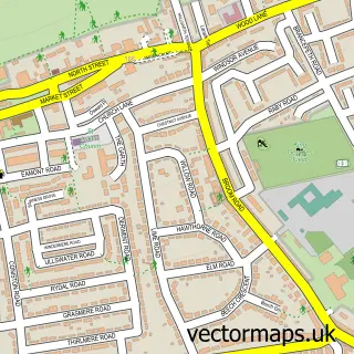
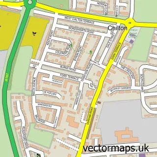
This Ferryhill Station street map is a detailed vector street map covering a 750m x 750m area. Select a larger area to create and download your own vector street map of Ferryhill Station.
The 750-metre map sample for Ferryhill Station covers 173 mapped buildings and approximately 8.3 km of road detail, of which 17 named roads are named. The immediate area includes 2 GP surgeries within 2 miles, 2 pubs and 3 MOT stations within 2 miles. The wider area around Ferryhill Station features 2 food and drink venues. To create a larger or custom map of Ferryhill Station, the map builder lets you define your own coverage area and download editable SVG, PDF and PNG files.
Create a larger editable map of Ferryhill Station
Choose any area you need and generate a high-quality vector map instantly. Perfect for print, planning, design, business and personal use.

This Ferryhill Station street map in Durham is available as downloadable SVG, PDF and PNG map files, or as a printed map for planning, business, display, education, local information and design work. You can also create a larger custom map area using the map selector.
What this Ferryhill Station map sample shows
Ferryhill Station lies within Ferryhill Cp parish, part of Ferryhill ward in the County Durham local authority area. The postcode geography for this area includes the DL postcode area, the DL17 postcode district and the DL17 8 postcode sector. Residents fall under the Nhs North East And North Cumbria Integrated Care Board for NHS services.
Local features near Ferryhill Station
Within 2 milesAmenities and services in and around Ferryhill Station.
Administrative and postcode information for Ferryhill Station
Ferryhill Station lies within Ferryhill Cp parish, part of Ferryhill ward in the County Durham local authority area. The postcode geography for this area includes the DL postcode area, the DL17 postcode district and the DL17 8 postcode sector. Residents fall under the Nhs North East And North Cumbria Integrated Care Board for NHS services.
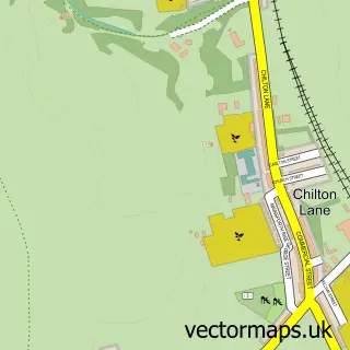
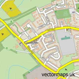
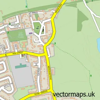
Nearby street map samples around Ferryhill Station


More street maps in Durham
750 metre map area coverage
Boundary, postcode and point of interest information for the 750m x 750m rectangle centred on this sample map.
Boundaries containing map centre
Constituency: Newton Aycliffe and Spennymoor Co Const
District: County Durham
Icb: NHS North East and North Cumbria ICB
Parish: Ferryhill CP
Police Force: durham
Postcode District: DL17
Postcode Sector: DL17 0
Nearby boundaries intersecting sample
Parish: Cornforth CP
Postcode Sector: DL17 8, DL17 9
Postcode coverage
POI category counts
Convenience Store: 5
Bakery: 2
Package Locker: 2
Post Office: 2
Pub: 2
Assisted Living Facility: 1
Barber: 1
Bathroom Remodeling: 1
Bubble Tea: 1
Community Center: 1
Sample points of interest
- Feryemount House Residential Care
- Fairy Hill Cakes
- Greggs
- Mo's Barbers Ferryhill
- Davies Builders
- Cakes N Boba
- Mainsforth Community Centre
- Ferryhill Store Duncombe Terrace
- Mainsforth Convenience Store
- Mainsforth News Ferryhill
- Premier
- Premier Ferryhill Convenience Store
Create a larger editable map of Ferryhill Station
This sample shows only a 750 metre area. To create a larger map of Ferryhill Station, use our map builder to choose your own coverage area, add titles and download editable SVG, PDF and PNG files.
Create a custom map of Ferryhill Station