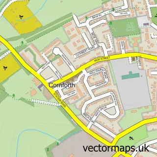
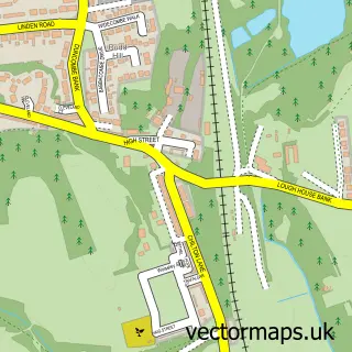
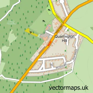
This Cornforth street map is a detailed vector street map covering a 750m x 750m area. Select a larger area to create and download your own vector street map of Cornforth.
The 750-metre map sample for Cornforth covers 278 mapped buildings and approximately 8.8 km of road detail, of which 18 named roads are named. The immediate area includes 1 school, 3 GP surgeries within 2 miles, 1 pub and 1 MOT station, with 4 within 2 miles. The wider area around Cornforth features 1 food and drink venue. To create a larger or custom map of Cornforth, the map builder lets you define your own coverage area and download editable SVG, PDF and PNG files.
Create a larger editable map of Cornforth
Choose any area you need and generate a high-quality vector map instantly. Perfect for print, planning, design, business and personal use.

This Cornforth street map in Durham is available as downloadable SVG, PDF and PNG map files, or as a printed map for planning, business, display, education, local information and design work. You can also create a larger custom map area using the map selector.
What this Cornforth map sample shows
Cornforth lies within Cornforth Cp parish, part of Bishop Middleham And Cornforth ward in the County Durham local authority area. The postcode geography for this area includes the DL postcode area, the DL17 postcode district and the DL17 9 postcode sector. Residents fall under the Nhs North East And North Cumbria Integrated Care Board for NHS services.
Local features near Cornforth
Within 2 milesAmenities and services in and around Cornforth.
Administrative and postcode information for Cornforth
The local authority covering Cornforth is County Durham, within the county of Durham. The settlement lies within Bishop Middleham And Cornforth ward and Cornforth Cp civil parish. The DL17 postcode district and DL17 9 postcode sector serve the immediate area. NHS provision in the area is delivered through County Durham And Darlington Nhs Foundation Trust.
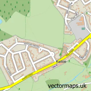
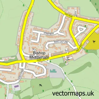
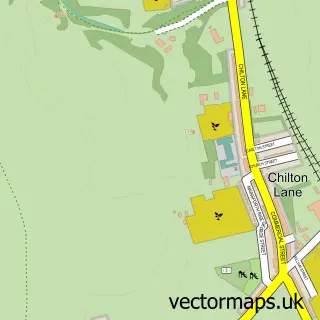
Nearby street map samples around Cornforth

More street maps in Durham
750 metre map area coverage
Boundary, postcode and point of interest information for the 750m x 750m rectangle centred on this sample map.
Boundaries containing map centre
Constituency: Newton Aycliffe and Spennymoor Co Const
District: County Durham
Icb: NHS North East and North Cumbria ICB
Parish: Cornforth CP
Police Force: durham
Postcode District: DL17
Postcode Sector: DL17 9
Nearby boundaries intersecting sample
Postcode District: DH6
Postcode Sector: DH6 4
Postcode coverage
POI category counts
Professional Services: 2
Agricultural Service: 1
Car Dealer: 1
Chinese Restaurant: 1
Church Cathedral: 1
Education: 1
Elementary School: 1
Environmental Conservation Organization: 1
Fruits And Vegetables: 1
Library: 1
Sample points of interest
- Earls Agriculturel Contractor Ltd Tractor with Driver Hire
- County Durham Car Sales
- Oriental Palace
- Holy Trinity Cornforth
- Rosette Training
- West Cornforth Primary School
- Thrislington Nature Reserve
- Ferryhill Fruit N Veg
- Cornforth Library
- West Cornforth War Memorial
- Party Time Inflatables
- Spiked Restoration Paintworks
Create a larger editable map of Cornforth
This sample shows only a 750 metre area. To create a larger map of Cornforth, use our map builder to choose your own coverage area, add titles and download editable SVG, PDF and PNG files.
Create a custom map of Cornforth