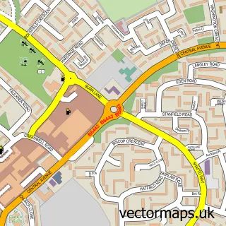
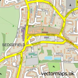
This Bradbury street map is a detailed vector street map covering a 750m x 750m area. Select a larger area to create and download your own vector street map of Bradbury.
The 750-metre map sample for Bradbury covers 46 mapped buildings and approximately 13.5 km of road detail. To create a larger or custom map of Bradbury, the map builder lets you define your own coverage area and download editable SVG, PDF and PNG files.
Create a larger editable map of Bradbury
Choose any area you need and generate a high-quality vector map instantly. Perfect for print, planning, design, business and personal use.

This Bradbury street map in Durham is available as downloadable SVG, PDF and PNG map files, or as a printed map for planning, business, display, education, local information and design work. You can also create a larger custom map area using the map selector.
What this Bradbury map sample shows
Bradbury lies within Bradbury And The Isle Cp parish, part of Sedgefield ward in the County Durham local authority area. The postcode geography for this area includes the TS postcode area, the TS21 postcode district and the TS21 2 postcode sector. Residents fall under the Nhs North East And North Cumbria Integrated Care Board for NHS services.
Local features near Bradbury
Within 2 milesAmenities and services in and around Bradbury.
Administrative and postcode information for Bradbury
Bradbury lies within Bradbury And The Isle Cp parish, part of Sedgefield ward in the County Durham local authority area. The postcode geography for this area includes the TS postcode area, the TS21 postcode district and the TS21 2 postcode sector. Residents fall under the Nhs North East And North Cumbria Integrated Care Board for NHS services.
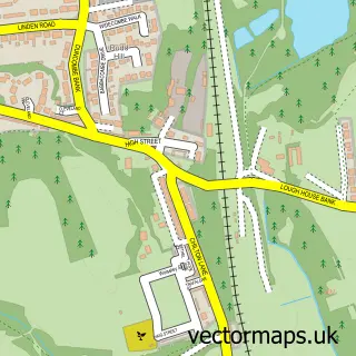
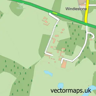
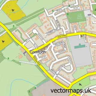
Nearby street map samples around Bradbury


More street maps in Durham
750 metre map area coverage
Boundary, postcode and point of interest information for the 750m x 750m rectangle centred on this sample map.
Boundaries containing map centre
Constituency: Newton Aycliffe and Spennymoor Co Const
District: County Durham
Icb: NHS North East and North Cumbria ICB
Parish: Bradbury and the Isle CP
Police Force: durham
Postcode District: TS21
Postcode Sector: TS21 2
Nearby boundaries intersecting sample
Postcode District: DL17
Postcode Sector: DL17 0
Postcode coverage
POI category counts
Gas Station: 3
Convenience Store: 2
Driving School: 2
Animal Shelter: 1
Contractor: 1
Personal Care Service: 1
Rental Kiosks: 1
Veterinarian: 1
Sample points of interest
- Aristocats and Allsorts Luxury Cat Hotel
- MC Groundworks and Landscaping
- Costcutter
- SPAR
- Gold Fleet Services
- Gold Fleet Services
- Bradbury Service Station
- Gulf
- Harvest Energy
- Aristocats & Allsorts Luxury Cats Hotel
- Certas Energy Uk Ltd @ Bradbury
- Wear Referrals Veterinary Specialist & Emergency Hospital
Create a larger editable map of Bradbury
This sample shows only a 750 metre area. To create a larger map of Bradbury, use our map builder to choose your own coverage area, add titles and download editable SVG, PDF and PNG files.
Create a custom map of Bradbury