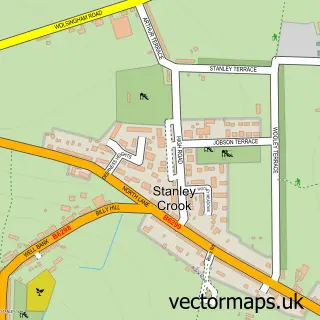
This Crook street map is a detailed vector street map covering a 750m x 750m area. Select a larger area to create and download your own vector street map of Crook.
The 750-metre map sample for Crook covers 404 mapped buildings and approximately 22.3 km of road detail, of which 49 named roads are named. The immediate area includes 1 school, 1 GP surgery within 2 miles, 8 pubs and 1 MOT station, with 4 within 2 miles. The wider area around Crook features 2 tourism points of interest and 11 food and drink venues. To create a larger or custom map of Crook, the map builder lets you define your own coverage area and download editable SVG, PDF and PNG files.
Create a larger editable map of Crook
Choose any area you need and generate a high-quality vector map instantly. Perfect for print, planning, design, business and personal use.

This Crook street map in Durham is available as downloadable SVG, PDF and PNG map files, or as a printed map for planning, business, display, education, local information and design work. You can also create a larger custom map area using the map selector.
What this Crook map sample shows
Crook lies within County Durham parish, part of Crook ward in the County Durham local authority area. The postcode geography for this area includes the DL postcode area, the DL15 postcode district and the DL15 9 postcode sector. Residents fall under the Nhs North East And North Cumbria Integrated Care Board for NHS services.
Local features near Crook
Within 2 milesAmenities and services in and around Crook.
Administrative and postcode information for Crook
The local authority covering Crook is County Durham, within the county of Durham. The settlement lies within Crook ward and County Durham civil parish. The DL15 postcode district and DL15 9 postcode sector serve the immediate area. NHS provision in the area is delivered through County Durham And Darlington Nhs Foundation Trust.
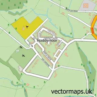
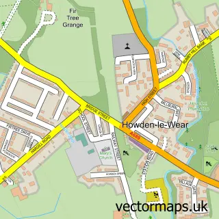
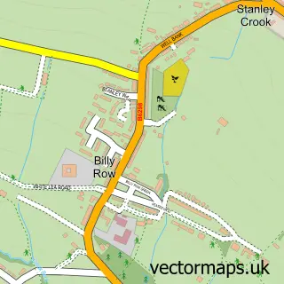
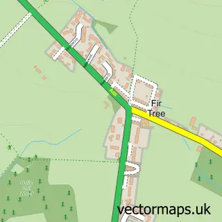
Nearby street map samples around Crook

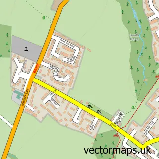
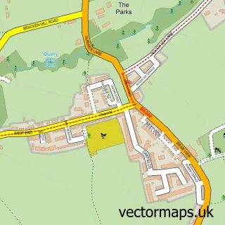
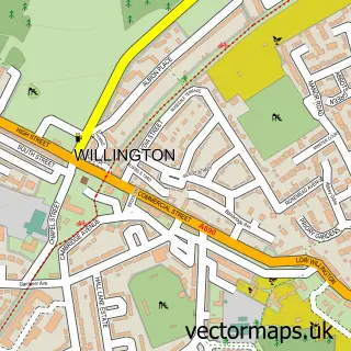
More street maps in Durham
750 metre map area coverage
Boundary, postcode and point of interest information for the 750m x 750m rectangle centred on this sample map.
Boundaries containing map centre
Constituency: Bishop Auckland Co Const
District: County Durham
Icb: NHS North East and North Cumbria ICB
Police Force: durham
Postcode District: DL15
Postcode Sector: DL15 9
Nearby boundaries intersecting sample
Postcode Sector: DL15 8
Postcode coverage
POI category counts
Pub: 8
Beauty Salon: 7
Hair Salon: 7
Betting Center: 4
Pizza Restaurant: 4
Professional Services: 4
Building Supply Store: 3
Fast Food Restaurant: 3
Fish And Chips Restaurant: 3
It Service And Computer Repair: 3
Sample points of interest
- Parklands Care Home
- Japanese Classics
- Prince Bishop Garage
- Cooplands
- Greggs
- Newcastle Building Society
- Bubbles and Bites Champagne and Cocktail Bar
- The Kings Head
- Hardy Barbers
- C. Louise Aesthetics
- Aesthetica Skin
- Beautique
Create a larger editable map of Crook
This sample shows only a 750 metre area. To create a larger map of Crook, use our map builder to choose your own coverage area, add titles and download editable SVG, PDF and PNG files.
Create a custom map of Crook